2000s (21st Century) Maps of Plain Center Township, South Dakota
Explore 16 historic maps of Plain Center Township from the 2000s (21st Century). These maps offer a rare glimpse into what life looked like during the 2000s — showing old roads, neighborhoods, homes, and landmarks that have changed or disappeared over time.
Whether you're researching your family's past, planning a metal detecting trip, or studying how Plain Center Township's landscape evolved across the 2000s, these high-resolution maps are a powerful tool for exploring the history of this region.
- Focus on a specific era: All maps on this page are from the 2000s, giving you a focused view of this time period.
- See what’s changed: Compare century-old streets, trails, and buildings to today's modern landscape using overlays and satellite layers.
- Research with precision: Use these maps for genealogy, historical research, land use analysis, or educational projects.
- View, download, or print: Maps are fully viewable online in high resolution, and can be downloaded or printed for your own records.
Start exploring Plain Center Township's history through authentic maps from the 2000s. This is your window into the past.
Plain Center Township, SD maps
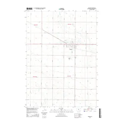
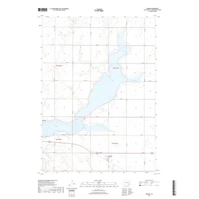
(16)- 2012 Map of Ravinia, 2012 Print
 2012 Ravinia2012 Print · USGSCovers Plain Center Township, including Ravinia, White Swan Township, and other nearby areas
 - 2012 Map of Wagner, 2012 Print
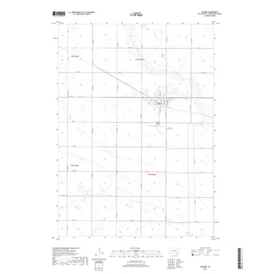
 2012 Wagner2012 Print · USGSCovers Plain Center Township, including Wagner, Lawrence Township, and other nearby areas
 - 2012 Map of Wagner SW, 2012 Print
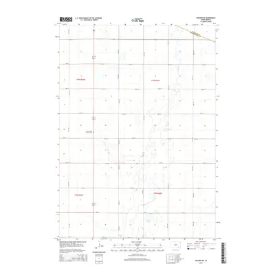
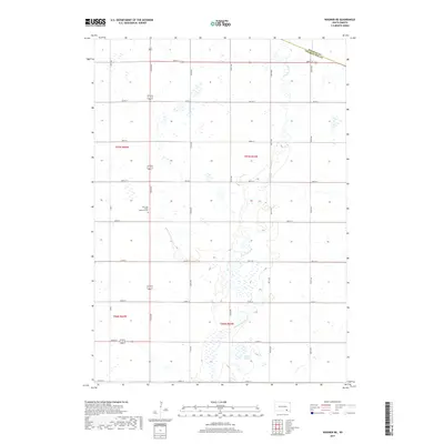
 2012 Wagner SW2012 Print · USGSCovers Plain Center Township, including White Swan Township, Charles Mix County, and other nearby areas
 - 2012 Map of Wagner NE, 2012 Print
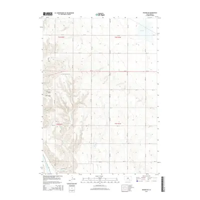
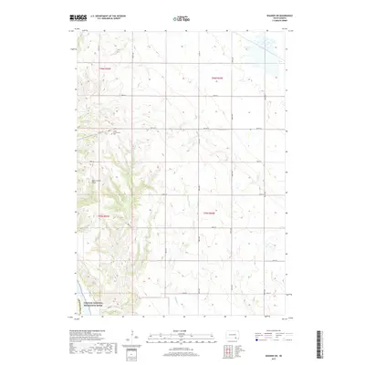
 2012 Wagner NE2012 Print · USGSCovers Plain Center Township, including Howard Township, Independence Township, and other nearby areas
 - 2015 Map of Wagner, 2015 Print
 2015 Wagner2015 Print · USGSCovers Plain Center Township, including Wagner, Lawrence Township, and other nearby areas
 - 2015 Map of Wagner NE, 2015 Print
 2015 Wagner NE2015 Print · USGSCovers Plain Center Township, including Howard Township, Independence Township, and other nearby areas
 - 2015 Map of Wagner SW, 2015 Print
 2015 Wagner SW2015 Print · USGSCovers Plain Center Township, including White Swan Township, Charles Mix County, and other nearby areas
 - 2015 Map of Ravinia, 2015 Print
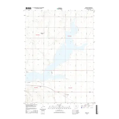 2015 Ravinia2015 Print · USGSCovers Plain Center Township, including Ravinia, White Swan Township, and other nearby areas
 - 2017 Map of Wagner, 2017 Print
 2017 Wagner2017 Print · USGSCovers Plain Center Township, including Wagner, Lawrence Township, and other nearby areas
 - 2017 Map of Wagner SW, 2017 Print
 2017 Wagner SW2017 Print · USGSCovers Plain Center Township, including White Swan Township, Charles Mix County, and other nearby areas
 - 2017 Map of Wagner NE, 2017 Print
 2017 Wagner NE2017 Print · USGSCovers Plain Center Township, including Howard Township, Independence Township, and other nearby areas
 - 2017 Map of Ravinia, 2017 Print
 2017 Ravinia2017 Print · USGSCovers Plain Center Township, including Ravinia, White Swan Township, and other nearby areas
 - 2021 Map of Wagner NE, 2021 Print
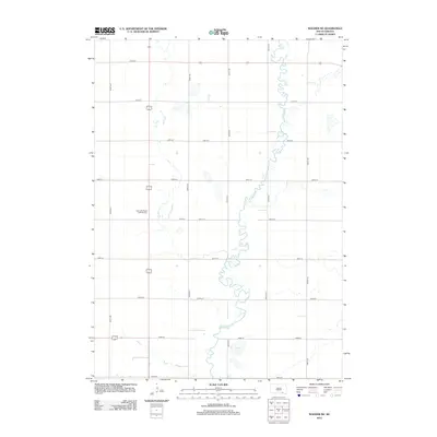
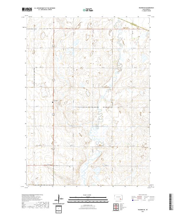 2021 Wagner NE2021 Print · USGSCharles Mix County agricultural lands and the meandering path of Choteau Creek are documented in this contemporary survey. Researchers can locate the East Lake Andes Lutheran Cem and trace rural section lines like 286th St and 392nd Ave.
 - 2021 Map of Wagner, 2021 Print
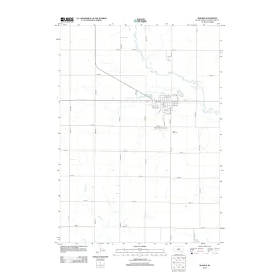
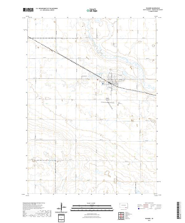 2021 Wagner2021 Print · USGSThe community of Wagner in Charles Mix County is shown in this contemporary 2020s survey of the South Dakota plains. Researchers can trace the local landscape from the banks of Choteau Creek to the town grid near Saint Johns Cem and the Wagner Municipal Airport.
 - 2021 Map of Wagner SW, 2021 Print
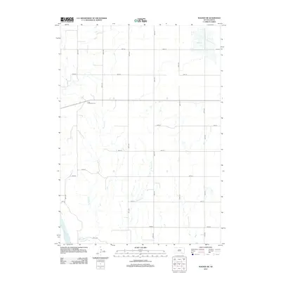
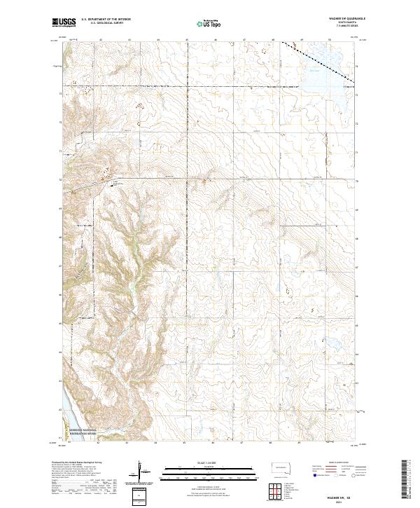 2021 Wagner SW2021 Print · USGSCharles Mix County at the start of the 2020s shows a landscape where the prairie meets the protected waters of the Missouri River. Genealogists and local historians can trace family roots at the Cedar Presbyterian Cem or follow the path of Sevenmile Cr toward the river valley.
 - 2021 Map of Ravinia, 2021 Print
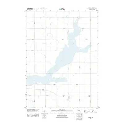
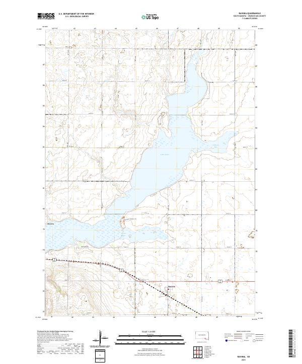 2021 Ravinia2021 Print · USGSRavinia and the banks of Lake Andes appear here in the early 2020s, showing the modern layout of this Charles Mix County landscape. Researchers can trace local landmarks like Dezera, the waters of Johnson Bay, and the protected pathways along the Owens Bay Wildlife Trl.
End of results
Showing maps 1-16 of 16
Top cities near Plain Center Township
- Wagner historical maps
- Lake Andes historical maps
- Armour historical maps
- Pickstown historical maps
- Dante historical maps
- Ravinia historical maps
See more
Top neighborhoods of Plain Center Township
Frequently asked questions
- What are the different types of historical maps available for Plain Center Township?
- What is the oldest map of Plain Center Township?
- Where can I purchase historical maps of Plain Center Township for my home or office?
- Where can I download high-res historical maps of Plain Center Township?
- Are there historical topographic maps available for Plain Center Township?
- Is there historical aerial imagery available for Plain Center Township?
- Where are historical maps of Plain Center Township sourced from?