Old Maps of Burbank, South Dakota for Hiking & Exploration
Hike through history with 13 historic maps of Burbank. Explore old trails, ghost towns, and forgotten backroads — perfect for outdoor adventurers and local explorers.
- Rediscover forgotten places: Map out old mining camps, roads, and footpaths that no longer exist on modern maps.
- Layer with modern tools: Combine with LiDAR or satellite views to plan hikes through historical terrain.
- Made for exploration: Popular among hikers, overlanders, and local history lovers.
Use these maps to find adventure and explore the hidden past of Burbank.
Burbank, SD maps
(13)- 1898 Map of Elk Point, 1960 Print
 1898 Elk Point1960 Print · USGSThe tri-state borderlands of South Dakota, Nebraska, and Iowa are captured here in the late nineteenth century as a landscape of ferries and river-fed commerce. Researchers can trace the early foundations of Elk Point and Vermillion or locate vanished crossings like Ionia Ferry and the Ponca Ferry.2 unique versions available
 - 1901 Map of Elk Point
 1901 Elk Point1901 Print · USGSThe tri-state borderlands of South Dakota, Nebraska, and Iowa are captured here at the turn of the century during the peak of the steam rail era. Researchers can trace the original paths of the Chicago Milwaukee and St. Paul Ry. and locate early settlements like Spirit Mound, Newcastle, and Burbank.
 - 1907 Map of Elk Point
 1907 Elk Point1907 Print · USGSThe tri-state borderlands of South Dakota, Nebraska, and Iowa are shown here at the start of the century, centered on the Missouri and Big Sioux river valleys. Researchers can trace the river's old path through oxbows like Mc Cook Lake and locate early river crossings including Vermilion Ferry and Ponca Ferry.6 unique versions available
 - 1955 Map of Sioux City, 1959 Print
 1955 Sioux City1959 Print · USGSThe Missouri River valley in the mid-fifties is captured here during a time of major engineering and social transition. Genealogists and historians can trace the foundations of Gavins Point Dam, tribal boundaries on the Santee Sioux Indian Reservation, and local landmarks like the Norfolk State Hospital.4 unique versions available
 - 1958 Map of Sioux City
 1958 Sioux City1958 Print · USGSThe Missouri River valley in the late fifties was a bustling intersection of tribal lands, rail corridors, and river towns. Genealogists can trace family roots through specific rural sites like Daisy Valley School, St Johns Church and School, and Yankton State Hospital.
 - 1959 Map of Sioux City
 1959 Sioux City1959 Print · USGSThe tri-state region surrounding the Missouri River is captured here in the late fifties, showing the convergence of Nebraska, South Dakota, and Iowa. Researchers can trace rural lineages through numerous country schoolhouses like Cemetery School and the many numbered Washington School districts.
 - 1964 Map of Burbank, 1966 Print
 1964 Burbank1966 Print · USGSThe Missouri River valley at the South Dakota and Nebraska border is captured here in the mid-1960s, showing the intersection of river transport and rail. Researchers can trace family history at Ionia Cem or locate the South Bend Sch and Lembke Landing.
 - 1986 Map of Sioux City North
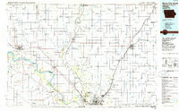 1986 Sioux City North1986 Print · USGSThe tri-state borderlands of Iowa, South Dakota, and Nebraska are captured here in the mid-eighties as the region's agricultural and academic centers thrived. Researchers can trace historic rail lines like the Illinois Central Gulf and locate landmarks from Briar Cliff College to the heights of Spirit Mound.2 unique versions available
 - 1994 Map of Burbank, 1995 Print
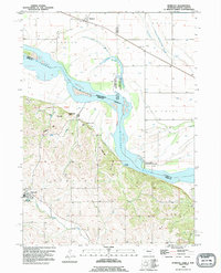 1994 Burbank1995 Print · USGSThe Missouri River valley at the South Dakota and Nebraska border reveals a mix of prairie rail towns and river bluffs in the 1990s. Trace local family history through Ionia Cem, the town of Newcastle, and the historic Lembke Landing.
 - 2012 Map of Burbank, 2012 Print
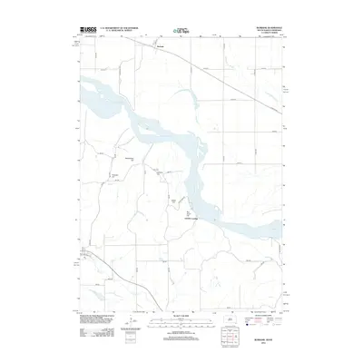 2012 Burbank2012 Print · USGSThe Missouri River borderlands near the South Dakota and Nebraska line appear in this 2012 survey. Genealogists and local historians can locate Ionia Cem and trace the terrain across family-named landmarks like Pumpkin Hill, Lembke Landing, and Rattlesnake Hill.
 - 2015 Map of Burbank, 2015 Print
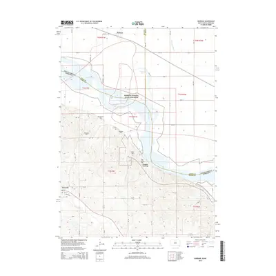 2015 Burbank2015 Print · USGSThe Missouri River valley at the South Dakota and Nebraska border reveals a mix of river-bottom ecology and bluff-top settlements. Researchers can trace the layout of Newcastle, find the Ionia Cem, and locate landmarks like Boy Scout Hill.
 - 2017 Map of Burbank, 2017 Print
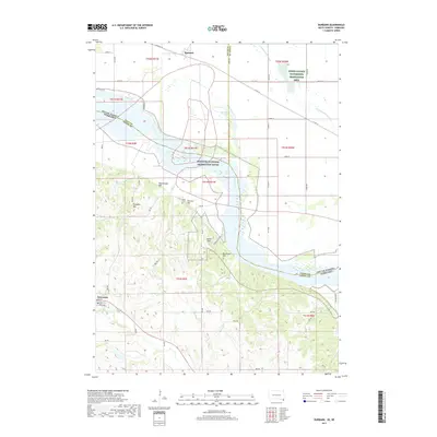 2017 Burbank2017 Print · USGSThe Missouri River border between South Dakota and Nebraska is captured here in the late 2010s. Local researchers can trace family sites near Newcastle, locate the Ionia Cem, or explore the terrain around Rattlesnake Hill and Burbank Lake.
 - 2021 Map of Burbank, 2021 Print
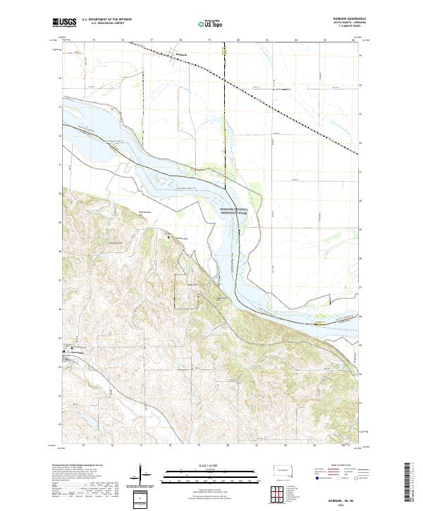 2021 Burbank2021 Print · USGSThe Missouri River borderlands between South Dakota and Nebraska come alive in this recent survey. Genealogists can trace family sites at Saint Peters Calvary Cem and Ionia Cem, or explore the hills around Newcastle and Burbank.
End of results
Showing maps 1-13 of 13
Top cities near Burbank
- Vermillion historical maps
- Elk Point historical maps
- Ponca historical maps
- Big Springs historical maps
- Spink historical maps
- Newcastle historical maps
See more
Frequently asked questions
- What are the different types of historical maps available for Burbank?
- What is the oldest map of Burbank?
- Where can I purchase historical maps of Burbank for my home or office?
- Where can I download high-res historical maps of Burbank?
- Are there historical topographic maps available for Burbank?
- Is there historical aerial imagery available for Burbank?
- Where are historical maps of Burbank sourced from?