2000s (21st Century) Maps of Prairie Center Township, South Dakota
Explore 16 historic maps of Prairie Center Township from the 2000s (21st Century). These maps offer a rare glimpse into what life looked like during the 2000s — showing old roads, neighborhoods, homes, and landmarks that have changed or disappeared over time.
Whether you're researching your family's past, planning a metal detecting trip, or studying how Prairie Center Township's landscape evolved across the 2000s, these high-resolution maps are a powerful tool for exploring the history of this region.
- Focus on a specific era: All maps on this page are from the 2000s, giving you a focused view of this time period.
- See what’s changed: Compare century-old streets, trails, and buildings to today's modern landscape using overlays and satellite layers.
- Research with precision: Use these maps for genealogy, historical research, land use analysis, or educational projects.
- View, download, or print: Maps are fully viewable online in high resolution, and can be downloaded or printed for your own records.
Start exploring Prairie Center Township's history through authentic maps from the 2000s. This is your window into the past.
Prairie Center Township, SD maps
(16)- 2012 Map of Vermillion SE, 2012 Print
 2012 Vermillion SE2012 Print · USGSCovers Prairie Center Township, including Fairview Township, Spink Township, and other nearby areas
 - 2012 Map of Vermillion, 2012 Print
 2012 Vermillion2012 Print · USGSCovers Prairie Center Township, including Vermillion, Vermillion Township, and other nearby areas
 - 2012 Map of Alsen, 2012 Print
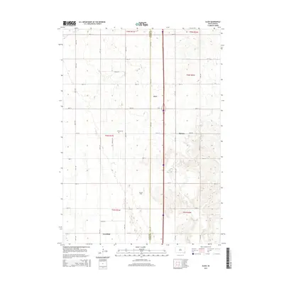
 2012 Alsen2012 Print · USGSCovers Prairie Center Township, including Spink Township, Hill Side, and other nearby areas
 - 2012 Map of Hub City, 2012 Print
 2012 Hub City2012 Print · USGSCovers Prairie Center Township, including Pleasant Valley Township, Clay Point, and other nearby areas
 - 2015 Map of Vermillion SE, 2015 Print
 2015 Vermillion SE2015 Print · USGSCovers Prairie Center Township, including Fairview Township, Spink Township, and other nearby areas
 - 2015 Map of Alsen, 2015 Print
 2015 Alsen2015 Print · USGSCovers Prairie Center Township, including Spink Township, Hill Side, and other nearby areas
 - 2015 Map of Hub City, 2015 Print
 2015 Hub City2015 Print · USGSCovers Prairie Center Township, including Pleasant Valley Township, Clay Point, and other nearby areas
 - 2015 Map of Vermillion, 2015 Print
 2015 Vermillion2015 Print · USGSCovers Prairie Center Township, including Vermillion, Vermillion Township, and other nearby areas
 - 2017 Map of Alsen, 2017 Print
 2017 Alsen2017 Print · USGSCovers Prairie Center Township, including Spink Township, Hill Side, and other nearby areas
 - 2017 Map of Hub City, 2017 Print
 2017 Hub City2017 Print · USGSCovers Prairie Center Township, including Pleasant Valley Township, Clay Point, and other nearby areas
 - 2017 Map of Vermillion SE, 2017 Print
 2017 Vermillion SE2017 Print · USGSCovers Prairie Center Township, including Fairview Township, Spink Township, and other nearby areas
 - 2017 Map of Vermillion, 2017 Print
 2017 Vermillion2017 Print · USGSCovers Prairie Center Township, including Vermillion, Vermillion Township, and other nearby areas
 - 2021 Map of Alsen, 2021 Print
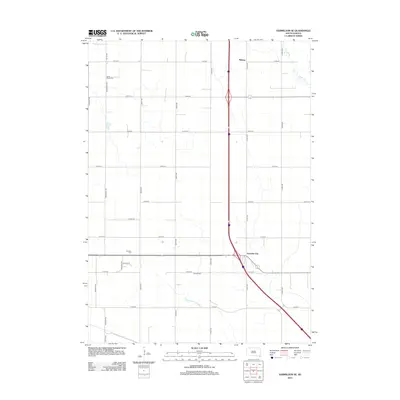
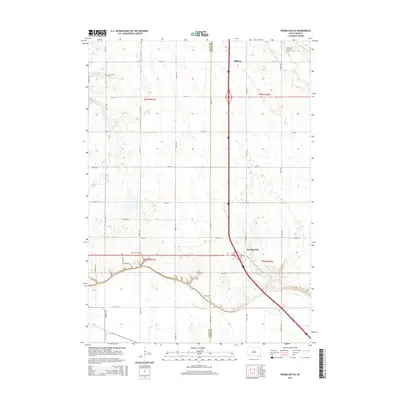
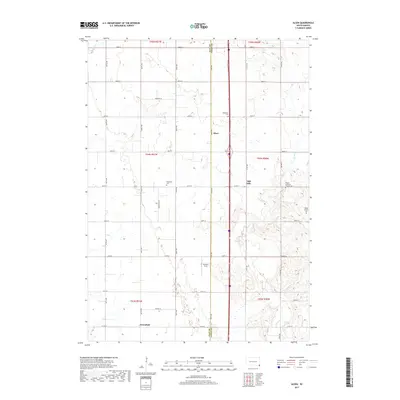
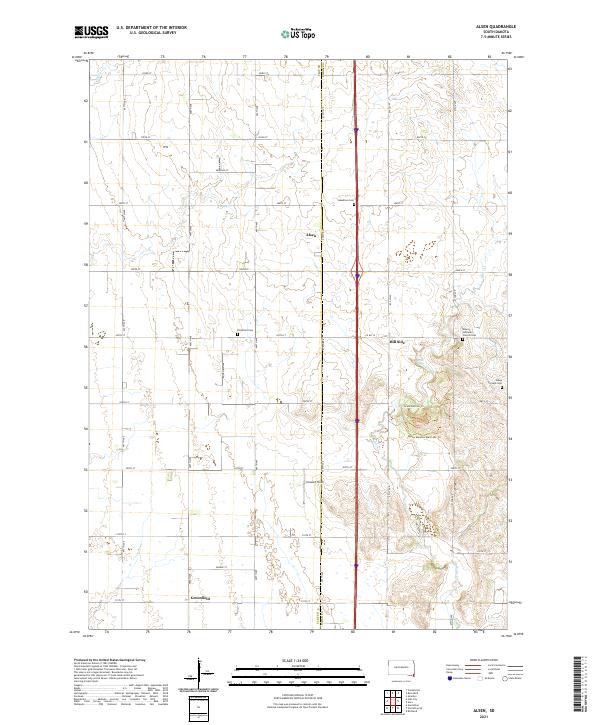 2021 Alsen2021 Print · USGSSoutheastern South Dakota farmland meets the winding banks of Brule Cr in this recent study of the Clay and Union county line. Researchers can locate family landmarks like Steadman Cem, Rockfield Cem, and the community of Alsen.
 - 2021 Map of Vermillion SE, 2021 Print
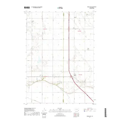
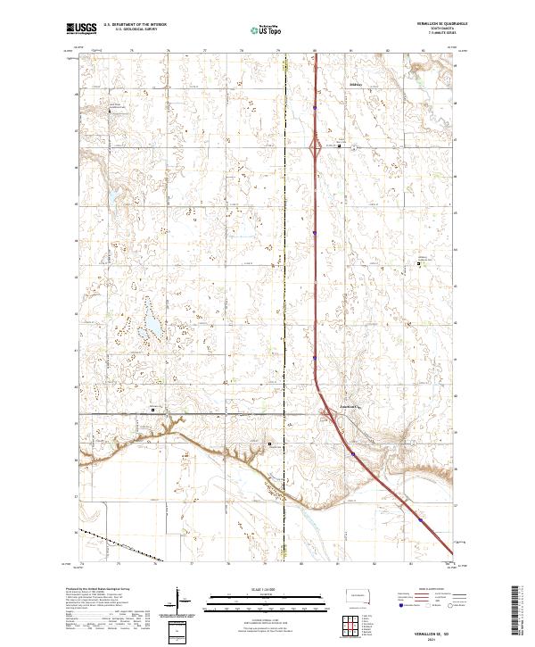 2021 Vermillion SE2021 Print · USGSClay and Union counties in 2021 reveal a landscape of enduring rural settlements and family heritage. Genealogists can locate several historic burial sites like Saint Mary Cem and Dowlin Cem near the community of Junction City.
 - 2021 Map of Vermillion, 2021 Print
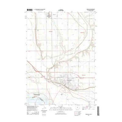
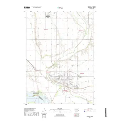
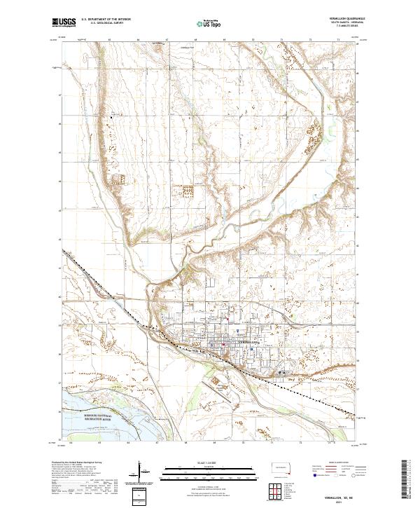 2021 Vermillion2021 Print · USGSThe riverfront city of Vermillion and its university campus are documented here in the early twenty-first century as the city meets the Missouri River. Researchers can trace local landmarks like the Clay County Courthouse, Spirit Mound, and the historic Clay Creek Cem.
 - 2021 Map of Hub City, 2021 Print
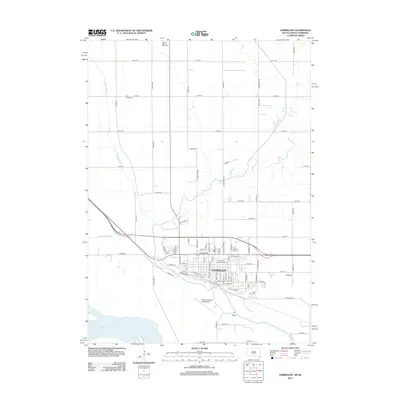
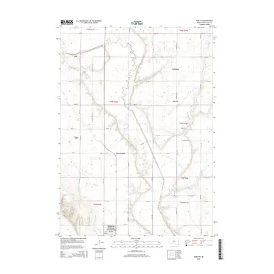
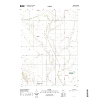
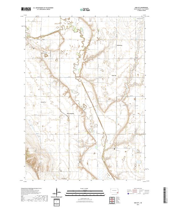 2021 Hub City2021 Print · USGSClay County at the start of the 2020s shows a deeply rooted agricultural landscape shaped by the Vermillion River. Researchers can trace old family sites near Bloomingdale, Dalesburg, and several historic burying grounds like Spirit Mound Cem.
End of results
Showing maps 1-16 of 16
Top cities near Prairie Center Township
- Vermillion historical maps
- Beresford historical maps
- Elk Point historical maps
- Emmet historical maps
- Spink historical maps
- Newcastle historical maps
See more
Top neighborhoods of Prairie Center Township
Frequently asked questions
- What are the different types of historical maps available for Prairie Center Township?
- What is the oldest map of Prairie Center Township?
- Where can I purchase historical maps of Prairie Center Township for my home or office?
- Where can I download high-res historical maps of Prairie Center Township?
- Are there historical topographic maps available for Prairie Center Township?
- Is there historical aerial imagery available for Prairie Center Township?
- Where are historical maps of Prairie Center Township sourced from?