Old Maps of Prairie Center Township, South Dakota
Explore 28 old maps of Prairie Center Township, spanning from 1898 to today. These high-resolution historic maps reveal how streets, neighborhoods, landmarks, and natural features evolved over time — perfect for genealogy, metal detecting, research, and local history exploration.
What you can do with these maps:
- See how Prairie Center Township changed over time: Compare historical maps to modern-day views to trace roads, homesites, rail lines & more.
- View detailed metadata: Each map includes creators, publishers, year, scale, and archive source.
- Overlay maps with satellite & LiDAR: Visualize the past alongside modern tools to explore terrain & human change.
- Trusted historical sources: Maps sourced from the USGS, Library of Congress, and other archives.
- Access maps your way: View online, download high-res files, or order prints for personal or research use.
Start exploring old maps of Prairie Center Township to uncover forgotten places, hidden landmarks, and the deep history beneath your feet.
Prairie Center Township, SD maps
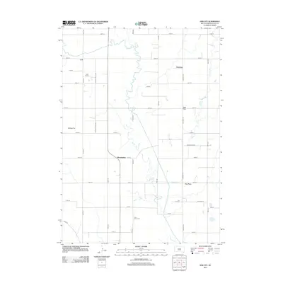
(28)- 1898 Map of Elk Point, 1960 Print
 1898 Elk Point1960 Print · USGSThe tri-state borderlands of South Dakota, Nebraska, and Iowa are captured here in the late nineteenth century as a landscape of ferries and river-fed commerce. Researchers can trace the early foundations of Elk Point and Vermillion or locate vanished crossings like Ionia Ferry and the Ponca Ferry.2 unique versions available
 - 1901 Map of Elk Point
 1901 Elk Point1901 Print · USGSThe tri-state borderlands of South Dakota, Nebraska, and Iowa are captured here at the turn of the century during the peak of the steam rail era. Researchers can trace the original paths of the Chicago Milwaukee and St. Paul Ry. and locate early settlements like Spirit Mound, Newcastle, and Burbank.
 - 1907 Map of Elk Point
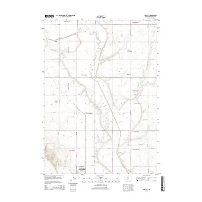
 1907 Elk Point1907 Print · USGSThe tri-state borderlands of South Dakota, Nebraska, and Iowa are shown here at the start of the century, centered on the Missouri and Big Sioux river valleys. Researchers can trace the river's old path through oxbows like Mc Cook Lake and locate early river crossings including Vermilion Ferry and Ponca Ferry.6 unique versions available
 - 1955 Map of Sioux City, 1959 Print
 1955 Sioux City1959 Print · USGSThe Missouri River valley in the mid-fifties is captured here during a time of major engineering and social transition. Genealogists and historians can trace the foundations of Gavins Point Dam, tribal boundaries on the Santee Sioux Indian Reservation, and local landmarks like the Norfolk State Hospital.4 unique versions available
 - 1958 Map of Sioux City
 1958 Sioux City1958 Print · USGSThe Missouri River valley in the late fifties was a bustling intersection of tribal lands, rail corridors, and river towns. Genealogists can trace family roots through specific rural sites like Daisy Valley School, St Johns Church and School, and Yankton State Hospital.
 - 1959 Map of Sioux City
 1959 Sioux City1959 Print · USGSThe tri-state region surrounding the Missouri River is captured here in the late fifties, showing the convergence of Nebraska, South Dakota, and Iowa. Researchers can trace rural lineages through numerous country schoolhouses like Cemetery School and the many numbered Washington School districts.
 - 1969 Map of Hub City, 1971 Print
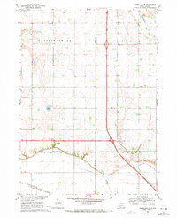
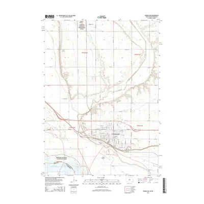
 1969 Hub City1971 Print · USGSClay County farming life in the late sixties is centered here on the winding Vermillion River. Genealogists can trace ancestral sites at Lodi Cem, the Dalesburg Sch, and the landmark Spirit Mound.
 - 1969 Map of Vermillion, 1971 Print
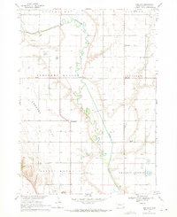
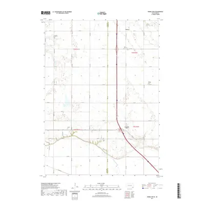
 1969 Vermillion1971 Print · USGSThe university campus and Missouri River floodplain meet in this late-sixties portrait of Vermillion. Genealogists and historians can trace local landmarks like Spirit Mound, Bluff View Cemetery, and the University of South Dakota.2 unique versions available
 - 1969 Map of Alsen, 1971 Print
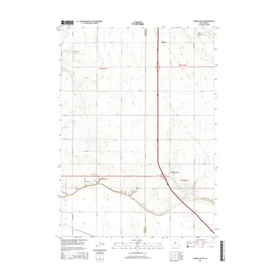
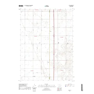
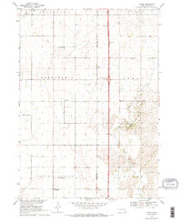 1969 Alsen1971 Print · USGSSoutheast South Dakota's prairie townships are captured here in the late sixties as the new interstate era began to reshape the rural landscape. Genealogists and local researchers can trace the locations of the Rockfield Cem, Roseni Ch, and multiple schoolhouses including Brule Sch.2 unique versions available
 - 1969 Map of Vermillion SE, 1971 Print
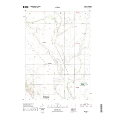
 1969 Vermillion SE1971 Print · USGSSoutheast of Vermillion in the late sixties, this survey shows the rural settlements of Junction City and Midway along the county line. Genealogists can locate several remote burial grounds and churches, including St Peters Cem, St Peter Ch, and Ahlsborg Ch Cem.
 - 1986 Map of Sioux City North
 1986 Sioux City North1986 Print · USGSThe tri-state borderlands of Iowa, South Dakota, and Nebraska are captured here in the mid-eighties as the region's agricultural and academic centers thrived. Researchers can trace historic rail lines like the Illinois Central Gulf and locate landmarks from Briar Cliff College to the heights of Spirit Mound.2 unique versions available
 - 1994 Map of Vermillion, 1995 Print
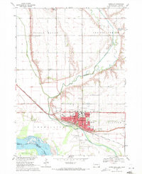
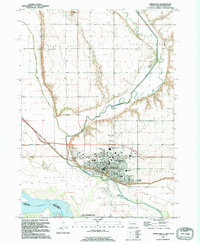 1994 Vermillion1995 Print · USGSVermillion and the surrounding Missouri River bottomlands are shown in great detail in the mid-nineties. Local historians can trace the development of the University of South Dakota campus, the Dakotadome, and family sites like Bluff View Cemetery.
 - 2012 Map of Vermillion SE, 2012 Print
 2012 Vermillion SE2012 Print · USGSCovers Prairie Center Township, including Fairview Township, Spink Township, and other nearby areas
 - 2012 Map of Vermillion, 2012 Print
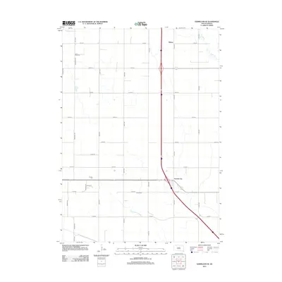
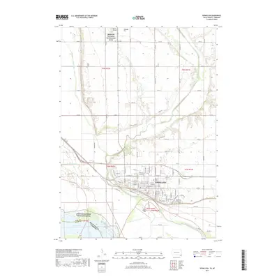
 2012 Vermillion2012 Print · USGSCovers Prairie Center Township, including Vermillion, Vermillion Township, and other nearby areas
 - 2012 Map of Alsen, 2012 Print
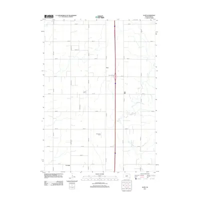 2012 Alsen2012 Print · USGSCovers Prairie Center Township, including Spink Township, Hill Side, and other nearby areas
 - 2012 Map of Hub City, 2012 Print
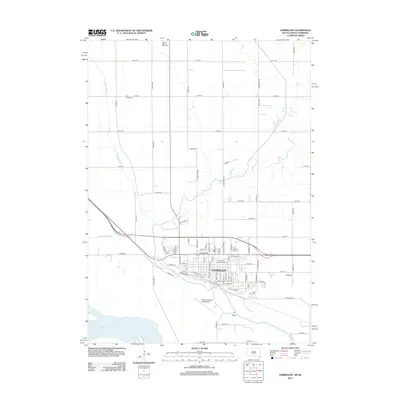
 2012 Hub City2012 Print · USGSCovers Prairie Center Township, including Pleasant Valley Township, Clay Point, and other nearby areas
 - 2015 Map of Vermillion SE, 2015 Print
 2015 Vermillion SE2015 Print · USGSCovers Prairie Center Township, including Fairview Township, Spink Township, and other nearby areas
 - 2015 Map of Alsen, 2015 Print
 2015 Alsen2015 Print · USGSCovers Prairie Center Township, including Spink Township, Hill Side, and other nearby areas
 - 2015 Map of Hub City, 2015 Print
 2015 Hub City2015 Print · USGSCovers Prairie Center Township, including Pleasant Valley Township, Clay Point, and other nearby areas
 - 2015 Map of Vermillion, 2015 Print
 2015 Vermillion2015 Print · USGSCovers Prairie Center Township, including Vermillion, Vermillion Township, and other nearby areas
 - 2017 Map of Alsen, 2017 Print
 2017 Alsen2017 Print · USGSCovers Prairie Center Township, including Spink Township, Hill Side, and other nearby areas
 - 2017 Map of Hub City, 2017 Print
 2017 Hub City2017 Print · USGSCovers Prairie Center Township, including Pleasant Valley Township, Clay Point, and other nearby areas
 - 2017 Map of Vermillion SE, 2017 Print
 2017 Vermillion SE2017 Print · USGSCovers Prairie Center Township, including Fairview Township, Spink Township, and other nearby areas
 - 2017 Map of Vermillion, 2017 Print
 2017 Vermillion2017 Print · USGSCovers Prairie Center Township, including Vermillion, Vermillion Township, and other nearby areas
 - 2021 Map of Alsen, 2021 Print
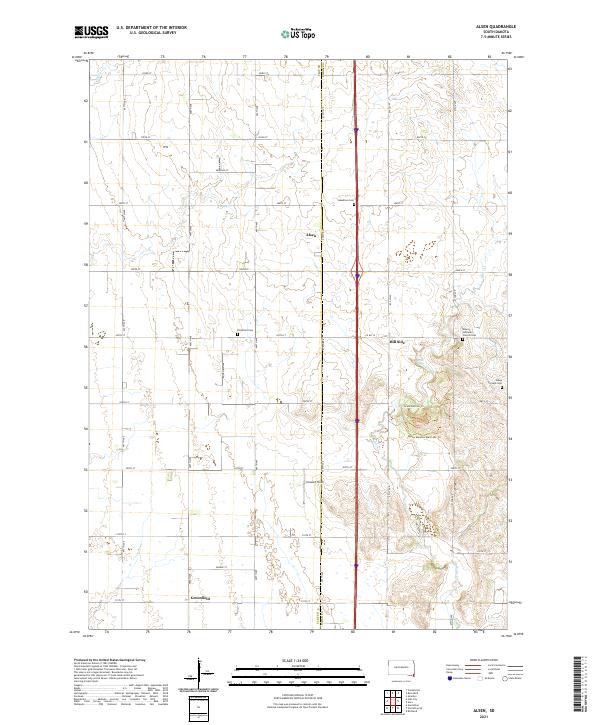 2021 Alsen2021 Print · USGSSoutheastern South Dakota farmland meets the winding banks of Brule Cr in this recent study of the Clay and Union county line. Researchers can locate family landmarks like Steadman Cem, Rockfield Cem, and the community of Alsen.
Showing maps 1-25 of 28
Top cities near Prairie Center Township
- Vermillion historical maps
- Beresford historical maps
- Elk Point historical maps
- Emmet historical maps
- Spink historical maps
- Newcastle historical maps
See more
Top neighborhoods of Prairie Center Township
Frequently asked questions
- What are the different types of historical maps available for Prairie Center Township?
- What is the oldest map of Prairie Center Township?
- Where can I purchase historical maps of Prairie Center Township for my home or office?
- Where can I download high-res historical maps of Prairie Center Township?
- Are there historical topographic maps available for Prairie Center Township?
- Is there historical aerial imagery available for Prairie Center Township?
- Where are historical maps of Prairie Center Township sourced from?