Old Maps of Miscol, Rock Creek District for Genealogy
Trace your family roots with 8 historic maps of Miscol. These high-res maps reveal old neighborhoods, homesites, landmarks, and streets — helping you uncover where your ancestors lived and how the area evolved over time.
- Explore historic neighborhoods: Identify where your relatives may have lived in the 1800s or 1900s.
- Compare maps over time: Trace the changes in streets, buildings, and landmarks for multi-generational research.
- Perfect for genealogy & ancestry research: Used by family historians and researchers to map out lineage and migration.
These maps are an incredible resource for exploring your personal connection to Miscol's past.
Miscol, Rock Creek District maps
(8)- 1953 Map of McIntosh, 1965 Print
 1953 McIntosh1965 Print · USGSThe north-central Dakota prairie is captured here during the mid-fifties, showing the vast Standing Rock Indian Reservation and the newly formed Oah E Reservoir. Genealogists and historians can trace the Chicago Milwaukee St Paul and Pacific rail line through stops like McIntosh, Walker, and Eagle Butte.3 unique versions available
 - 1956 Map of Miscol, 1957 Print
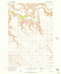 1956 Miscol1957 Print · USGSThe Grand River cuts through the Corson County high plains in the mid-1950s, revealing a landscape of deep meanders and high plateaus. Researchers can locate the settlement of Miscol, identify the site of Brown Ch, and trace old river crossings like the Ford.2 unique versions available
 - 1958 Map of McIntosh
 1958 McIntosh1958 Print · USGSThe north-central Dakotas appear here in the mid-1950s as massive engineering projects and rail lines shaped the plains. Researchers can trace tribal lands within the Standing Rock Indian Reservation and locate local landmarks like the Keller Mine or the Virginia Siding.
 - 1980 Map of McIntosh, 1981 Print
 1980 McIntosh1981 Print · USGSThe northern plains of the Standing Rock Indian Reservation are shown here as they appeared in the early 1980s. You can trace the railroad history of Corson County along the Chicago Milwaukee St Paul and Pacific line, connecting settlements like Watauga and Morristown.
 - 2012 Map of Miscol, 2012 Print
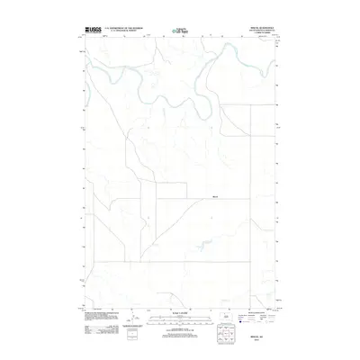 2012 Miscol2012 Print · USGSCovers Miscol, including Rock Creek District, Corson County, and other nearby areas
 - 2015 Map of Miscol, 2015 Print
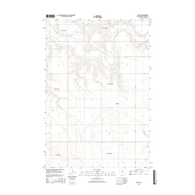 2015 Miscol2015 Print · USGSCovers Miscol, including Rock Creek District, Corson County, and other nearby areas
 - 2017 Map of Miscol, 2017 Print
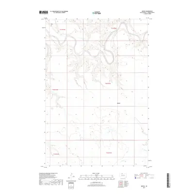 2017 Miscol2017 Print · USGSCovers Miscol, including Rock Creek District, Corson County, and other nearby areas
 - 2021 Map of Miscol, 2021 Print
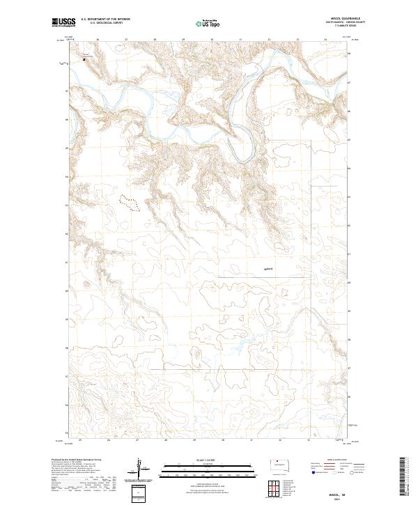 2021 Miscol2021 Print · USGSThe northern prairie and the winding path of the Grand River define this part of Corson County in 2021. Researchers can locate the Brown Church Cem in the northwest or trace the landscape around the settlement of Miscol and Plum Cr.
End of results
Showing maps 1-8 of 8
Top cities near Miscol
Frequently asked questions
- What are the different types of historical maps available for Miscol?
- What is the oldest map of Miscol?
- Where can I purchase historical maps of Miscol for my home or office?
- Where can I download high-res historical maps of Miscol?
- Are there historical topographic maps available for Miscol?
- Is there historical aerial imagery available for Miscol?
- Where are historical maps of Miscol sourced from?