Old Maps of Corson County, South Dakota
Explore 402 old maps of Corson County, spanning from 1953 to today. These high-resolution historic maps reveal how streets, neighborhoods, landmarks, and natural features evolved over time — perfect for genealogy, metal detecting, research, and local history exploration.
What you can do with these maps:
- See how Corson County changed over time: Compare historical maps to modern-day views to trace roads, homesites, rail lines & more.
- View detailed metadata: Each map includes creators, publishers, year, scale, and archive source.
- Overlay maps with satellite & LiDAR: Visualize the past alongside modern tools to explore terrain & human change.
- Trusted historical sources: Maps sourced from the USGS, Library of Congress, and other archives.
- Access maps your way: View online, download high-res files, or order prints for personal or research use.
Start exploring old maps of Corson County to uncover forgotten places, hidden landmarks, and the deep history beneath your feet.
Corson County, SD maps
(402)- 1953 Map of McIntosh, 1965 Print
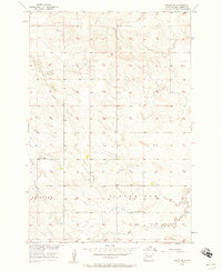
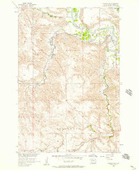
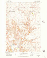
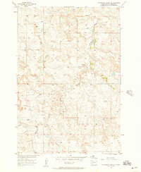
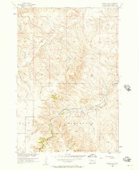
 1953 McIntosh1965 Print · USGSThe north-central Dakota prairie is captured here during the mid-fifties, showing the vast Standing Rock Indian Reservation and the newly formed Oah E Reservoir. Genealogists and historians can trace the Chicago Milwaukee St Paul and Pacific rail line through stops like McIntosh, Walker, and Eagle Butte.3 unique versions available
 - 1954 Map of Lemmon, 1964 Print
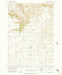
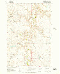
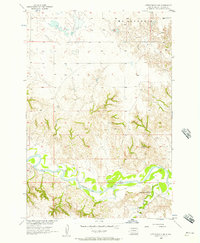
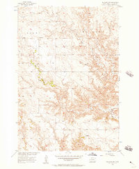
 1954 Lemmon1964 Print · USGSThe high plains of South Dakota and North Dakota are documented here during the mid-twentieth century. Family researchers can trace dozens of country school sites like Green Cabin School and Bierke School alongside landmarks like The Castles.2 unique versions available
 - 1956 Map of Miscol SW, 1957 Print
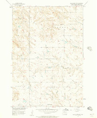
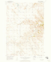
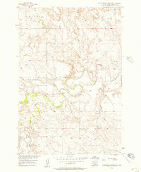
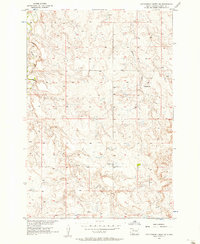
 1956 Miscol SW1957 Print · USGSMid-century Corson County is captured here during a period of Missouri River Basin development planning. Genealogists and local historians can locate early educational landmarks like Lone Tree Sch and Little Oak Sch along the banks of Bank Creek.3 unique versions available
 - 1956 Map of Little Eagle SW, 1957 Print
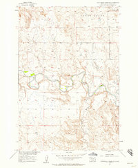
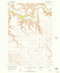
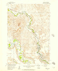
 1956 Little Eagle SW1957 Print · USGSCorson County ranchlands appear in the mid-1950s as the Missouri River Basin development program was underway. Researchers can locate family landmarks like the Good Shepherd Ch, the Meyer Sch, and the Spring Lake Sch (Abandoned).2 unique versions available
 - 1956 Map of Wakpala NW, 1957 Print
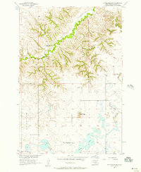
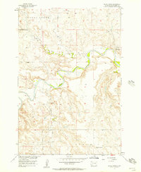
 1956 Wakpala NW1957 Print · USGSCorson County land along the Grand River is captured here in the mid-1950s during a period of Missouri River Basin development. Genealogists and local historians can locate Sacred Heart Cem, Long Hill Cem, and the path of the Chicago Milwaukee St Paul and Pacific railroad.2 unique versions available
 - 1956 Map of Little Eagle, 1957 Print
 1956 Little Eagle1957 Print · USGSIn the mid-1950s, the community of Little Eagle sat along the winding Grand River on the Standing Rock Reservation. Genealogists and historians can trace the town's social fabric through landmarks like St Pauls Ch and St Pauls Cem.2 unique versions available
 - 1956 Map of Wakpala SE, 1957 Print
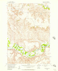
 1956 Wakpala SE1957 Print · USGSThe Grand River valley in Corson County is shown here during the mid-fifties, dominated by the sweeping high country and the river's winding path. Researchers can trace the route of the Chicago Milwaukee St Paul and Pacific railroad and the drainages of Snake Creek and Claymore Creek.2 unique versions available
 - 1956 Map of Little Eagle SE, 1957 Print
 1956 Little Eagle SE1957 Print · USGSCorson County prairie life in the mid-1950s is documented here through its rural school districts and winding waterways. Researchers can locate the Harding Sch (Abandoned), Reinbold Sch, and the landmark Runaround Butte.
 - 1956 Map of Black Horse NE, 1957 Print
 1956 Black Horse NE1957 Print · USGSThe Grand River valley in the mid-1950s shows a landscape of winding creeks and early rural development. Researchers can find family-history landmarks like Holy Spirit Ch, the Cem in Liberty, and natural features like the Hump.3 unique versions available
 - 1956 Map of Black Horse SW, 1957 Print
 1956 Black Horse SW1957 Print · USGSCorson County rural life in the mid-fifties is centered around the townships of Liberty and Cedar. Genealogists and historians can locate former rural educational hubs like Lightcap Sch and Pleasant View Sch, along with an early Strip Mine.2 unique versions available
 - 1956 Map of Cottonwood Creek NE, 1957 Print
 1956 Cottonwood Creek NE1957 Print · USGSThe Grand River breaks through the open prairie of Corson County during the mid-fifties, capturing a landscape of winding watercourses and high ridges. Genealogists and historians can trace the early river crossings at the Ford and the confluence of Lodge Creek.2 unique versions available
 - 1956 Map of Bullhead, 1957 Print
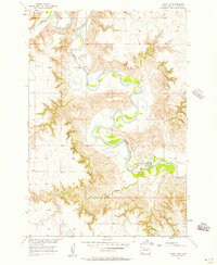
 1956 Bullhead1957 Print · USGSThe Standing Rock Reservation in the mid-1950s is centered here on the Bullhead settlement along the southern banks of the Grand River. Researchers can trace the complex drainage of Rock Creek and Stink Creek through this native prairie landscape.3 unique versions available
 - 1956 Map of Black Horse SE, 1957 Print
 1956 Black Horse SE1957 Print · USGSCorson County, South Dakota, in the mid-1950s shows a landscape of upland ridges and creek-fed valleys during the Missouri River Basin development era. Genealogists can locate rural schoolhouses such as Liberty Sch and Severns Sch alongside landmarks like Battle Dam.2 unique versions available
 - 1956 Map of Miscol SE, 1957 Print
 1956 Miscol SE1957 Print · USGSCorson County rural life in the mid-1950s reveals a landscape of upland ridges and quiet prairie streams. Genealogists and local historians can trace the foundations of the community at the Chapel Sch and Long Butte Sch along High Bank Creek.2 unique versions available
 - 1956 Map of Black Horse, 1957 Print
 1956 Black Horse1957 Print · USGSNorthern South Dakota's river country is captured here in the mid-fifties as the Missouri River Basin project progressed. Map enthusiasts and genealogists can trace the rural landscape around Black Horse and locate landmarks like the Pleasant View Sch and Clay Butte.2 unique versions available
 - 1956 Map of Cottonwood Creek SE, 1957 Print
 1956 Cottonwood Creek SE1957 Print · USGSCorson County, South Dakota, is captured here in the mid-1950s during a period of Missouri River Basin development. Researchers can locate the Kern Sch and trace the winding course of Cottonwood Creek through the open rangeland.2 unique versions available
 - 1956 Map of Little Eagle NW, 1957 Print
 1956 Little Eagle NW1957 Print · USGSThe Missouri River Basin in the mid-1950s was a landscape of remote river crossings and rural prairie parishes. Genealogists and historians can trace local landmarks like the Little Oak Creek Ch, the Ford crossing on the Grand River, and the settlement at Eagle.2 unique versions available
 - 1956 Map of Cottonwood Creek NW, 1957 Print
 1956 Cottonwood Creek NW1957 Print · USGSThe Grand River breaks through the Corson County plains during the mid-fifties, revealing a landscape of winding watercourses and open range. Researchers can trace the drainages of Cedar Creek, Meadow Creek, and Horse Black Butte Creek across the townships of Sherman and Riverside.2 unique versions available
 - 1956 Map of Miscol, 1957 Print
 1956 Miscol1957 Print · USGSThe Grand River cuts through the Corson County high plains in the mid-1950s, revealing a landscape of deep meanders and high plateaus. Researchers can locate the settlement of Miscol, identify the site of Brown Ch, and trace old river crossings like the Ford.2 unique versions available
 - 1956 Map of Wakpala SW, 1957 Print
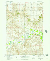
 1956 Wakpala SW1957 Print · USGSCorson County’s dissected landscape is captured here in the mid-fifties, showing the rugged breaks of the Missouri River Basin. Trace the path of the Chicago Milwaukee St Paul and Pacific railroad as it winds past Skull Peak and follows Snake Creek.2 unique versions available
 - 1956 Map of Bullhead SW, 1957 Print
 1956 Bullhead SW1957 Print · USGSCorson County's prairie landscape is captured in the mid-fifties, showing the intersection of Grant and Walker townships. Genealogists and local historians can locate the Grant Sch and trace the drainage of Iron Dog Creek and Stink Creek.2 unique versions available
 - 1956 Map of Cottonwood Creek SW, 1957 Print
 1956 Cottonwood Creek SW1957 Print · USGSCorson County, South Dakota, is captured here in the mid-1950s, showing the cattle-ranching and farming landscape of the plains. Genealogists and historians can locate rural landmarks like Gopher Sch, the Stop Mine, and the Homestead settlement.2 unique versions available
 - 1956 Map of Wakpala, 1957 Print
 1956 Wakpala1957 Print · USGSIn the mid-1950s, the railroad and river systems of northern South Dakota converged near Wakpala before the creation of the Oahe Reservoir. Genealogists and historians can trace community landmarks like the St Elizabeth Mission Home and St Bedes Cem along the winding Oak Creek.2 unique versions available
 - 1956 Map of Miscol NE, 1957 Print
 1956 Miscol NE1957 Print · USGSThe winding loops of the Grand River dominate this mid-century South Dakota landscape. Researchers can trace the path of Plum Creek or locate several seasonal river Ford crossings used throughout the Missouri River Basin.
 - 1957 Map of Lemmon
 1957 Lemmon1957 Print · USGSThe northwestern plains of South Dakota and North Dakota are captured here in the mid-fifties, centered on the rail hub of Lemmon. Genealogists and historians can trace dozens of rural schoolhouses and vanished sites like Imogene and the Shadehill Reservoir area.
Showing maps 1-25 of 402
Top cities of Corson County
Frequently asked questions
- What are the different types of historical maps available for Corson County?
- What is the oldest map of Corson County?
- Where can I purchase historical maps of Corson County for my home or office?
- Where can I download high-res historical maps of Corson County?
- Are there historical topographic maps available for Corson County?
- Is there historical aerial imagery available for Corson County?
- Where are historical maps of Corson County sourced from?