Old Maps of Dallas, South Dakota for Academic Research
Study the evolution of Dallas with 9 high-resolution historic maps. Whether you're teaching, researching, or modeling changes in land use, these maps provide essential visual documentation of urban, environmental, and geographic change.
- Analyze long-term change: Track patterns in development, transportation, and natural features.
- Ideal for environmental or urban studies: Support academic projects with primary historical map data.
- Use in the classroom or lab: Educators and researchers rely on these maps to bring historical context to life.
These maps are a powerful tool for teaching, research, and visualizing how Dallas has changed over the decades.
Dallas, SD maps
(9)- 1955 Map of Mitchell, 1973 Print
 1955 Mitchell1973 Print · USGSThe Missouri River valley undergoes a massive transformation in the mid-1950s as the Fort Randall Dam creates Lake Francis Case. You can trace the rail lines of the Chicago Milwaukee St Paul and Pacific through Mitchell or locate local landmarks like Butler Town Hall.2 unique versions available
 - 1959 Map of Mitchell
 1959 Mitchell1959 Print · USGSSouth Dakota’s river and rail corridors come alive in the late fifties as the Missouri River valley undergoes dramatic change. Genealogists and historians can trace family roots through numerous small towns and schools such as Academy, Stickney, and Gregory.2 unique versions available
 - 1964 Map of Dallas, 1965 Print
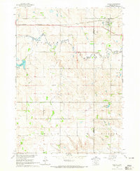 1964 Dallas1965 Print · USGSGregory County in the mid-1960s reveals a structured prairie landscape centered on the rail-side town of Dallas. Local historians and genealogists can trace the distribution of early rural education through sites like Melrose Sch, North Lincoln Sch, and Pleasant Valley Sch.
 - 1986 Map of Winner
 1986 Winner1986 Print · USGSTripp and Gregory Counties are captured in the mid-eighties as the agricultural heartland centered on the Chicago and North Western line. Genealogists can trace family footprints near St Charles, Paxton, and Winner, or explore the shoreline of Lake Francis Case.2 unique versions available
 - 1990 Map of Mitchell, 1991 Print
 1990 Mitchell1991 Print · USGSThe Missouri River and the surrounding South Dakota plains are captured here in the early nineties, showing a landscape shaped by water and wire. Genealogists and historians can trace the gridded townships from Mitchell to the Bijou Hills, locating sites like the Platte Colony and Academy.
 - 2012 Map of Dallas, 2012 Print
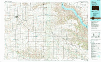
 2012 Dallas2012 Print · USGSCovers Dallas, including Bull Creek Segment, Tripp County, and other nearby areas
 - 2015 Map of Dallas, 2015 Print
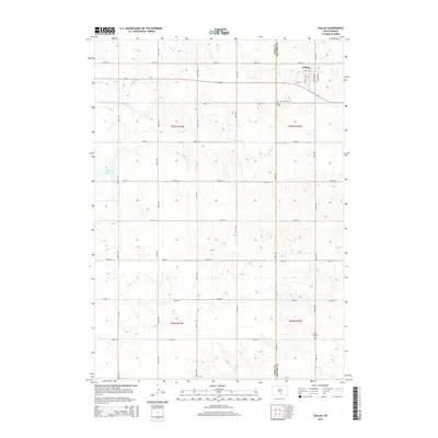 2015 Dallas2015 Print · USGSCovers Dallas, including Bull Creek Segment, Tripp County, and other nearby areas
 - 2017 Map of Dallas, 2017 Print
 2017 Dallas2017 Print · USGSCovers Dallas, including Bull Creek Segment, Tripp County, and other nearby areas
 - 2021 Map of Dallas, 2021 Print
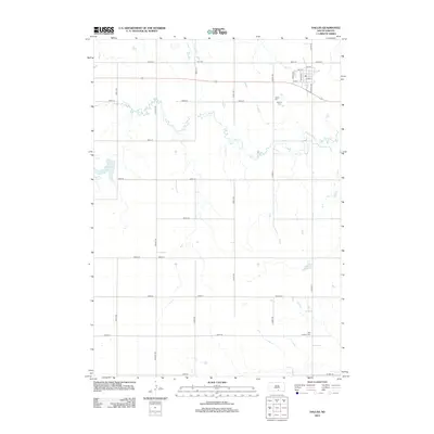
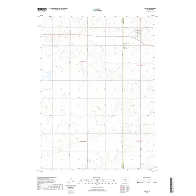
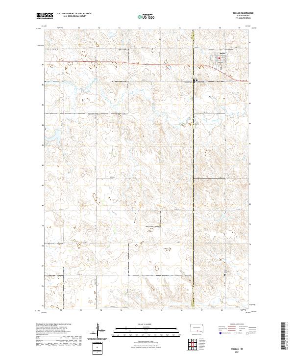 2021 Dallas2021 Print · USGSThe Gregory County plains around Dallas are mapped here at the start of the 2020s, showing a landscape of deep-rooted rural heritage. Researchers can locate family landmarks like Saint Augustine Catholic Cem, Hillview Cem, and the waters of Lake Dalton.
End of results
Showing maps 1-9 of 9
Top cities near Dallas
- Gregory historical maps
- Burke historical maps
- Colome historical maps
- Ideal Segment historical maps
- Dixon historical maps
- Carlock historical maps
Frequently asked questions
- What are the different types of historical maps available for Dallas?
- What is the oldest map of Dallas?
- Where can I purchase historical maps of Dallas for my home or office?
- Where can I download high-res historical maps of Dallas?
- Are there historical topographic maps available for Dallas?
- Is there historical aerial imagery available for Dallas?
- Where are historical maps of Dallas sourced from?