Old Maps of Powell, South Dakota for Academic Research
Study the evolution of Powell with 9 high-resolution historic maps. Whether you're teaching, researching, or modeling changes in land use, these maps provide essential visual documentation of urban, environmental, and geographic change.
- Analyze long-term change: Track patterns in development, transportation, and natural features.
- Ideal for environmental or urban studies: Support academic projects with primary historical map data.
- Use in the classroom or lab: Educators and researchers rely on these maps to bring historical context to life.
These maps are a powerful tool for teaching, research, and visualizing how Powell has changed over the decades.
Powell, SD maps
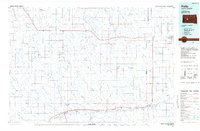
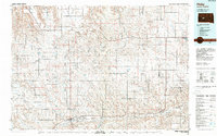
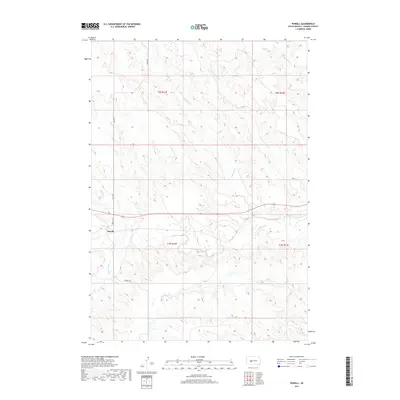
(9)- 1954 Map of Powell, 1956 Print
 1954 Powell1956 Print · USGSHaakon County ranching country and the river valley are captured here in the mid-fifties, just as the Missouri River Basin development was underway. Genealogists and historians can trace the Chicago and North Western rail line through Powell and locate the rural Cherry Sch.
 - 1954 Map of Pierre, 1968 Print
 1954 Pierre1968 Print · USGSThe Missouri River and the newly formed Oahe Reservoir define central South Dakota in the 1950s. Genealogists and local historians can trace early settlements and rail stops like Eakin Siding, Mission Ridge, and Ottumwa.2 unique versions available
 - 1958 Map of Pierre
 1958 Pierre1958 Print · USGSCentral South Dakota is documented during the mid-fifties, just as the Missouri River valley was being transformed by the massive Oahe Dam project. Researchers can trace the early Oahe Reservoir shoreline and find remote outposts like Milesville, Onida, and Giddings Flat.
 - 1983 Map of Philip, 1984 Print
 1983 Philip1984 Print · USGSCentral South Dakota’s plains in the early eighties are mapped here, showing the rural communities and ranching landscape of Haakon County. Genealogists and historians can trace the Chicago and North Western rail corridor and find small locales like Milesville, Elevenmile Corner, and Nowlin.
 - 1984 Map of Philip, 1989 Print
 1984 Philip1989 Print · USGSHaakon County in the mid-eighties remains a landscape of rail-side towns and expansive rangeland. Genealogists and historians can trace the Chicago and North Western line through Philip and Nowlin or locate remote sites like Elevenmile Corner and Grindstone Butte.
 - 2012 Map of Powell, 2012 Print
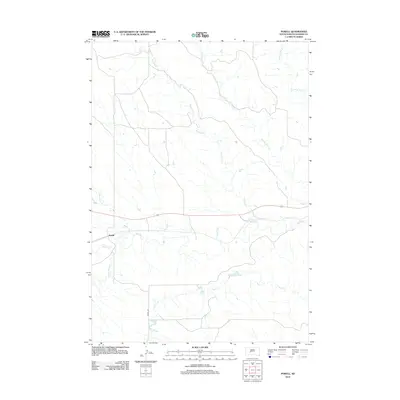 2012 Powell2012 Print · USGSCovers Powell, including Haakon County, United States, and other nearby areas
 - 2015 Map of Powell, 2015 Print
 2015 Powell2015 Print · USGSCovers Powell, including Haakon County, United States, and other nearby areas
 - 2017 Map of Powell, 2017 Print
 2017 Powell2017 Print · USGSCovers Powell, including Haakon County, United States, and other nearby areas
 - 2021 Map of Powell, 2021 Print
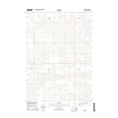
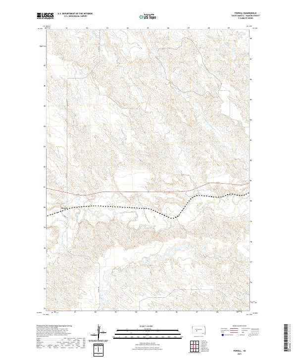 2021 Powell2021 Print · USGSThe rural landscape of Haakon County is centered on the small settlement of Powell during the early 2020s. Researchers can trace the winding course of the Bad River and its various tributaries, including Medicine Cr and Witcher Holes Cr.
End of results
Showing maps 1-9 of 9
Top cities near Powell
Frequently asked questions
- What are the different types of historical maps available for Powell?
- What is the oldest map of Powell?
- Where can I purchase historical maps of Powell for my home or office?
- Where can I download high-res historical maps of Powell?
- Are there historical topographic maps available for Powell?
- Is there historical aerial imagery available for Powell?
- Where are historical maps of Powell sourced from?