2020s Maps of Beulah Township, South Dakota
Explore 4 historic maps of Beulah Township from the 2020s. These maps offer a rare glimpse into what life looked like during the 2020s — showing old roads, neighborhoods, homes, and landmarks that have changed or disappeared over time.
Whether you're researching your family's past, planning a metal detecting trip, or studying how Beulah Township's landscape evolved across the 2020s, these high-resolution maps are a powerful tool for exploring the history of this region.
- Focus on a specific era: All maps on this page are from the 2020s, giving you a focused view of this time period.
- See what’s changed: Compare century-old streets, trails, and buildings to today's modern landscape using overlays and satellite layers.
- Research with precision: Use these maps for genealogy, historical research, land use analysis, or educational projects.
- View, download, or print: Maps are fully viewable online in high resolution, and can be downloaded or printed for your own records.
Start exploring Beulah Township's history through authentic maps from the 2020s. This is your window into the past.
Beulah Township, SD maps
(4)- 2021 Map of Clayton, 2021 Print
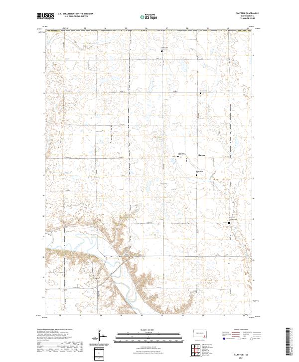 2021 Clayton2021 Print · USGSHutchinson County at the start of the 2020s remains a landscape of quiet prairie settlements and river bends. Genealogists can locate several local burial sites like Saint Peters Lutheran Cem and Rademacher Cem near the James River.
 - 2021 Map of Spencer SW, 2021 Print
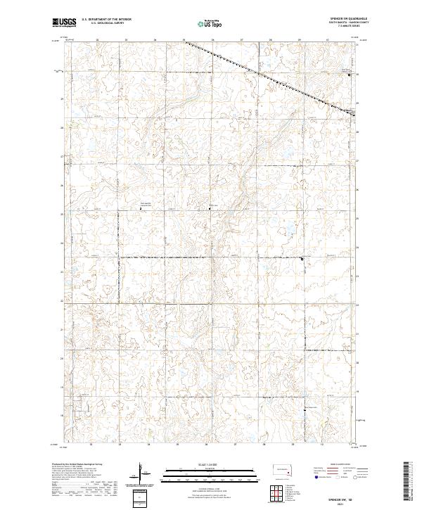 2021 Spencer SW2021 Print · USGSThis part of Hanson County shows a well-preserved prairie landscape as it appeared in the early twenty-first century. Researchers can trace rural lineages through local landmarks like Saint Martins Catholic Cem, New Hope Cem, and the town of Emery.
 - 2021 Map of Milltown, 2021 Print
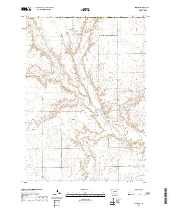 2021 Milltown2021 Print · USGSMilltown and the surrounding Hutchinson County prairie are captured here in the early twenty-first century as agricultural life continues along the James River. Researchers can locate the New Elm Springs Colony or trace the winding paths of Twelvemile Cr and Pony Cr.
 - 2021 Map of Rockport Colony, 2021 Print
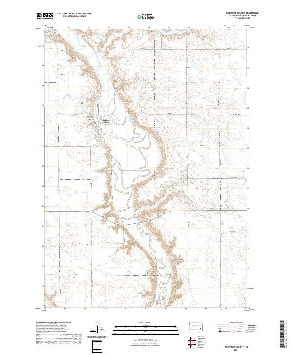 2021 Rockport Colony2021 Print · USGSHanson County in the early 2020s remains a landscape of communal heritage and river-bound agriculture. Genealogists and researchers can locate Rockport Colony, trace the winding James River, and identify burial sites like Friedhof Cem and Rockport Colony Cem.
End of results
Showing maps 1-4 of 4
Top cities near Beulah Township
- Mitchell historical maps
- Parkston historical maps
- Alexandria historical maps
- Emery historical maps
- Ethan historical maps
- Wolf Creek Hutterite Colony historical maps
See more
Top neighborhoods of Beulah Township
- Rockport Colony historical maps
- Oak Lane Hutterite Colony historical maps
- Rockport Hutterite Colony historical maps
Frequently asked questions
- What are the different types of historical maps available for Beulah Township?
- What is the oldest map of Beulah Township?
- Where can I purchase historical maps of Beulah Township for my home or office?
- Where can I download high-res historical maps of Beulah Township?
- Are there historical topographic maps available for Beulah Township?
- Is there historical aerial imagery available for Beulah Township?
- Where are historical maps of Beulah Township sourced from?