Old Maps of Ludlow, South Dakota
Explore 11 old maps of Ludlow, spanning from 1935 to today. These high-resolution historic maps reveal how streets, neighborhoods, landmarks, and natural features evolved over time — perfect for genealogy, metal detecting, research, and local history exploration.
What you can do with these maps:
- See how Ludlow changed over time: Compare historical maps to modern-day views to trace roads, homesites, rail lines & more.
- View detailed metadata: Each map includes creators, publishers, year, scale, and archive source.
- Overlay maps with satellite & LiDAR: Visualize the past alongside modern tools to explore terrain & human change.
- Trusted historical sources: Maps sourced from the USGS, Library of Congress, and other archives.
- Access maps your way: View online, download high-res files, or order prints for personal or research use.
Start exploring old maps of Ludlow to uncover forgotten places, hidden landmarks, and the deep history beneath your feet.
Ludlow, SD maps
(11)- 1935 Map of Reva
 1935 Reva1935 Print · USGSHarding County ranching country and the rugged Slim Buttes region are captured here in the mid-1930s. Genealogists and local historians can trace family-named landmarks like Turkey Track Ranch and early post offices at Reva, Ludlow, and Glenlevit.
 - 1954 Map of Lemmon, 1964 Print
 1954 Lemmon1964 Print · USGSThe high plains of South Dakota and North Dakota are documented here during the mid-twentieth century. Family researchers can trace dozens of country school sites like Green Cabin School and Bierke School alongside landmarks like The Castles.2 unique versions available
 - 1957 Map of Lemmon
 1957 Lemmon1957 Print · USGSThe northwestern plains of South Dakota and North Dakota are captured here in the mid-fifties, centered on the rail hub of Lemmon. Genealogists and historians can trace dozens of rural schoolhouses and vanished sites like Imogene and the Shadehill Reservoir area.
 - 1968 Map of Ludlow, 1971 Print
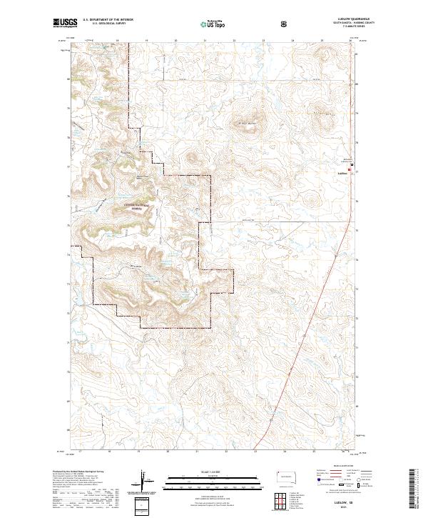
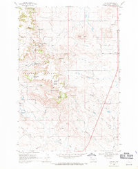 1968 Ludlow1971 Print · USGSHarding County ranching and forest lands are captured in the late sixties as the region balanced conservation and extraction. Genealogists and researchers can locate the Ludlow settlement, Ludlow Cave, and numerous family-named landmarks like Rileys Butte and Jenkins Spring No 1.
 - 1980 Map of Camp Crook
 1980 Camp Crook1980 Print · USGSNorthwestern South Dakota and the North Dakota borderlands come into focus in the late seventies, showing a landscape of high buttes and river breaks. Researchers can trace remote ranching outposts like Ralph and Ladner or locate landmarks like Window Rock and the Harding County Airport.
 - 1993 Map of Ludlow, 1996 Print
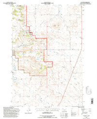 1993 Ludlow1996 Print · USGSHarding County ranching and forest lands are captured here during the 1990s as the regional landscape balanced conservation and resource use. Researchers can locate remote landmarks such as Ludlow Cave, the Rotten Burger Ranch, and numerous water sources like Picnic Spring.
 - 2005 Map of Ludlow, 2007 Print
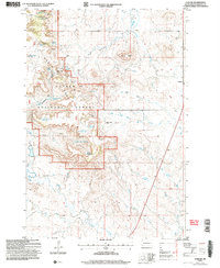 2005 Ludlow2007 Print · USGSHarding County ranching and forest lands are captured here in the early 2000s, centered on the Custer National Forest and the community of Ludlow. Researchers can trace old water rights and range improvements at Rotten Burger Ranch or locate the historic Ludlow Cave.
 - 2012 Map of Ludlow, 2012 Print
 2012 Ludlow2012 Print · USGSCovers Ludlow, including Harding County, United States, and other nearby areas
 - 2015 Map of Ludlow, 2015 Print
 2015 Ludlow2015 Print · USGSCovers Ludlow, including Harding County, United States, and other nearby areas
 - 2017 Map of Ludlow, 2017 Print
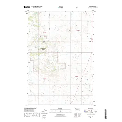 2017 Ludlow2017 Print · USGSCovers Ludlow, including Harding County, United States, and other nearby areas
 - 2021 Map of Ludlow, 2021 Print
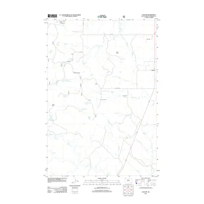
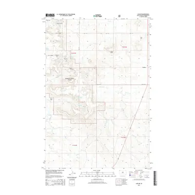
 2021 Ludlow2021 Print · USGSHarding County, South Dakota, is documented here in a modern survey that captures the high-plains ranching country near the Custer National Forest. Researchers can locate the Bethlehem Lutheran Cem, trace the drainage of Big Nasty Cr, and explore the terrain around Rileys Butte.
End of results
Showing maps 1-11 of 11
Frequently asked questions
- What are the different types of historical maps available for Ludlow?
- What is the oldest map of Ludlow?
- Where can I purchase historical maps of Ludlow for my home or office?
- Where can I download high-res historical maps of Ludlow?
- Are there historical topographic maps available for Ludlow?
- Is there historical aerial imagery available for Ludlow?
- Where are historical maps of Ludlow sourced from?