Old Maps of Alto, South Dakota for Genealogy
Trace your family roots with 10 historic maps of Alto. These high-res maps reveal old neighborhoods, homesites, landmarks, and streets — helping you uncover where your ancestors lived and how the area evolved over time.
- Explore historic neighborhoods: Identify where your relatives may have lived in the 1800s or 1900s.
- Compare maps over time: Trace the changes in streets, buildings, and landmarks for multi-generational research.
- Perfect for genealogy & ancestry research: Used by family historians and researchers to map out lineage and migration.
These maps are an incredible resource for exploring your personal connection to Alto's past.
Alto, SD maps
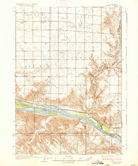
(10)- 1934 Map of Canning
 1934 Canning1934 Print · USGSCentral South Dakota comes to life in the mid-1930s as the Missouri River valley supports a network of ranches and small schools. Genealogists can trace family landmarks like Petrus Ranch or locate local centers including Elm Grove Sch and the Holy Name Chapel.
 - 1937 Map of Canning
 1937 Canning1937 Print · USGSHughes County ranching and river life are captured here in the mid-1930s as the Missouri River flowed freely past historic islands and rail sidings. Genealogists can locate family landmarks like Pietrus Ranch, Finder Ranch, and numerous country schools such as Pleasantview Sch.3 unique versions available
 - 1954 Map of Pierre, 1968 Print
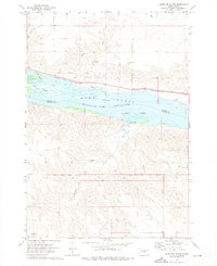
 1954 Pierre1968 Print · USGSThe Missouri River and the newly formed Oahe Reservoir define central South Dakota in the 1950s. Genealogists and local historians can trace early settlements and rail stops like Eakin Siding, Mission Ridge, and Ottumwa.2 unique versions available
 - 1958 Map of Pierre
 1958 Pierre1958 Print · USGSCentral South Dakota is documented during the mid-fifties, just as the Missouri River valley was being transformed by the massive Oahe Dam project. Researchers can trace the early Oahe Reservoir shoreline and find remote outposts like Milesville, Onida, and Giddings Flat.
 - 1973 Map of Antelope Island, 1976 Print
 1973 Antelope Island1976 Print · USGSThe Missouri River corridor south of Pierre is captured in the early 1970s as Lake Sharpe reshaped the landscape. Trace the Old Indian Treaty Boundary and the path of the Chicago and North Western rail line near Alto.
 - 1986 Map of Pierre
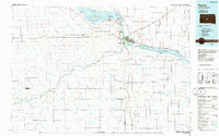 1986 Pierre1986 Print · USGSCentral South Dakota comes into focus during the mid-eighties as the Missouri River reservoirs reshape the landscape around the state capital. Genealogists and historians can trace rail stops along the Chicago and North Western and locate landmarks like the Old Indian Treaty Boundary and Medicine Knoll.2 unique versions available
 - 2012 Map of Antelope Island, 2012 Print
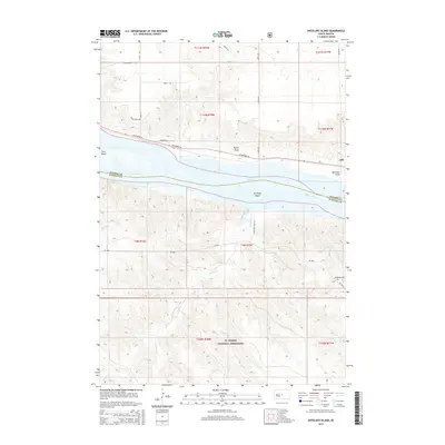
 2012 Antelope Island2012 Print · USGSCovers Alto, including Hughes County, Stanley County, and other nearby areas
 - 2015 Map of Antelope Island, 2015 Print
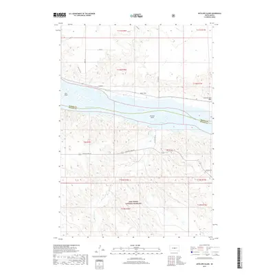
 2015 Antelope Island2015 Print · USGSCovers Alto, including Hughes County, Stanley County, and other nearby areas
 - 2017 Map of Antelope Island, 2017 Print
 2017 Antelope Island2017 Print · USGSCovers Alto, including Hughes County, Stanley County, and other nearby areas
 - 2021 Map of Antelope Island, 2021 Print
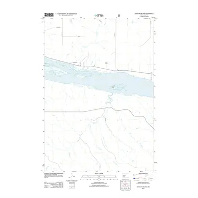
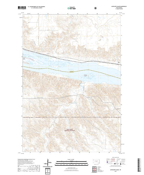 2021 Antelope Island2021 Print · USGSStanley and Hughes counties meet at the Missouri River in this recent survey of the South Dakota plains. Genealogists and historians can trace the borders of the Fort Pierre National Grassland and find local landmarks like Antelope Island and Alto.
End of results
Showing maps 1-10 of 10
Top cities near Alto
Frequently asked questions
- What are the different types of historical maps available for Alto?
- What is the oldest map of Alto?
- Where can I purchase historical maps of Alto for my home or office?
- Where can I download high-res historical maps of Alto?
- Are there historical topographic maps available for Alto?
- Is there historical aerial imagery available for Alto?
- Where are historical maps of Alto sourced from?