Old Maps of Hutchinson County, South Dakota
Explore 100 old maps of Hutchinson County, spanning from 1898 to today. These high-resolution historic maps reveal how streets, neighborhoods, landmarks, and natural features evolved over time — perfect for genealogy, metal detecting, research, and local history exploration.
What you can do with these maps:
- See how Hutchinson County changed over time: Compare historical maps to modern-day views to trace roads, homesites, rail lines & more.
- View detailed metadata: Each map includes creators, publishers, year, scale, and archive source.
- Overlay maps with satellite & LiDAR: Visualize the past alongside modern tools to explore terrain & human change.
- Trusted historical sources: Maps sourced from the USGS, Library of Congress, and other archives.
- Access maps your way: View online, download high-res files, or order prints for personal or research use.
Start exploring old maps of Hutchinson County to uncover forgotten places, hidden landmarks, and the deep history beneath your feet.
Hutchinson County, SD maps
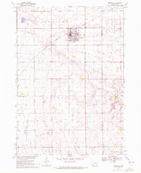
(100)- 1898 Map of Olivet
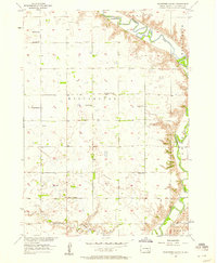
 1898 Olivet1898 Print · USGSHutchinson County at the close of the nineteenth century was a landscape of emerging rail towns and river valley farmsteads. Trace the early expansion of the Chicago Milwaukee and St Paul RR near Olivet and Scotland.4 unique versions available
 - 1898 Map of Parker
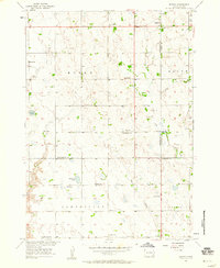
 1898 Parker1898 Print · USGSSoutheastern South Dakota in the late nineteenth century shows a landscape defined by the expansion of the Chicago and Northwestern railroad. Genealogists and local historians can trace early settlements and pioneer-era post offices like Idylwilde, Hurley, and the prominent rise of Turkey Ridge.4 unique versions available
 - 1955 Map of Sioux Falls, 1967 Print
 1955 Sioux Falls1967 Print · USGSThe eastern South Dakota and western Minnesota borderlands come alive in the mid-fifties, showing the vital rail-to-river connections of the era. Genealogists can trace family footprints across townships like Madison and Pipestone, while following the paths of the Big Sioux River and the Chicago and North Western line.3 unique versions available
 - 1955 Map of Mitchell, 1973 Print
 1955 Mitchell1973 Print · USGSThe Missouri River valley undergoes a massive transformation in the mid-1950s as the Fort Randall Dam creates Lake Francis Case. You can trace the rail lines of the Chicago Milwaukee St Paul and Pacific through Mitchell or locate local landmarks like Butler Town Hall.2 unique versions available
 - 1957 Map of Tschetter Colony, 1958 Print
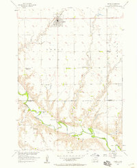
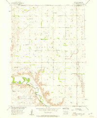
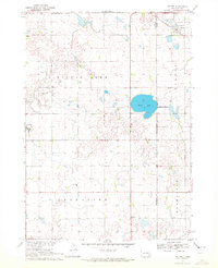
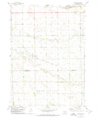
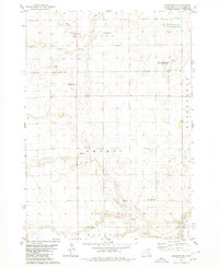
 1957 Tschetter Colony1958 Print · USGSHutchinson County agriculture and community life are well-documented in the late fifties as the prairie met the winding James River. Researchers can locate numerous rural landmarks like Tschetter Colony, St Johns Ch, and the Pleasant Hill Sch.
 - 1957 Map of Midway, 1958 Print
 1957 Midway1958 Print · USGSSoutheastern South Dakota in the late fifties is captured here as a landscape of section-line roads and prairie townships. Researchers can trace rural genealogy through numerous family-named landmarks and local institutions like Ulmer Cem, Bender Sch, and Bethlehem Ch.2 unique versions available
 - 1957 Map of Menno, 1958 Print
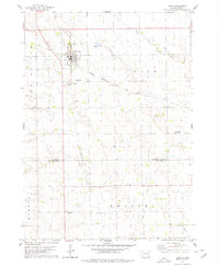
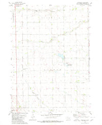
 1957 Menno1958 Print · USGSHutchinson County agriculture and river life are captured here in the mid-1950s as the regional rail network still anchored local trade. Researchers can locate numerous rural schools and churches, including Norway Sch, Ebenezer Ch, and the town of Menno.
 - 1957 Map of Milltown, 1958 Print
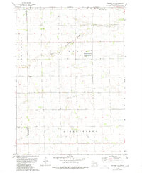
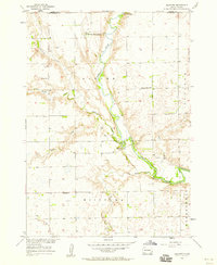 1957 Milltown1958 Print · USGSHutchinson and Hanson Counties during the late fifties reveal a landscape of river-bottom farms and communal colonies. Researchers can locate the New Elm Springs Colony, the Colony of Mercy Home for the Aged, and local landmarks like Milltown Cem.
 - 1957 Map of Clayton, 1958 Print
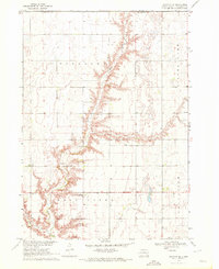
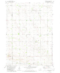
 1957 Clayton1958 Print · USGSHutchinson County prairie life in the late fifties is defined here by the winding James River and a distributed network of rural schoolhouses. Genealogists can trace family roots through sites like Rademacher Cem, Clayton Sch, and the Congregational Ch.2 unique versions available
 - 1957 Map of Wolf Creek, 1958 Print
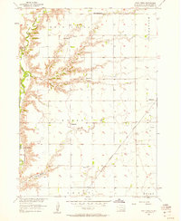 1957 Wolf Creek1958 Print · USGSHutchinson County prairie life in the late fifties centered on remote townships and the steam-and-diesel corridor of the Chicago Milwaukee St Paul and Pacific. Genealogists can trace family footprints at Walz Cem, Kassel Sch, and Zion Ch.
 - 1957 Map of Scotland, 1959 Print
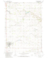
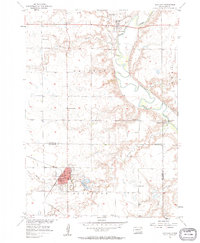 1957 Scotland1959 Print · USGSSoutheast South Dakota in the late fifties was a landscape of river-valley settlements and rural school districts. Genealogists and historians can trace the foundations of Scotland, locate Rose Hill Cem, and find vanished landmarks like Lakeview Sch or Maxwell Colony.2 unique versions available
 - 1958 Map of Sioux Falls
 1958 Sioux Falls1958 Print · USGSThe tri-state borderlands of South Dakota, Minnesota, and Iowa are captured here during the mid-century peak of the regional rail network. Genealogists and historians can trace local landmarks like Augustana Academy, the St Marys Cem, and the path of the Illinois Central through Rock Rapids.
 - 1959 Map of Mitchell
 1959 Mitchell1959 Print · USGSSouth Dakota’s river and rail corridors come alive in the late fifties as the Missouri River valley undergoes dramatic change. Genealogists and historians can trace family roots through numerous small towns and schools such as Academy, Stickney, and Gregory.2 unique versions available
 - 1970 Map of Clayton NE, 1972 Print
 1970 Clayton NE1972 Print · USGSHutchinson County agriculture and community life are well-documented in the early seventies, featuring the rolling prairie around Wolf Creek. Genealogists can trace local roots through landmarks like Stern Cem, New Hutterthal Ch, and the shores of Silver Lake.
 - 1970 Map of Freeman, 1972 Print
 1970 Freeman1972 Print · USGSHutchinson County agriculture and education are centered here in the early 1970s as the rail line still serves the prairie. Genealogists can trace family landmarks like Knodel Cem, Brookside Sch, and the campus of Freeman Jr College.
 - 1970 Map of Dolton, 1972 Print
 1970 Dolton1972 Print · USGSSoutheast South Dakota's prairie landscape is documented here in the early seventies at the intersection of three counties. Genealogists and local historians can locate specific family landmarks such as Tschetter Cem and Hutterthal Ch near the waters of Silver Lake.
 - 1977 Map of Oak Hollow
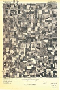 1977 Oak Hollow1977 Print · USGSHutchinson County farmland is captured in sharp aerial detail during the late seventies, showing the precise layout of local agriculture. Genealogists and historians can locate specific farmsteads and water features like Tripp Lake and the drainage of Oak Hollow.
 - 1978 Map of Oak Hollow, 1979 Print
 1978 Oak Hollow1979 Print · USGSHutchinson and Douglas counties meet along the Yankton Indian Reservation line in the late seventies. Family historians can locate rural landmarks like Oak Hollow Cem, Zion Cem, and the local Townhall near Tripp Lake.
 - 1978 Map of Kaylor, 1979 Print
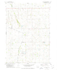
 1978 Kaylor1979 Print · USGSThe rural landscape around the settlement of Kaylor in the late 1970s is defined by its rail-linked economy and creek-fed pastures. Genealogists and researchers can trace the locations of Dennewitz Cem and St Johns Cem near the Chicago Milwaukee St Paul and Pacific line.
 - 1978 Map of Tripp, 1979 Print
 1978 Tripp1979 Print · USGSHutchinson and Bon Homme Counties are captured here in the late seventies, centered on the rail-side town of Tripp. Genealogists can trace a remarkable number of family burial sites, including Hoffnungstal Cem, Zion Cem, and Holy Rosary Cem.
 - 1979 Map of Delmont NE, 1980 Print
 1979 Delmont NE1980 Print · USGSHutchinson County during the late 1970s reveals a quiet landscape of prairie townships and conserved wetlands. Genealogists and historians can trace family roots near Miller Cem or explore the drainage of Twelvemile Creek and the Starr National Waterfowl Production Area.
 - 1979 Map of Delmont SE, 1980 Print
 1979 Delmont SE1980 Print · USGSThe prairie of Hutchinson and Douglas counties is captured in the late seventies as a landscape of structured farmsteads and quiet townships. Researchers can trace family history at Hoffnungsberg Cem or follow the path of the Old Railroad Grade near Townhall.
 - 1980 Map of Parkston SE
 1980 Parkston SE1980 Print · USGSHutchinson County is captured here in the 1980s, showcasing a rural landscape defined by township boundaries and prairie sloughs. Genealogists can locate family-linked sites like Kulm Cem, Kulm Sch, and Hoffnungstahl Cem.
 - 1980 Map of Beardsley
 1980 Beardsley1980 Print · USGSHutchinson County during the mid-seventies shows a classic South Dakota prairie landscape of railroads and township cemeteries. Genealogists can locate family-named sites like Pietz Cem and Bethel Cem or trace the Chicago Milwaukee St Paul and Pacific rail line.
 - 1980 Map of Parkston
 1980 Parkston1980 Print · USGSHutchinson County agriculture and transport thrived in the 1970s as the rail line connected the grain-growing heartland. Researchers can locate family roots at SS Peter & Paul Cem, trace the waters of Lake Dimock, or follow the Chicago Milwaukee St Paul and Pacific tracks.
Showing maps 1-25 of 100
Top cities of Hutchinson County
Frequently asked questions
- What are the different types of historical maps available for Hutchinson County?
- What is the oldest map of Hutchinson County?
- Where can I purchase historical maps of Hutchinson County for my home or office?
- Where can I download high-res historical maps of Hutchinson County?
- Are there historical topographic maps available for Hutchinson County?
- Is there historical aerial imagery available for Hutchinson County?
- Where are historical maps of Hutchinson County sourced from?