Old Maps of Kadoka, South Dakota for Academic Research
Study the evolution of Kadoka with 13 high-resolution historic maps. Whether you're teaching, researching, or modeling changes in land use, these maps provide essential visual documentation of urban, environmental, and geographic change.
- Analyze long-term change: Track patterns in development, transportation, and natural features.
- Ideal for environmental or urban studies: Support academic projects with primary historical map data.
- Use in the classroom or lab: Educators and researchers rely on these maps to bring historical context to life.
These maps are a powerful tool for teaching, research, and visualizing how Kadoka has changed over the decades.
Kadoka, SD maps
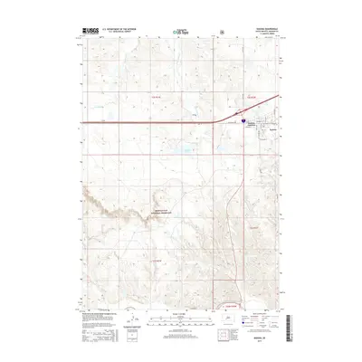
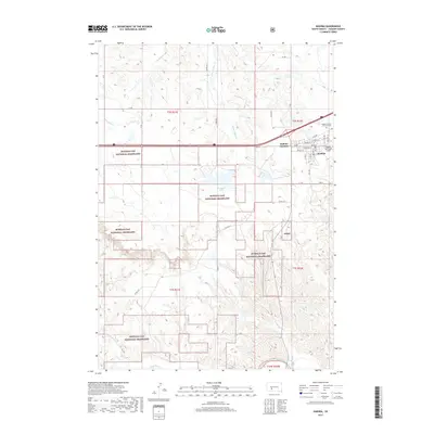
(13)- 1951 Map of Kadoka, 1952 Print
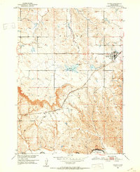 1951 Kadoka1952 Print · USGSKadoka stood as a vital prairie crossroads in the early fifties, where the railroad and regional highways met the edge of the reservation. Genealogists can trace family landmarks like Franklin Sch, the local Cem, and the tracks of the Chicago Milwaukee St Paul and Pacific.2 unique versions available
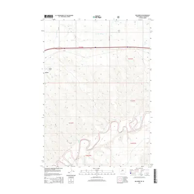
 - 1951 Map of Belvidere SW, 1952 Print
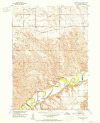 1951 Belvidere SW1952 Print · USGSThe White River country of Jackson and Washabaugh Counties is shown here in the early fifties, where the White River meets the Pine Ridge Indian Reservation. Researchers can trace old family holdings like Word Ranch and rural landmarks such as Flat Top Sch and the Landing Field.2 unique versions available
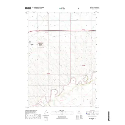
 - 1955 Map of Martin, 1968 Print
 1955 Martin1968 Print · USGSTribal lands and rail corridors define the South Dakota plains in the mid-fifties, from the sand hills to the badlands. Genealogists and historians can trace the early layout of Pine Ridge Indian Reservation settlements and find small rail towns like Stamford and Witten.2 unique versions available
 - 1958 Map of Martin
 1958 Martin1958 Print · USGSSouth Dakota's southern plains are documented here in the late fifties, showing the expansive Pine Ridge and Rosebud Indian Reservations. Genealogists and historians can locate early settlements along the Chicago Milwaukee St Paul and Pacific line or find family roots near Martin and the Indian Cemetery.
 - 1980 Map of Kadoka
 1980 Kadoka1980 Print · USGSWestern South Dakota's open plains and Badlands are captured here in the early eighties, showcasing a region defined by its railroads and reservations. Researchers can trace the routes of the Chicago and North Western or locate local landmarks like Kadoka Lake and Wanblee.
 - 2012 Map of Belvidere SW, 2012 Print
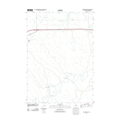 2012 Belvidere SW2012 Print · USGSCovers Kadoka, including Wanblee, Jackson County, and other nearby areas
 - 2012 Map of Kadoka, 2012 Print
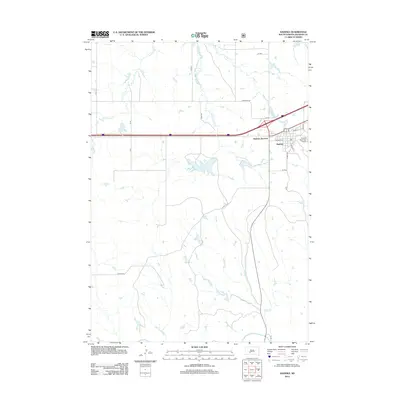 2012 Kadoka2012 Print · USGSCovers Kadoka, including Kadoka Junction, Wanblee, and other nearby areas
 - 2015 Map of Kadoka, 2015 Print
 2015 Kadoka2015 Print · USGSCovers Kadoka, including Kadoka Junction, Wanblee, and other nearby areas
 - 2015 Map of Belvidere SW, 2015 Print
 2015 Belvidere SW2015 Print · USGSCovers Kadoka, including Wanblee, Jackson County, and other nearby areas
 - 2017 Map of Belvidere SW, 2017 Print
 2017 Belvidere SW2017 Print · USGSCovers Kadoka, including Wanblee, Jackson County, and other nearby areas
 - 2017 Map of Kadoka, 2017 Print
 2017 Kadoka2017 Print · USGSCovers Kadoka, including Kadoka Junction, Wanblee, and other nearby areas
 - 2021 Map of Kadoka, 2021 Print
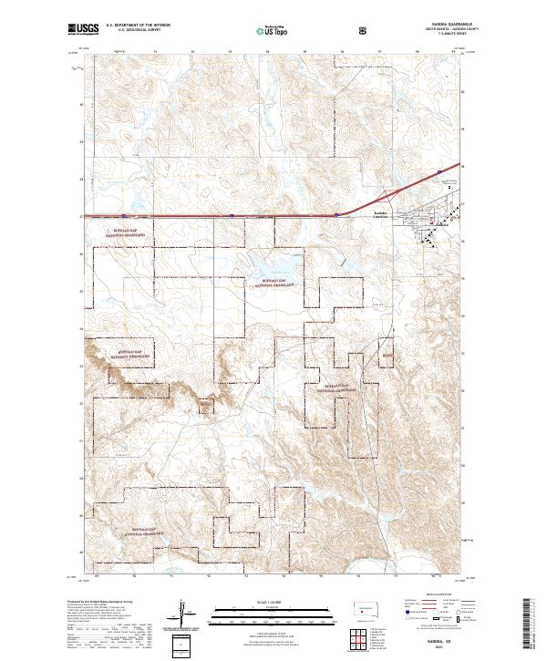 2021 Kadoka2021 Print · USGSThe high plains of Jackson County are captured in this recent survey of the gateway to the Badlands. Genealogists and local historians can locate the Jackson County Courthouse, Kadoka Lake, and the Kadoka Calvary - Fairview Cemetery.
 - 2021 Map of Belvidere SW, 2021 Print
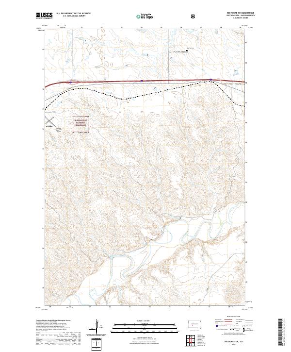 2021 Belvidere SW2021 Print · USGSThe western South Dakota plains and the winding White River define this Jackson County landscape as it appeared in recent years. Genealogists and local historians can locate Flat Top Cem and trace the geography of the Buffalo Gap National Grassland near Kadoka.
End of results
Showing maps 1-13 of 13
Top cities near Kadoka
Top neighborhoods of Kadoka
Frequently asked questions
- What are the different types of historical maps available for Kadoka?
- What is the oldest map of Kadoka?
- Where can I purchase historical maps of Kadoka for my home or office?
- Where can I download high-res historical maps of Kadoka?
- Are there historical topographic maps available for Kadoka?
- Is there historical aerial imagery available for Kadoka?
- Where are historical maps of Kadoka sourced from?