Old Maps of Pleasant Township, South Dakota
Explore 13 old maps of Pleasant Township, spanning from 1953 to today. These high-resolution historic maps reveal how streets, neighborhoods, landmarks, and natural features evolved over time — perfect for genealogy, metal detecting, research, and local history exploration.
What you can do with these maps:
- See how Pleasant Township changed over time: Compare historical maps to modern-day views to trace roads, homesites, rail lines & more.
- View detailed metadata: Each map includes creators, publishers, year, scale, and archive source.
- Overlay maps with satellite & LiDAR: Visualize the past alongside modern tools to explore terrain & human change.
- Trusted historical sources: Maps sourced from the USGS, Library of Congress, and other archives.
- Access maps your way: View online, download high-res files, or order prints for personal or research use.
Start exploring old maps of Pleasant Township to uncover forgotten places, hidden landmarks, and the deep history beneath your feet.
Pleasant Township, SD maps
(13)- 1953 Map of Huron, 1959 Print
 1953 Huron1959 Print · USGSCentral South Dakota comes alive in the mid-1950s as a thriving rail and agricultural corridor between the Missouri and James Rivers. Trace the legacy of family farms and prairie towns like Huron, Faulkton, and Wessington Springs along the historic Chicago and North Western rail lines.3 unique versions available
 - 1954 Map of Huron, 1977 Print
 1954 Huron1977 Print · USGSCentral South Dakota was a landscape of grain elevators and river bends during the mid-fifties. Genealogists and historians can trace the development of the James River valley through railroad towns like Redfield and the sprawling Crow Creek Indian Reservation.
 - 1973 Map of Wessington Springs SW, 1976 Print
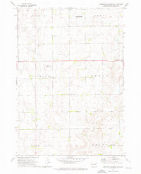 1973 Wessington Springs SW1976 Print · USGSJerauld County's rural townships are captured in the mid-seventies, showing the intersection of agricultural life and local conservation. Researchers can locate country schools like Schubert Sch, the historic Templeton Ch, and Hope Cem along the winding Smith Creek.
 - 1973 Map of Gannvalley SE, 1976 Print
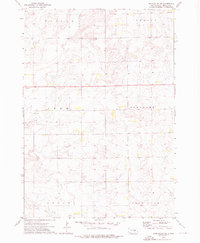 1973 Gannvalley SE1976 Print · USGSJerauld County's agricultural heartland is documented here in the early seventies during a period of established prairie farming. Genealogists and local historians can pinpoint Harmony Ch and trace the boundaries of the Pleasant and Logan townships.
 - 1985 Map of Huron, 1986 Print
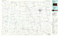 1985 Huron1986 Print · USGSThe James River valley and the city of Huron come into focus during the mid-eighties as centers of rail and prairie commerce. Genealogists and historians can trace communal sites like Riverside Colony and established rail towns from Wolsey to Woonsocket.2 unique versions available
 - 2012 Map of Gannvalley SE, 2012 Print
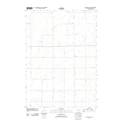 2012 Gannvalley SE2012 Print · USGSCrow Lake Township in the early twenty-first century is captured here in a period of quiet agricultural continuity. Genealogists and local historians can trace the exact section-line boundaries along 366th Ave, 371st Ave, and 233rd St.
 - 2012 Map of Wessington Springs SW, 2012 Print
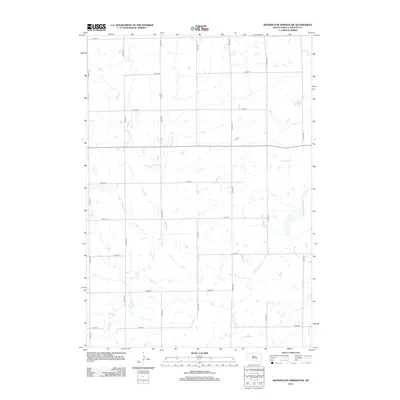 2012 Wessington Springs SW2012 Print · USGSCrow Lake Township is captured here in the early twenty-first century, showing the enduring agricultural grid of Jerauld County. Genealogists and local historians can locate Hope Cem and trace the paths of Smith Cr across the section lines.
 - 2015 Map of Gannvalley SE, 2015 Print
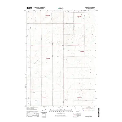 2015 Gannvalley SE2015 Print · USGSThe rural prairie of Jerauld County is captured here in the mid-2010s, showing a landscape defined by its rigid section-line road grid. Researchers can trace the geometric layout of local land tracts between 225th St, 371st Ave, and 233rd St.
 - 2015 Map of Wessington Springs SW, 2015 Print
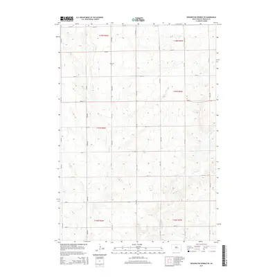 2015 Wessington Springs SW2015 Print · USGSThe open prairie of Jerauld County in the mid-2010s shows a landscape of precision-grid section roads and wandering creek beds. Family historians and local researchers can trace the location of Hope Cem and follow the seasonal drainage of Smith Cr and the E Fork Smith Cr.
 - 2017 Map of Gannvalley SE, 2017 Print
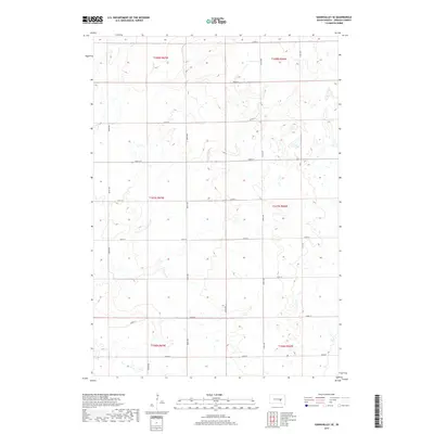 2017 Gannvalley SE2017 Print · USGSJerauld County's rural landscape is captured here in the late twenty-tens, showing the precise grid of section-line roads. Trace the intersection of 225th St and 371st Ave to see how the land is divided across T107N R66W and neighboring townships.
 - 2017 Map of Wessington Springs SW, 2017 Print
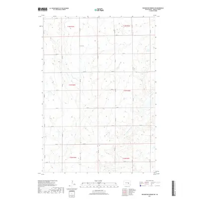 2017 Wessington Springs SW2017 Print · USGSJerauld County's rural prairie landscape is captured here in the late twenty-tens, defined by its traditional township grid and winding waterways. Researchers can locate Hope Cem and trace the drainage patterns of Smith Creek and E Fork Smith Creek.
 - 2021 Map of Wessington Springs SW, 2021 Print
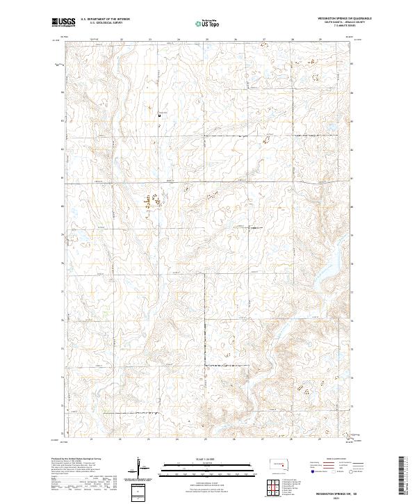 2021 Wessington Springs SW2021 Print · USGSJerauld County's agricultural prairie is documented here in the early twenty-first century, showing the enduring grid of section roads and watercourses. Researchers can locate Hope Cem and trace the headwaters of Smith Cr and the East Fork Smith Creek.
 - 2021 Map of Gannvalley SE, 2021 Print
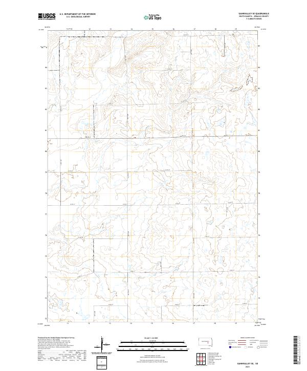 2021 Gannvalley SE2021 Print · USGSThe rural prairie of Jerauld County is captured here in the early twenty-first century, showing the enduring grid of the Public Land Survey System. Researchers can trace the layout of section roads like 225th St and 366th Ave through townships T107N R67W and T108N R66W.
End of results
Showing maps 1-13 of 13
Top cities near Pleasant Township
Frequently asked questions
- What are the different types of historical maps available for Pleasant Township?
- What is the oldest map of Pleasant Township?
- Where can I purchase historical maps of Pleasant Township for my home or office?
- Where can I download high-res historical maps of Pleasant Township?
- Are there historical topographic maps available for Pleasant Township?
- Is there historical aerial imagery available for Pleasant Township?
- Where are historical maps of Pleasant Township sourced from?