Old Maps of Le Sueur Township, South Dakota for Hiking & Exploration
Hike through history with 25 historic maps of Le Sueur Township. Explore old trails, ghost towns, and forgotten backroads — perfect for outdoor adventurers and local explorers.
- Rediscover forgotten places: Map out old mining camps, roads, and footpaths that no longer exist on modern maps.
- Layer with modern tools: Combine with LiDAR or satellite views to plan hikes through historical terrain.
- Made for exploration: Popular among hikers, overlanders, and local history lovers.
Use these maps to find adventure and explore the hidden past of Le Sueur Township.
Le Sueur Township, SD maps
(25)- 1899 Map of De Smet
 1899 De Smet1899 Print · USGSEastern South Dakota in the 1890s appears as a landscape of rapid rail expansion and nascent prairie towns. You can trace early settlement patterns and transport hubs like De Smet, Carthage, and Iroquois along the Chicago and Northwestern R. R.2 unique versions available
 - 1953 Map of Watertown, 1968 Print
 1953 Watertown1968 Print · USGSEastern South Dakota and the Minnesota borderlands are captured here during the mid-twentieth century as the region's agricultural and rail-service centers thrived. Genealogists and local historians can trace family-named sites across the Coteau des Prairies and find landmarks in Watertown, De Smet, and Brookings.3 unique versions available
 - 1958 Map of Watertown
 1958 Watertown1958 Print · USGSThe eastern South Dakota prairie and the Minnesota borderlands are captured here in the late fifties, showcasing a landscape of terminal moraine lakes and burgeoning rail hubs. Genealogists and historians can trace the early paths of the Chicago and North Western railroad or locate family roots in Watertown, Clark, or the Sisseton Indian Reservation.2 unique versions available
 - 1971 Map of Bancroft East, 1973 Print
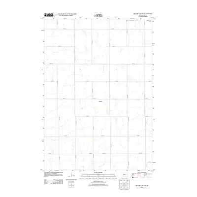
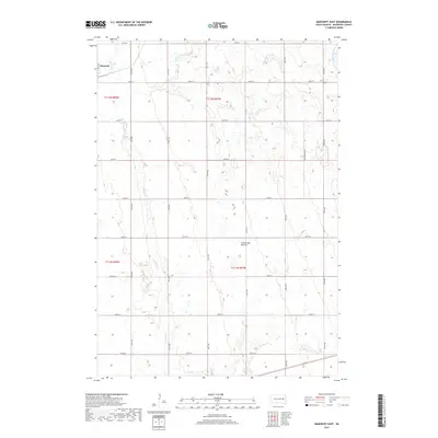
 1971 Bancroft East1973 Print · USGSKingsbury County agriculture and transit meet in the early seventies as the grain-hauling era reaches its peak. Genealogists and rail historians can trace the Burlington Northern near Bancroft or locate the shoreline of Spirit Lake.
 - 1971 Map of Bancroft West, 1973 Print
 1971 Bancroft West1973 Print · USGSThe agricultural plains of Kingsbury and Beadle counties are captured here in the early 1970s, as the railroad still connected these rural townships. Researchers can trace land details near Bancroft and Osceola, or locate landmarks like the Cem and Osceola Lake.
 - 1973 Map of Carpenter SE, 1978 Print
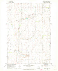
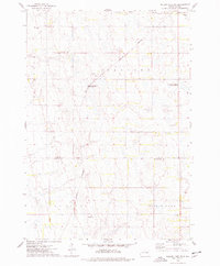
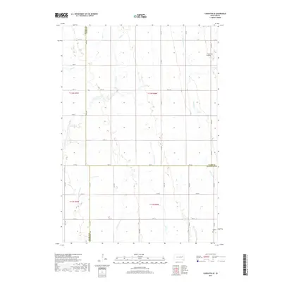
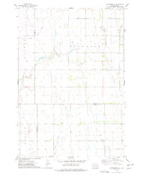 1973 Carpenter SE1978 Print · USGSThe rural prairie landscape at the junction of Beadle, Clark, and Kingsbury Counties is captured here in the early seventies. Genealogists and local historians can trace the boundaries of Rosedale and Le Sueur townships or locate the Le Sueur Cem.
 - 1973 Map of Willow Lake SW, 1978 Print
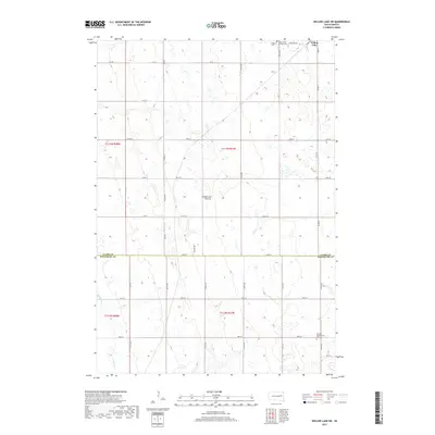
 1973 Willow Lake SW1978 Print · USGSThe eastern Dakotas are captured here in the early 1970s, showcasing a landscape of prairie wetlands and railroad-connected townships. Genealogists can trace family roots through sites like Collins Cem or Spirit Lake Ch Cem and the nearby Townhall.
 - 1985 Map of Watertown
 1985 Watertown1985 Print · USGSEastern South Dakota in the mid-eighties remains a landscape of expansive prairie wetlands and agricultural rail towns. Genealogists and local historians can trace the routes of the CHICAGO AND NORTH WESTERN railroad through Garden City, Vienna, and Watertown.2 unique versions available
 - 1985 Map of De Smet, 1986 Print
 1985 De Smet1986 Print · USGSEastern South Dakota in the mid-eighties shows a landscape of prairie rail towns and sprawling glacial lakes. Researchers can trace the routes of the Chicago and North Western through De Smet or locate communal sites like Pearl Creek Colony and Cloverleaf Colony.3 unique versions available
 - 2012 Map of Carpenter SE, 2012 Print
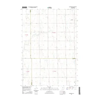
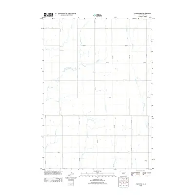 2012 Carpenter SE2012 Print · USGSCovers Le Sueur Township, including Beadle County, Kingsbury County, and other nearby areas
 - 2012 Map of Willow Lake SW, 2012 Print
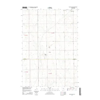
 2012 Willow Lake SW2012 Print · USGSCovers Le Sueur Township, including Willow Lake, Melham, and other nearby areas
 - 2012 Map of Bancroft West, 2012 Print
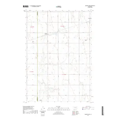
 2012 Bancroft West2012 Print · USGSCovers Le Sueur Township, including Bancroft, Manchester Township, and other nearby areas
 - 2012 Map of Bancroft East, 2012 Print
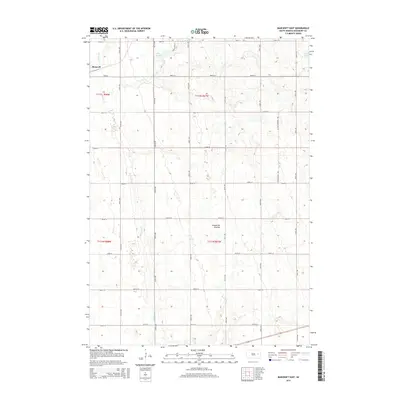
 2012 Bancroft East2012 Print · USGSCovers Le Sueur Township, including Bancroft, Manchester Township, and other nearby areas
 - 2015 Map of Bancroft West, 2015 Print
 2015 Bancroft West2015 Print · USGSCovers Le Sueur Township, including Bancroft, Manchester Township, and other nearby areas
 - 2015 Map of Carpenter SE, 2015 Print
 2015 Carpenter SE2015 Print · USGSCovers Le Sueur Township, including Beadle County, Kingsbury County, and other nearby areas
 - 2015 Map of Willow Lake SW, 2015 Print
 2015 Willow Lake SW2015 Print · USGSCovers Le Sueur Township, including Willow Lake, Melham, and other nearby areas
 - 2015 Map of Bancroft East, 2015 Print
 2015 Bancroft East2015 Print · USGSCovers Le Sueur Township, including Bancroft, Manchester Township, and other nearby areas
 - 2017 Map of Bancroft West, 2017 Print
 2017 Bancroft West2017 Print · USGSCovers Le Sueur Township, including Bancroft, Manchester Township, and other nearby areas
 - 2017 Map of Carpenter SE, 2017 Print
 2017 Carpenter SE2017 Print · USGSCovers Le Sueur Township, including Beadle County, Kingsbury County, and other nearby areas
 - 2017 Map of Bancroft East, 2017 Print
 2017 Bancroft East2017 Print · USGSCovers Le Sueur Township, including Bancroft, Manchester Township, and other nearby areas
 - 2017 Map of Willow Lake SW, 2017 Print
 2017 Willow Lake SW2017 Print · USGSCovers Le Sueur Township, including Willow Lake, Melham, and other nearby areas
 - 2021 Map of Carpenter SE, 2021 Print
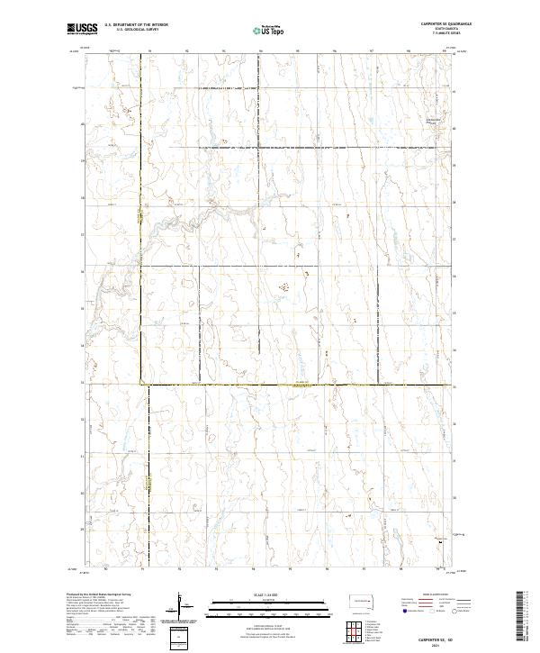 2021 Carpenter SE2021 Print · USGSEastern South Dakota's agricultural heartland is documented here in the early twenty-first century, where Beadle, Clark, and Kingsbury counties converge. Genealogists can locate LeSueur Cem and trace the drainage of Pearl Cr and Redstone Cr.
 - 2021 Map of Bancroft West, 2021 Print
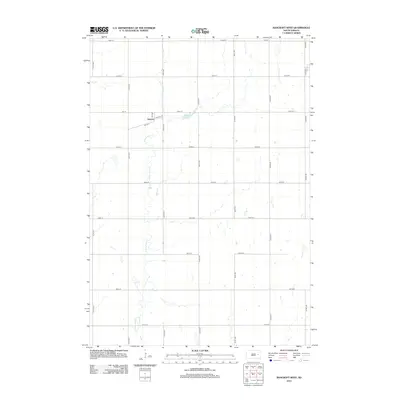
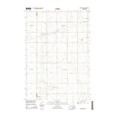
 2021 Bancroft West2021 Print · USGSKingsbury County agriculture and small-town life are documented here as they appeared in the early 2020s. Genealogists and local historians can trace the rural grid from the Faith Mennonite Cem to settlements like Osceola and Bancroft.
 - 2021 Map of Bancroft East, 2021 Print
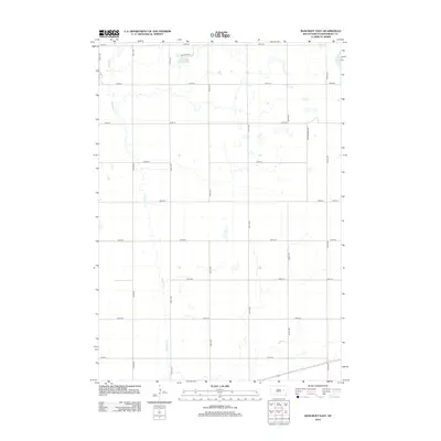
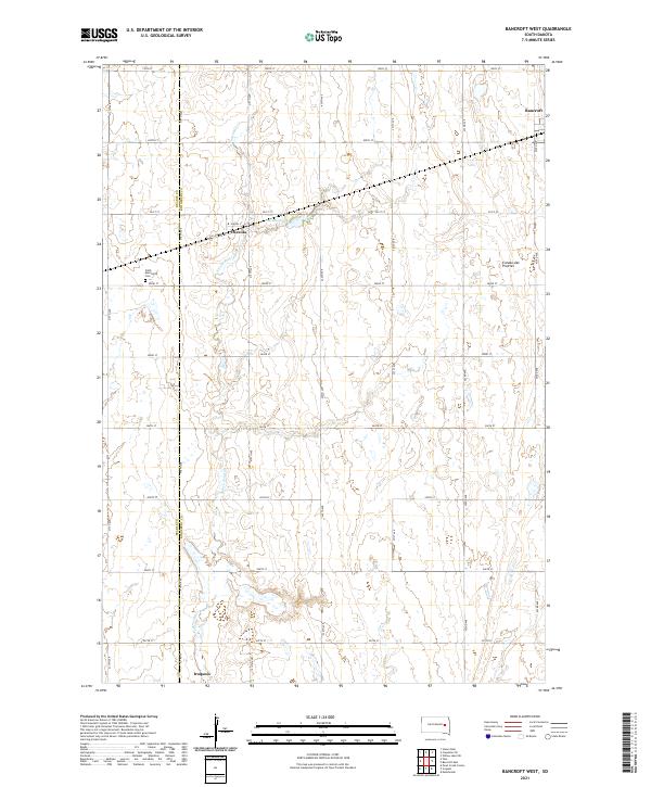
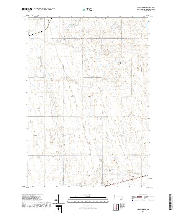 2021 Bancroft East2021 Print · USGSKingsbury County’s prairie highlands are documented in this recent survey of the Coteau region near the town of Bancroft. Researchers can trace the section-line roads and drainage of Redstone Cr or locate family sites near Lake Agnew and Cottonwood Ave.
 - 2021 Map of Willow Lake SW, 2021 Print
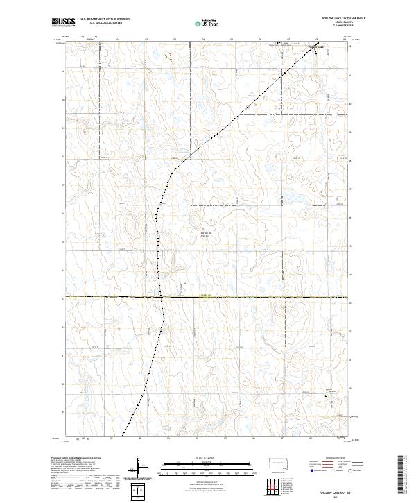 2021 Willow Lake SW2021 Print · USGSThe prairie pothole region of the South Dakota plains is captured here in the early twenty-first century. Genealogists can trace family roots at St. James Catholic Cem and German Presbyterian Cem near the town of Willow Lake.
End of results
Showing maps 1-25 of 25
Top cities near Le Sueur Township
- De Smet historical maps
- Willow Lake historical maps
- Iroquois historical maps
- Yale historical maps
- Bancroft historical maps
Top neighborhoods of Le Sueur Township
Frequently asked questions
- What are the different types of historical maps available for Le Sueur Township?
- What is the oldest map of Le Sueur Township?
- Where can I purchase historical maps of Le Sueur Township for my home or office?
- Where can I download high-res historical maps of Le Sueur Township?
- Are there historical topographic maps available for Le Sueur Township?
- Is there historical aerial imagery available for Le Sueur Township?
- Where are historical maps of Le Sueur Township sourced from?