Old Maps of Kingsbury County, South Dakota
Explore 125 old maps of Kingsbury County, spanning from 1899 to today. These high-resolution historic maps reveal how streets, neighborhoods, landmarks, and natural features evolved over time — perfect for genealogy, metal detecting, research, and local history exploration.
What you can do with these maps:
- See how Kingsbury County changed over time: Compare historical maps to modern-day views to trace roads, homesites, rail lines & more.
- View detailed metadata: Each map includes creators, publishers, year, scale, and archive source.
- Overlay maps with satellite & LiDAR: Visualize the past alongside modern tools to explore terrain & human change.
- Trusted historical sources: Maps sourced from the USGS, Library of Congress, and other archives.
- Access maps your way: View online, download high-res files, or order prints for personal or research use.
Start exploring old maps of Kingsbury County to uncover forgotten places, hidden landmarks, and the deep history beneath your feet.
Kingsbury County, SD maps
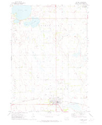
(125)- 1899 Map of De Smet
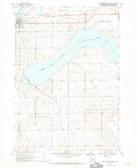
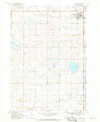
 1899 De Smet1899 Print · USGSEastern South Dakota in the 1890s appears as a landscape of rapid rail expansion and nascent prairie towns. You can trace early settlement patterns and transport hubs like De Smet, Carthage, and Iroquois along the Chicago and Northwestern R. R.2 unique versions available
 - 1953 Map of Watertown, 1968 Print
 1953 Watertown1968 Print · USGSEastern South Dakota and the Minnesota borderlands are captured here during the mid-twentieth century as the region's agricultural and rail-service centers thrived. Genealogists and local historians can trace family-named sites across the Coteau des Prairies and find landmarks in Watertown, De Smet, and Brookings.3 unique versions available
 - 1958 Map of Watertown
 1958 Watertown1958 Print · USGSThe eastern South Dakota prairie and the Minnesota borderlands are captured here in the late fifties, showcasing a landscape of terminal moraine lakes and burgeoning rail hubs. Genealogists and historians can trace the early paths of the Chicago and North Western railroad or locate family roots in Watertown, Clark, or the Sisseton Indian Reservation.2 unique versions available
 - 1968 Map of Lake Preston East, 1970 Print
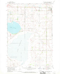
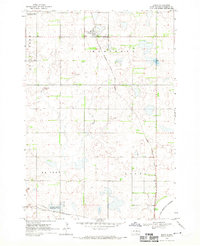
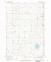
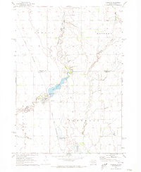
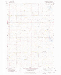
 1968 Lake Preston East1970 Print · USGSThe South Dakota prairie comes alive in the late sixties, centered on the rail junction at Lake Preston. Genealogists and historians can trace the intersecting lines of the Chicago and North Western and the United Cem near Spring Lake.
 - 1968 Map of Lake Preston West, 1970 Print
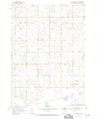
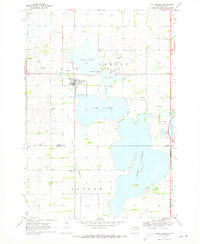
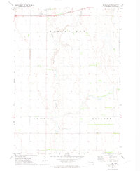
 1968 Lake Preston West1970 Print · USGSKingsbury County was a landscape of prairie lakes and rail-line commerce in the late 1960s. Genealogists and local historians can trace the development of Lake Preston and find landmarks like the Lake Preston Cem and the Townhall.
 - 1968 Map of Lake Preston NE, 1970 Print
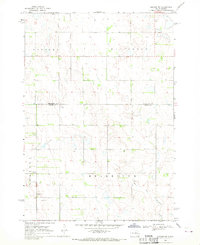
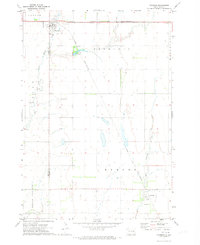
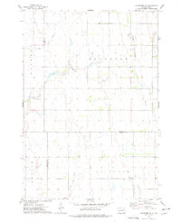
 1968 Lake Preston NE1970 Print · USGSKingsbury County during the late sixties was a landscape of structured townships and glacial basins. Genealogists can trace family footprints through rural landmarks like North Preston Ch, Odden Cem, and the tracks of the Chicago and North Western.
 - 1968 Map of Oldham NW, 1970 Print
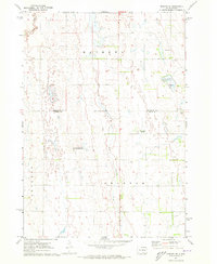
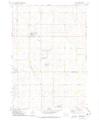
 1968 Oldham NW1970 Print · USGSIn the late 1960s, the rural borderlands of Kingsbury and Miner Counties maintained a quiet, agricultural character. Genealogists and local historians can locate the Berton Cem and trace the winding course of the East Fork Vermillion River.
 - 1968 Map of Arlington, 1970 Print
 1968 Arlington1970 Print · USGSKingsbury County agriculture and rail transit converge in the late sixties at the busy junction of the Great Northern and C & N W railroads. Researchers can trace ancestral roots at Nordland Cem or locate rural landmarks like Lake Whitewood Ch and the Townhall.2 unique versions available
 - 1968 Map of Erwin, 1970 Print
 1968 Erwin1970 Print · USGSKingsbury County agriculture and rail infrastructure are on full display in the late sixties. Genealogists and historians can trace the town of Erwin, locate the Erwin Cem, and follow the path of the Chicago Milwaukee St Paul and Pacific railroad.
 - 1968 Map of Oldham, 1970 Print
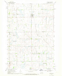 1968 Oldham1970 Print · USGSKingsbury County and the town of Oldham are shown during the late 1960s, capturing a traditional South Dakota prairie community linked by rail. Researchers can trace family sites at St Andreas Cem or Toles Cem and locate landmarks like the Townhall.
 - 1968 Map of Badger, 1970 Print
 1968 Badger1970 Print · USGSKingsbury County agriculture and rail transit are captured here in the late sixties as small-town life centered around the local tracks. Genealogists can trace family names through Badger Cem and Hetland Cem or locate the old Landing Field and Radio Tower.
 - 1968 Map of Madison NW, 1971 Print
 1968 Madison NW1971 Print · USGSLake County and Kingsbury County are captured in the late sixties at the height of their rail-and-water prairie character. Researchers can trace the Milwaukee Road rail line and locate St Anns Cem near the shores of Lake Badus.
 - 1969 Map of Lake Norden, 1971 Print
 1969 Lake Norden1971 Print · USGSHamlin County and its neighbors are seen here in the late sixties, a landscape defined by prairie lakes and the Burlington Northern line. Researchers can trace rural genealogy through South Trinity Cem, Apostolic Cem, and the settlement at Alsville.
 - 1971 Map of Iroquois, 1973 Print
 1971 Iroquois1973 Print · USGSIroquois and the surrounding prairie are captured here in the early seventies as established agricultural and rail hubs. Genealogists and local historians can trace the town layouts of Iroquois and Esmond or locate the Cemetery and Lake Iroquois campground.
 - 1971 Map of Howard NE, 1973 Print
 1971 Howard NE1973 Print · USGSMiner County farming and communal life are documented here in the early 1970s. Researchers can trace the Cloverleaf Colony, explore the West Fork Vermillion River valley, and locate Gravel Pits across the prairie.
 - 1971 Map of Bancroft East, 1973 Print
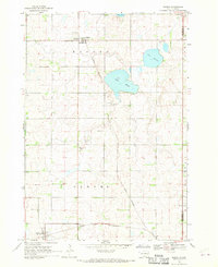
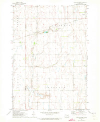
 1971 Bancroft East1973 Print · USGSKingsbury County agriculture and transit meet in the early seventies as the grain-hauling era reaches its peak. Genealogists and rail historians can trace the Burlington Northern near Bancroft or locate the shoreline of Spirit Lake.
 - 1971 Map of De Smet, 1973 Print
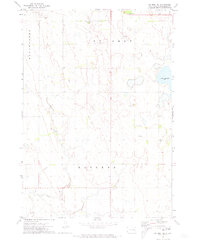
 1971 De Smet1973 Print · USGSDe Smet and the surrounding Kingsbury County prairie are captured here during the early seventies. Genealogists and local historians can locate the West Bethany Ch, Spirit Lake Cem, and the path of the Chicago and North Western railroad.
 - 1971 Map of Bancroft West, 1973 Print
 1971 Bancroft West1973 Print · USGSThe agricultural plains of Kingsbury and Beadle counties are captured here in the early 1970s, as the railroad still connected these rural townships. Researchers can trace land details near Bancroft and Osceola, or locate landmarks like the Cem and Osceola Lake.
 - 1971 Map of De Smet SE, 1973 Print
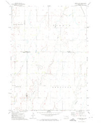
 1971 De Smet SE1973 Print · USGSKingsbury County agriculture and rural infrastructure are captured here in the early seventies. Genealogists and local historians can locate family burial sites at De Smet Cem and Johnson Cem or trace the path of Rock Creek.
 - 1971 Map of Artesian NE, 1973 Print
 1971 Artesian NE1973 Print · USGSFour counties converge in this South Dakota agricultural landscape during the early seventies, centered on the drainage of the Redstone forks. Genealogists and local historians can locate the old Townhall and trace the route of the Chicago and North Western railroad through Afton and Esmond.
 - 1971 Map of Carthage, 1973 Print
 1971 Carthage1973 Print · USGSCarthage and its surrounding prairie townships are captured here in the early seventies during a period of agricultural stability. Researchers can locate family plots at Sacred Heart Cem or trace the Chicago and North Western rail route past Lake Carthage.
 - 1971 Map of Manchester, 1973 Print
 1971 Manchester1973 Print · USGSThe prairie landscape of Kingsbury County in the early seventies centers on the rail-side settlement of Manchester. Genealogists and historians can trace family farmsteads along Redstone Creek and the Chicago and North Western line.
 - 1973 Map of Carpenter SE, 1978 Print
 1973 Carpenter SE1978 Print · USGSThe rural prairie landscape at the junction of Beadle, Clark, and Kingsbury Counties is captured here in the early seventies. Genealogists and local historians can trace the boundaries of Rosedale and Le Sueur townships or locate the Le Sueur Cem.
 - 1973 Map of Bryant, 1978 Print
 1973 Bryant1978 Print · USGSBryant sits at a vital railroad crossroads in the mid-1970s, surrounded by the wetlands and waterfowl production areas of eastern South Dakota. Researchers can locate early township cemeteries like St Marys Cem and trace the Milwaukee Road tracks.
 - 1973 Map of Gertson Slough, 1978 Print
 1973 Gertson Slough1978 Print · USGSHamlin and Kingsbury counties are captured here in the early seventies, showing a landscape defined by prairie wetlands and rural townships. Genealogists can locate several family landmarks and community sites, such as the Scandinavian Cemetery, Garfield Church, and St Peters Cemetery.
Showing maps 1-25 of 125
Top cities of Kingsbury County
- De Smet historical maps
- Lake Preston historical maps
- Oldham historical maps
- Badger historical maps
- Erwin historical maps
- Hetland historical maps
Frequently asked questions
- What are the different types of historical maps available for Kingsbury County?
- What is the oldest map of Kingsbury County?
- Where can I purchase historical maps of Kingsbury County for my home or office?
- Where can I download high-res historical maps of Kingsbury County?
- Are there historical topographic maps available for Kingsbury County?
- Is there historical aerial imagery available for Kingsbury County?
- Where are historical maps of Kingsbury County sourced from?