Old Maps of Kingsbury County, South Dakota for Genealogy
Trace your family roots with 53 historic maps of Kingsbury County. These high-res maps reveal old neighborhoods, homesites, landmarks, and streets — helping you uncover where your ancestors lived and how the area evolved over time.
- Explore historic neighborhoods: Identify where your relatives may have lived in the 1800s or 1900s.
- Compare maps over time: Trace the changes in streets, buildings, and landmarks for multi-generational research.
- Perfect for genealogy & ancestry research: Used by family historians and researchers to map out lineage and migration.
These maps are an incredible resource for exploring your personal connection to Kingsbury County's past.
Kingsbury County, SD maps
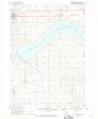
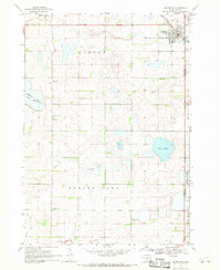
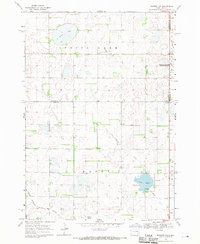
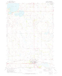
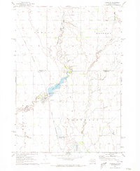
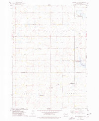
(53)- 1899 Map of De Smet
 1899 De Smet1899 Print · USGSCovers Kingsbury County, including De Smet, Howard, and other nearby areas2 unique versions available
 - 1953 Map of Watertown, 1968 Print
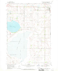
 1953 Watertown1968 Print · USGSCovers Kingsbury County, including Watertown, Brookings, and other nearby areas3 unique versions available
 - 1958 Map of Watertown
 1958 Watertown1958 Print · USGSCovers Kingsbury County, including Watertown, Brookings, and other nearby areas2 unique versions available
 - 1968 Map of Lake Preston East, 1970 Print
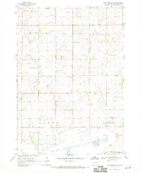
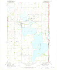
 1968 Lake Preston East1970 Print · USGSCovers Kingsbury County, including Lake Preston, United States, and other nearby areas
 - 1968 Map of Lake Preston West, 1970 Print
 1968 Lake Preston West1970 Print · USGSCovers Kingsbury County, including Lake Preston, United States, and other nearby areas
 - 1968 Map of Lake Preston NE, 1970 Print
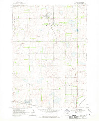
 1968 Lake Preston NE1970 Print · USGSCovers Kingsbury County, including United States, South Dakota, and other nearby areas
 - 1968 Map of Oldham NW, 1970 Print
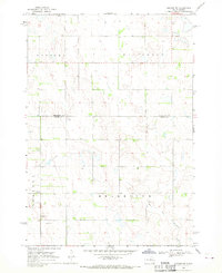 1968 Oldham NW1970 Print · USGSCovers Kingsbury County, including Belleview Township, Grafton Township, and other nearby areas
 - 1968 Map of Arlington, 1970 Print
 1968 Arlington1970 Print · USGSCovers Kingsbury County, including Arlington, Hetland, and other nearby areas2 unique versions available
 - 1968 Map of Erwin, 1970 Print
 1968 Erwin1970 Print · USGSCovers Kingsbury County, including Erwin, Spirit Lake Township, and other nearby areas
 - 1968 Map of Oldham, 1970 Print
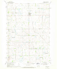 1968 Oldham1970 Print · USGSCovers Kingsbury County, including Oldham, Wayne Township, and other nearby areas
 - 1968 Map of Badger, 1970 Print
 1968 Badger1970 Print · USGSCovers Kingsbury County, including Badger, Hetland, and other nearby areas
 - 1968 Map of Madison NW, 1971 Print
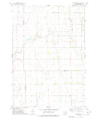
 1968 Madison NW1971 Print · USGSCovers Kingsbury County, including Spring Lake Hutterite Colony, Nunda Township, and other nearby areas
 - 1969 Map of Lake Norden, 1971 Print
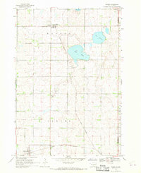
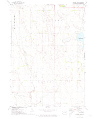
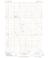
 1969 Lake Norden1971 Print · USGSCovers Kingsbury County, including Lake Norden, Norden Township, and other nearby areas
 - 1971 Map of Iroquois, 1973 Print
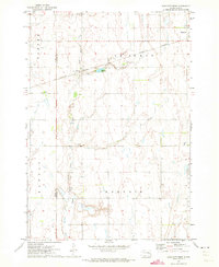
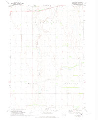
 1971 Iroquois1973 Print · USGSCovers Kingsbury County, including Iroquois, Esmond, and other nearby areas
 - 1971 Map of Howard NE, 1973 Print
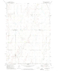
 1971 Howard NE1973 Print · USGSCovers Kingsbury County, including Cloverleaf Colony, Carthage Township, and other nearby areas
 - 1971 Map of Bancroft East, 1973 Print
 1971 Bancroft East1973 Print · USGSCovers Kingsbury County, including Bancroft, Manchester Township, and other nearby areas
 - 1971 Map of De Smet, 1973 Print
 1971 De Smet1973 Print · USGSCovers Kingsbury County, including De Smet, Manchester Township, and other nearby areas
 - 1971 Map of Bancroft West, 1973 Print
 1971 Bancroft West1973 Print · USGSCovers Kingsbury County, including Bancroft, Manchester Township, and other nearby areas
 - 1971 Map of De Smet SE, 1973 Print
 1971 De Smet SE1973 Print · USGSCovers Kingsbury County, including Manchester Township, United States, and other nearby areas
 - 1971 Map of Artesian NE, 1973 Print
 1971 Artesian NE1973 Print · USGSCovers Kingsbury County, including Afton Township, Esmond Township, and other nearby areas
 - 1971 Map of Carthage, 1973 Print
 1971 Carthage1973 Print · USGSCovers Kingsbury County, including Carthage, Esmond Township, and other nearby areas
 - 1971 Map of Manchester, 1973 Print
 1971 Manchester1973 Print · USGSCovers Kingsbury County, including Manchester Township, Esmond Township, and other nearby areas
 - 1973 Map of Carpenter SE, 1978 Print
 1973 Carpenter SE1978 Print · USGSCovers Kingsbury County, including Le Sueur Township, Beadle County, and other nearby areas
 - 1973 Map of Bryant, 1978 Print
 1973 Bryant1978 Print · USGSCovers Kingsbury County, including Bryant, Spirit Lake Township, and other nearby areas
 - 1973 Map of Gertson Slough, 1978 Print
 1973 Gertson Slough1978 Print · USGSCovers Kingsbury County, including Garfield Township, Cleveland Township, and other nearby areas
Showing maps 1-25 of 53
Top cities of Kingsbury County
- De Smet historical maps
- Lake Preston historical maps
- Oldham historical maps
- Badger historical maps
- Erwin historical maps
- Hetland historical maps
Frequently asked questions
- What are the different types of historical maps available for Kingsbury County?
- What is the oldest map of Kingsbury County?
- Where can I purchase historical maps of Kingsbury County for my home or office?
- Where can I download high-res historical maps of Kingsbury County?
- Are there historical topographic maps available for Kingsbury County?
- Is there historical aerial imagery available for Kingsbury County?
- Where are historical maps of Kingsbury County sourced from?