Old Maps of Kingsbury County, South Dakota for Academic Research
Study the evolution of Kingsbury County with 53 high-resolution historic maps. Whether you're teaching, researching, or modeling changes in land use, these maps provide essential visual documentation of urban, environmental, and geographic change.
- Analyze long-term change: Track patterns in development, transportation, and natural features.
- Ideal for environmental or urban studies: Support academic projects with primary historical map data.
- Use in the classroom or lab: Educators and researchers rely on these maps to bring historical context to life.
These maps are a powerful tool for teaching, research, and visualizing how Kingsbury County has changed over the decades.
Kingsbury County, SD maps
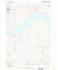
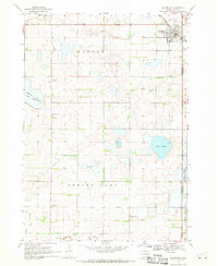
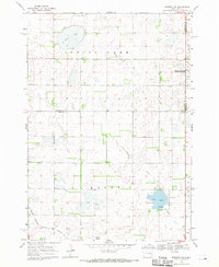
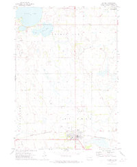
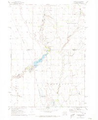
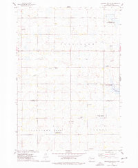
(53)- 1899 Map of De Smet
 1899 De Smet1899 Print · USGSCovers Kingsbury County, including De Smet, Howard, and other nearby areas2 unique versions available
 - 1953 Map of Watertown, 1968 Print
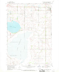
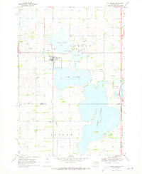
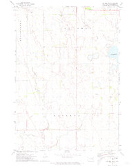
 1953 Watertown1968 Print · USGSCovers Kingsbury County, including Watertown, Brookings, and other nearby areas3 unique versions available
 - 1958 Map of Watertown
 1958 Watertown1958 Print · USGSCovers Kingsbury County, including Watertown, Brookings, and other nearby areas2 unique versions available
 - 1968 Map of Lake Preston East, 1970 Print
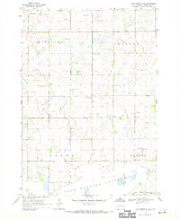
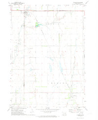
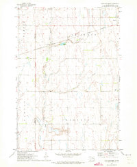
 1968 Lake Preston East1970 Print · USGSCovers Kingsbury County, including Lake Preston, United States, and other nearby areas
 - 1968 Map of Lake Preston West, 1970 Print
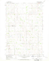
 1968 Lake Preston West1970 Print · USGSCovers Kingsbury County, including Lake Preston, United States, and other nearby areas
 - 1968 Map of Lake Preston NE, 1970 Print
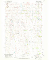
 1968 Lake Preston NE1970 Print · USGSCovers Kingsbury County, including United States, South Dakota, and other nearby areas
 - 1968 Map of Oldham NW, 1970 Print
 1968 Oldham NW1970 Print · USGSCovers Kingsbury County, including Belleview Township, Grafton Township, and other nearby areas
 - 1968 Map of Arlington, 1970 Print
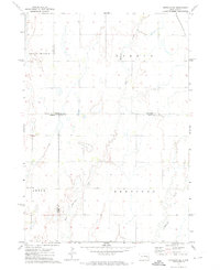
 1968 Arlington1970 Print · USGSCovers Kingsbury County, including Arlington, Hetland, and other nearby areas2 unique versions available
 - 1968 Map of Erwin, 1970 Print
 1968 Erwin1970 Print · USGSCovers Kingsbury County, including Erwin, Spirit Lake Township, and other nearby areas
 - 1968 Map of Oldham, 1970 Print
 1968 Oldham1970 Print · USGSCovers Kingsbury County, including Oldham, Wayne Township, and other nearby areas
 - 1968 Map of Badger, 1970 Print
 1968 Badger1970 Print · USGSCovers Kingsbury County, including Badger, Hetland, and other nearby areas
 - 1968 Map of Madison NW, 1971 Print
 1968 Madison NW1971 Print · USGSCovers Kingsbury County, including Spring Lake Hutterite Colony, Nunda Township, and other nearby areas
 - 1969 Map of Lake Norden, 1971 Print
 1969 Lake Norden1971 Print · USGSCovers Kingsbury County, including Lake Norden, Norden Township, and other nearby areas
 - 1971 Map of Iroquois, 1973 Print
 1971 Iroquois1973 Print · USGSCovers Kingsbury County, including Iroquois, Esmond, and other nearby areas
 - 1971 Map of Howard NE, 1973 Print
 1971 Howard NE1973 Print · USGSCovers Kingsbury County, including Cloverleaf Colony, Carthage Township, and other nearby areas
 - 1971 Map of Bancroft East, 1973 Print
 1971 Bancroft East1973 Print · USGSCovers Kingsbury County, including Bancroft, Manchester Township, and other nearby areas
 - 1971 Map of De Smet, 1973 Print
 1971 De Smet1973 Print · USGSCovers Kingsbury County, including De Smet, Manchester Township, and other nearby areas
 - 1971 Map of Bancroft West, 1973 Print
 1971 Bancroft West1973 Print · USGSCovers Kingsbury County, including Bancroft, Manchester Township, and other nearby areas
 - 1971 Map of De Smet SE, 1973 Print
 1971 De Smet SE1973 Print · USGSCovers Kingsbury County, including Manchester Township, United States, and other nearby areas
 - 1971 Map of Artesian NE, 1973 Print
 1971 Artesian NE1973 Print · USGSCovers Kingsbury County, including Afton Township, Esmond Township, and other nearby areas
 - 1971 Map of Carthage, 1973 Print
 1971 Carthage1973 Print · USGSCovers Kingsbury County, including Carthage, Esmond Township, and other nearby areas
 - 1971 Map of Manchester, 1973 Print
 1971 Manchester1973 Print · USGSCovers Kingsbury County, including Manchester Township, Esmond Township, and other nearby areas
 - 1973 Map of Carpenter SE, 1978 Print
 1973 Carpenter SE1978 Print · USGSCovers Kingsbury County, including Le Sueur Township, Beadle County, and other nearby areas
 - 1973 Map of Bryant, 1978 Print
 1973 Bryant1978 Print · USGSCovers Kingsbury County, including Bryant, Spirit Lake Township, and other nearby areas
 - 1973 Map of Gertson Slough, 1978 Print
 1973 Gertson Slough1978 Print · USGSCovers Kingsbury County, including Garfield Township, Cleveland Township, and other nearby areas
Showing maps 1-25 of 53
Top cities of Kingsbury County
- De Smet historical maps
- Lake Preston historical maps
- Oldham historical maps
- Badger historical maps
- Erwin historical maps
- Hetland historical maps
Frequently asked questions
- What are the different types of historical maps available for Kingsbury County?
- What is the oldest map of Kingsbury County?
- Where can I purchase historical maps of Kingsbury County for my home or office?
- Where can I download high-res historical maps of Kingsbury County?
- Are there historical topographic maps available for Kingsbury County?
- Is there historical aerial imagery available for Kingsbury County?
- Where are historical maps of Kingsbury County sourced from?