2000s (21st Century) Maps of Spirit Lake Township, South Dakota
Explore 24 historic maps of Spirit Lake Township from the 2000s (21st Century). These maps offer a rare glimpse into what life looked like during the 2000s — showing old roads, neighborhoods, homes, and landmarks that have changed or disappeared over time.
Whether you're researching your family's past, planning a metal detecting trip, or studying how Spirit Lake Township's landscape evolved across the 2000s, these high-resolution maps are a powerful tool for exploring the history of this region.
- Focus on a specific era: All maps on this page are from the 2000s, giving you a focused view of this time period.
- See what’s changed: Compare century-old streets, trails, and buildings to today's modern landscape using overlays and satellite layers.
- Research with precision: Use these maps for genealogy, historical research, land use analysis, or educational projects.
- View, download, or print: Maps are fully viewable online in high resolution, and can be downloaded or printed for your own records.
Start exploring Spirit Lake Township's history through authentic maps from the 2000s. This is your window into the past.
Spirit Lake Township, SD maps
(24)- 2012 Map of De Smet, 2012 Print
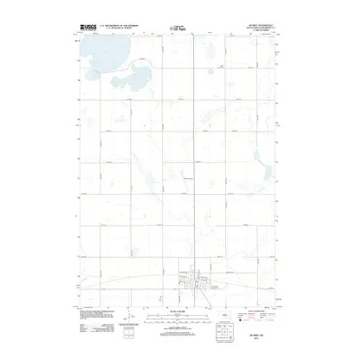 2012 De Smet2012 Print · USGSCovers Spirit Lake Township, including De Smet, Manchester Township, and other nearby areas
 - 2012 Map of Bryant, 2012 Print
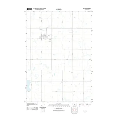 2012 Bryant2012 Print · USGSCovers Spirit Lake Township, including Bryant, Garfield Township, and other nearby areas
 - 2012 Map of Willow Lake SW, 2012 Print
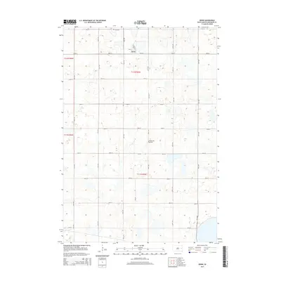
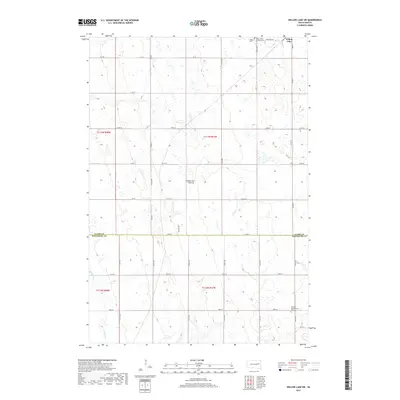
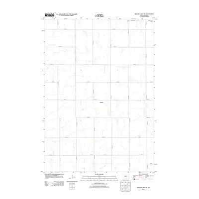 2012 Willow Lake SW2012 Print · USGSCovers Spirit Lake Township, including Willow Lake, Melham, and other nearby areas
 - 2012 Map of Erwin, 2012 Print
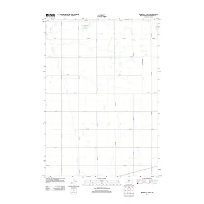
 2012 Erwin2012 Print · USGSCovers Spirit Lake Township, including Erwin, Kingsbury County, and other nearby areas
 - 2012 Map of Cherry Lake, 2012 Print
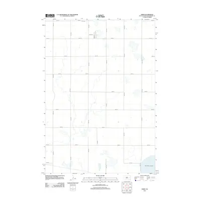
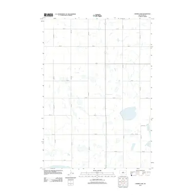 2012 Cherry Lake2012 Print · USGSCovers Spirit Lake Township, including Kingsbury County, Clark County, and other nearby areas
 - 2012 Map of Bancroft East, 2012 Print
 2012 Bancroft East2012 Print · USGSCovers Spirit Lake Township, including Bancroft, Manchester Township, and other nearby areas
 - 2015 Map of Cherry Lake, 2015 Print
 2015 Cherry Lake2015 Print · USGSCovers Spirit Lake Township, including Kingsbury County, Clark County, and other nearby areas
 - 2015 Map of Erwin, 2015 Print
 2015 Erwin2015 Print · USGSCovers Spirit Lake Township, including Erwin, Kingsbury County, and other nearby areas
 - 2015 Map of Willow Lake SW, 2015 Print
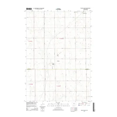 2015 Willow Lake SW2015 Print · USGSCovers Spirit Lake Township, including Willow Lake, Melham, and other nearby areas
 - 2015 Map of De Smet, 2015 Print
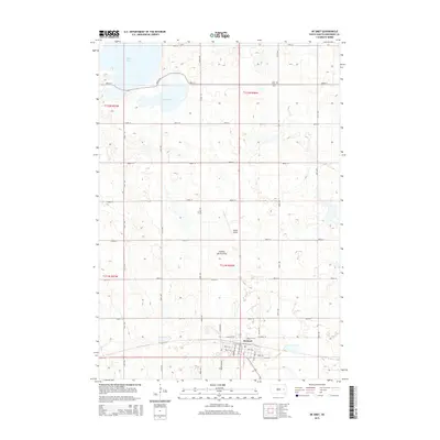 2015 De Smet2015 Print · USGSCovers Spirit Lake Township, including De Smet, Manchester Township, and other nearby areas
 - 2015 Map of Bancroft East, 2015 Print
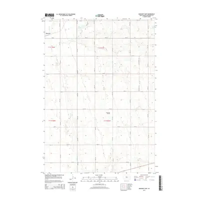 2015 Bancroft East2015 Print · USGSCovers Spirit Lake Township, including Bancroft, Manchester Township, and other nearby areas
 - 2015 Map of Bryant, 2015 Print
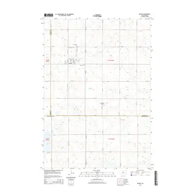 2015 Bryant2015 Print · USGSCovers Spirit Lake Township, including Bryant, Garfield Township, and other nearby areas
 - 2017 Map of De Smet, 2017 Print
 2017 De Smet2017 Print · USGSCovers Spirit Lake Township, including De Smet, Manchester Township, and other nearby areas
 - 2017 Map of Erwin, 2017 Print
 2017 Erwin2017 Print · USGSCovers Spirit Lake Township, including Erwin, Kingsbury County, and other nearby areas
 - 2017 Map of Bryant, 2017 Print
 2017 Bryant2017 Print · USGSCovers Spirit Lake Township, including Bryant, Garfield Township, and other nearby areas
 - 2017 Map of Bancroft East, 2017 Print
 2017 Bancroft East2017 Print · USGSCovers Spirit Lake Township, including Bancroft, Manchester Township, and other nearby areas
 - 2017 Map of Cherry Lake, 2017 Print
 2017 Cherry Lake2017 Print · USGSCovers Spirit Lake Township, including Kingsbury County, Clark County, and other nearby areas
 - 2017 Map of Willow Lake SW, 2017 Print
 2017 Willow Lake SW2017 Print · USGSCovers Spirit Lake Township, including Willow Lake, Melham, and other nearby areas
 - 2021 Map of De Smet, 2021 Print
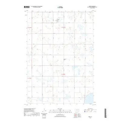
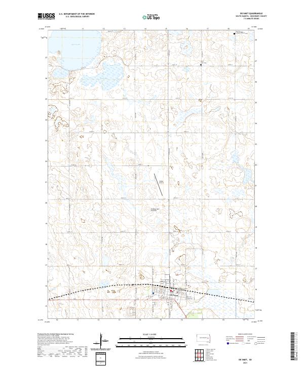 2021 De Smet2021 Print · USGSDe Smet and the surrounding Kingsbury County plains are captured here in the early twenty-first century. Genealogists and local historians can trace the town’s civic layout near the Kingsbury County Courthouse or locate family plots at Spirit Lake Cem.
 - 2021 Map of Bryant, 2021 Print
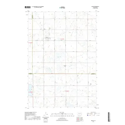
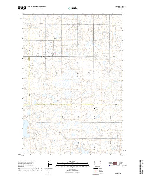 2021 Bryant2021 Print · USGSThe upland prairie around Bryant is shown here in the early twenty-first century, documenting a region defined by its Lutheran heritage and glacial geography. Researchers can locate five local burial grounds, including Woodlawn Cem and Clara Lutheran Cem, alongside natural features like Johnsons Slough.
 - 2021 Map of Cherry Lake, 2021 Print
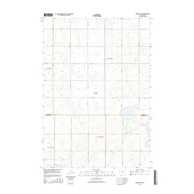
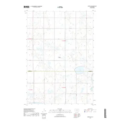
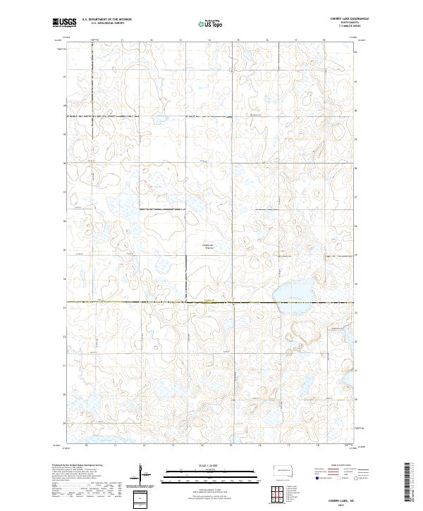 2021 Cherry Lake2021 Print · USGSThe high glacial plateau of South Dakota is captured here in the early twenty-first century, showing a landscape defined by the Coteau des Prairies. Genealogists and researchers can trace local land patterns and rural routes like Efraimson Dr near the shores of Cherry Lake.
 - 2021 Map of Bancroft East, 2021 Print
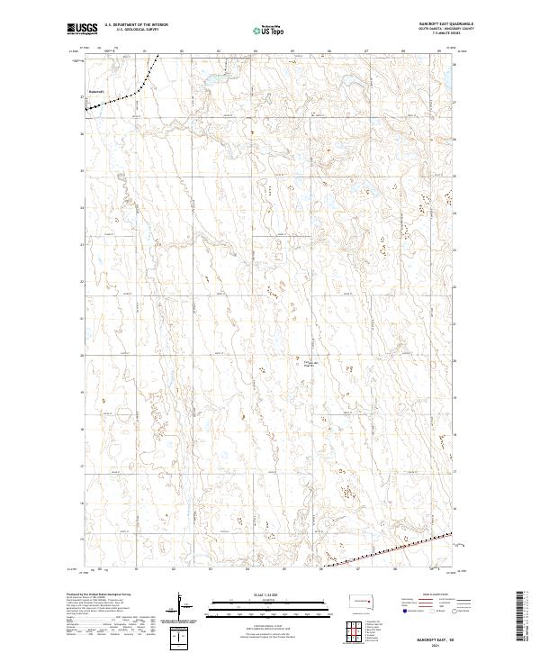 2021 Bancroft East2021 Print · USGSKingsbury County’s prairie highlands are documented in this recent survey of the Coteau region near the town of Bancroft. Researchers can trace the section-line roads and drainage of Redstone Cr or locate family sites near Lake Agnew and Cottonwood Ave.
 - 2021 Map of Willow Lake SW, 2021 Print
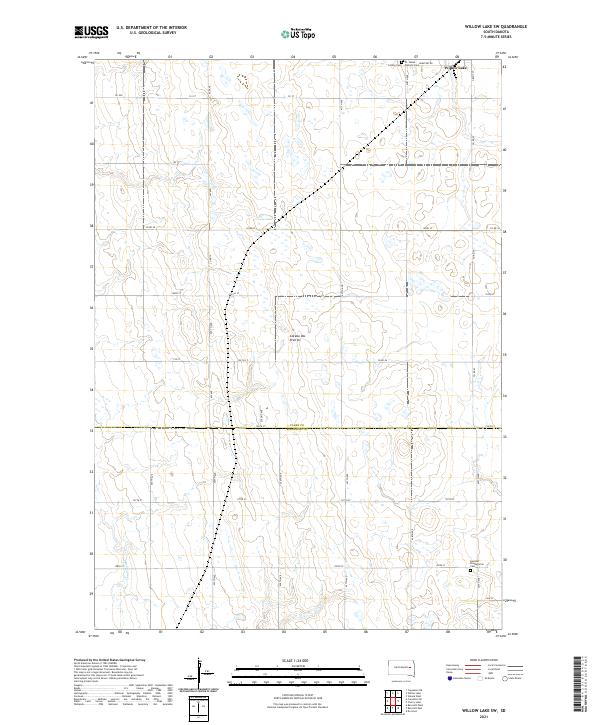 2021 Willow Lake SW2021 Print · USGSThe prairie pothole region of the South Dakota plains is captured here in the early twenty-first century. Genealogists can trace family roots at St. James Catholic Cem and German Presbyterian Cem near the town of Willow Lake.
 - 2021 Map of Erwin, 2021 Print
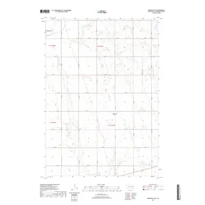
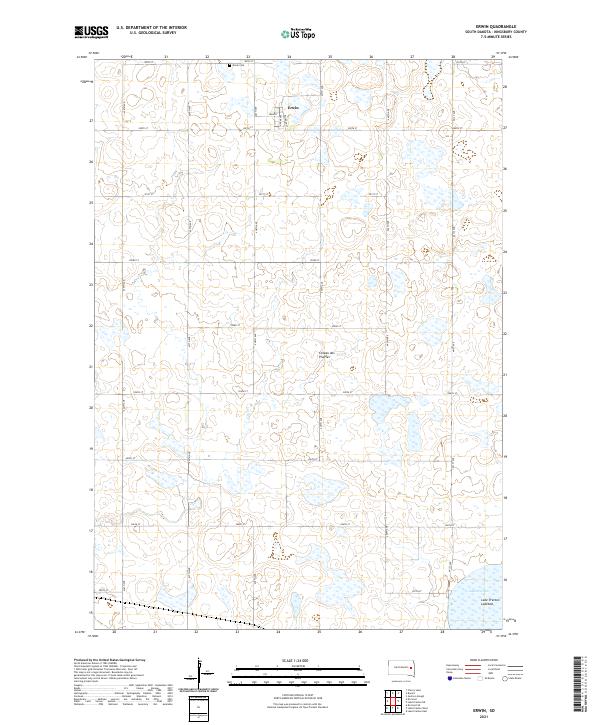 2021 Erwin2021 Print · USGSThe glacial plateau of the Coteau des Prairies surrounds the village of Erwin in this 2021 study. Researchers can trace local history through the Erwin Cem and the distinctive landscape of the Lake Preston Lakebed.
End of results
Showing maps 1-24 of 24
Top cities near Spirit Lake Township
- De Smet historical maps
- Lake Preston historical maps
- Bryant historical maps
- Willow Lake historical maps
- Vienna historical maps
- Erwin historical maps
See more
Frequently asked questions
- What are the different types of historical maps available for Spirit Lake Township?
- What is the oldest map of Spirit Lake Township?
- Where can I purchase historical maps of Spirit Lake Township for my home or office?
- Where can I download high-res historical maps of Spirit Lake Township?
- Are there historical topographic maps available for Spirit Lake Township?
- Is there historical aerial imagery available for Spirit Lake Township?
- Where are historical maps of Spirit Lake Township sourced from?