2020s Maps of Kyle, South Dakota
Explore 18 historic maps of Kyle from the 2020s. These maps offer a rare glimpse into what life looked like during the 2020s — showing old roads, neighborhoods, homes, and landmarks that have changed or disappeared over time.
Whether you're researching your family's past, planning a metal detecting trip, or studying how Kyle's landscape evolved across the 2020s, these high-resolution maps are a powerful tool for exploring the history of this region.
- Focus on a specific era: All maps on this page are from the 2020s, giving you a focused view of this time period.
- See what’s changed: Compare century-old streets, trails, and buildings to today's modern landscape using overlays and satellite layers.
- Research with precision: Use these maps for genealogy, historical research, land use analysis, or educational projects.
- View, download, or print: Maps are fully viewable online in high resolution, and can be downloaded or printed for your own records.
Start exploring Kyle's history through authentic maps from the 2020s. This is your window into the past.
Kyle, SD maps
(18)- 2021 Map of Yellow Bear Camp SW, 2021 Print
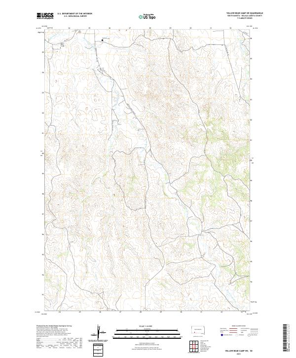 2021 Yellow Bear Camp SW2021 Print · USGSThe Pine Ridge Reservation landscape in the early 2020s shows a quiet network of rural roads and creek drainages. Researchers can locate Mediator Cem and Oglala Lakota College along the banks of American Horse Cr.
 - 2021 Map of Yellow Bear Camp, 2021 Print
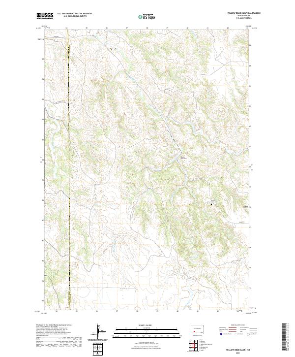 2021 Yellow Bear Camp2021 Print · USGSThe high plains along the Oglala Lakota and Bennett County line are documented here in the early twenty-first century. Genealogists and local historians can locate Yellow Bear Camp, trace Medicine Root Cr, and find the Body of Christ Cem.
 - 2021 Map of Kyle, 2021 Print
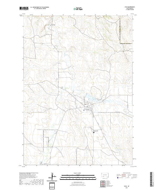 2021 Kyle2021 Print · USGSKyle and the surrounding Oglala Lakota lands are captured here in the early twenty-first century as a network of creek-side settlements. Family historians can locate Saint Barnabas Episcopal Cem, Saint Stephen Catholic Cem, and follow the Big Foot Trl across the prairie.
 - 2021 Map of Wounded Knee, 2021 Print
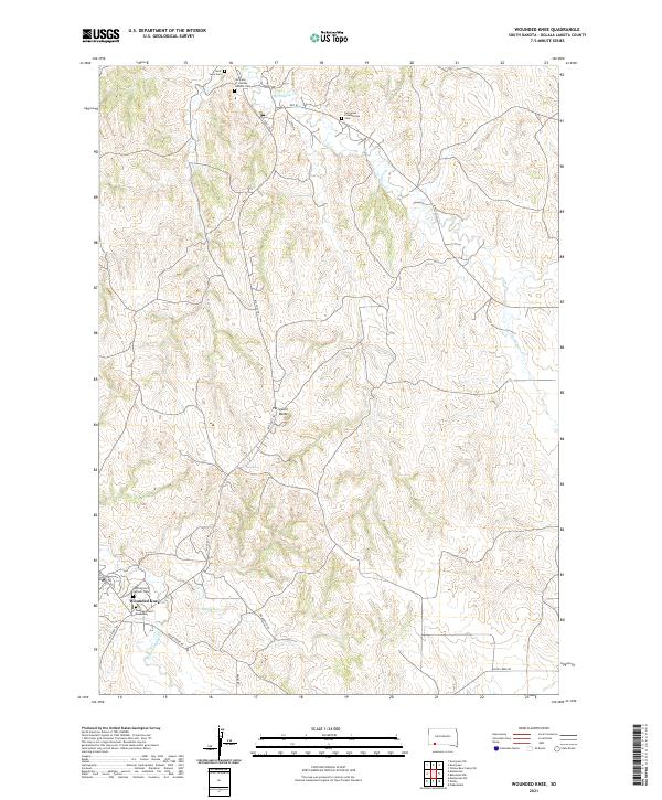 2021 Wounded Knee2021 Print · USGSThe Pine Ridge Indian Reservation is documented here in the early twenty-first century, centered on the historic site of Wounded Knee. Researchers can trace local genealogy and landmarks through sites like the Wounded Knee Monument, Saint Julia Cem, and the Big Foot Trl.
 - 2021 Map of Evergreen NE, 2021 Print
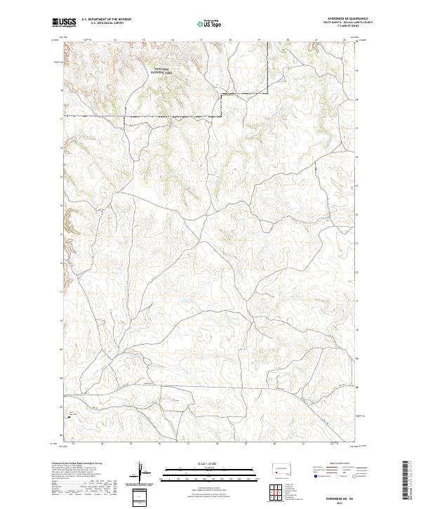 2021 Evergreen NE2021 Print · USGSThe Pine Ridge Reservation landscape in the early 2020s shows a terrain defined by deep creek valleys and historic transit routes. Genealogists and historians can locate Saint Luke Cem or trace the path of the Big Foot Trl near Badlands National Park.
 - 2021 Map of Conata, 2021 Print
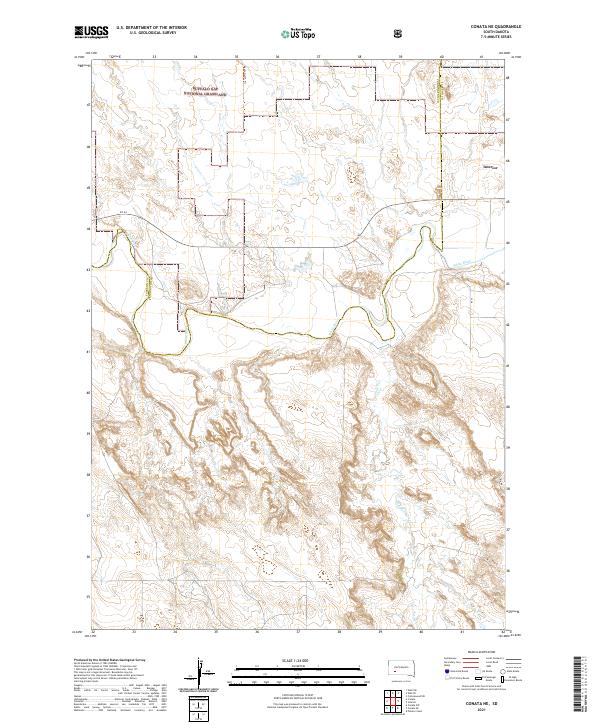
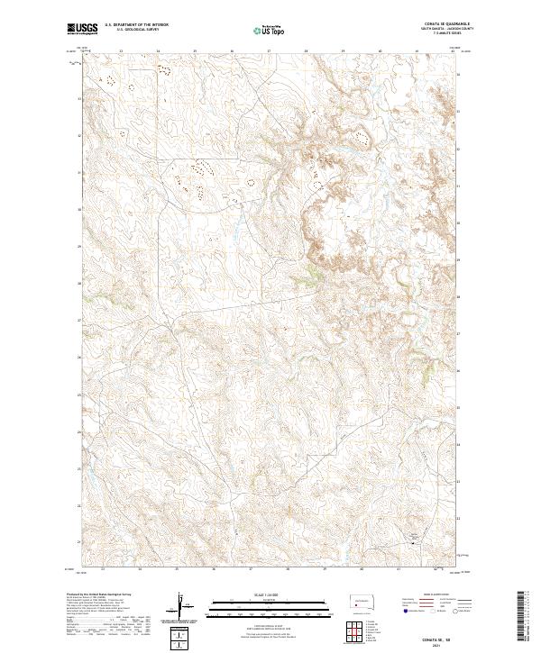
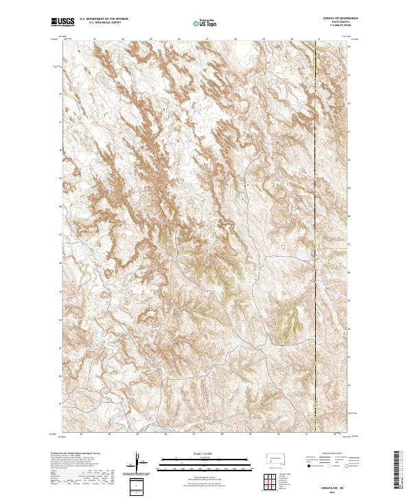
 2021 Conata2021 Print · USGSThe high plains and river breaks of Oglala Lakota County are mapped here during the early twenty-first century. Researchers can trace the winding course of the White River through the Buffalo Gap National Grassland and locate the small settlement of Conata.
 - 2021 Map of Potato Creek, 2021 Print
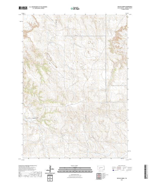 2021 Potato Creek2021 Print · USGSJackson County, South Dakota, is captured here in the early 2020s, showing a landscape defined by prairie watercourses and tribal roads. Researchers can trace the drainage of Lost Dog Cr and Turtle Cr near the settlement of Potato Creek.
 - 2021 Map of Evergreen, 2021 Print
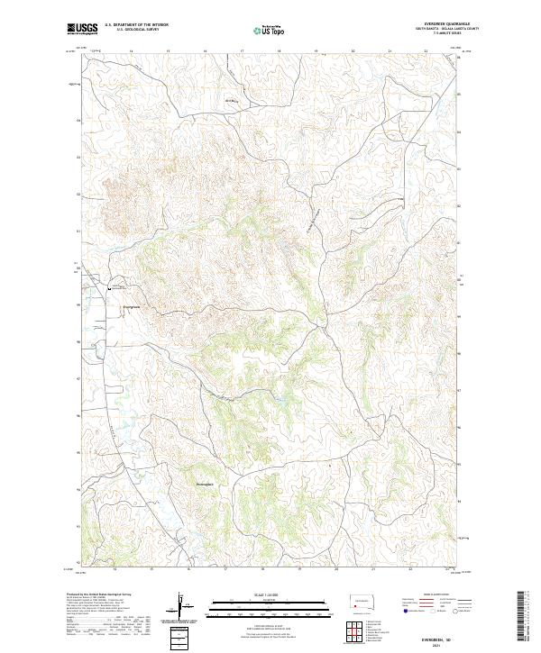 2021 Evergreen2021 Print · USGSOglala Lakota County settlement and geography are documented here during the early twenty-first century. Genealogists and local historians can trace family-named landmarks and essential sites like Saint Albans Episcopal Cem, Evergreen, and the Big Foot Trl.
 - 2021 Map of Conata NE, 2021 Print
 2021 Conata NE2021 Print · USGSJackson County and the grasslands of South Dakota are captured here in the early 2020s, showcasing a landscape defined by river valleys and open range. Researchers can trace the meandering White River and follow rural tracks like Agate North Trl and SN 44.
 - 2021 Map of Batesland NW, 2021 Print
 2021 Batesland NW2021 Print · USGSOglala Lakota County, South Dakota, is mapped here in the early 2020s, showcasing the high-plains landscape before its recent shifts. Researchers can trace rural routes like American Horse Creek Rd across the drainage of Porcupine Cr and the Little White River.
 - 2021 Map of Interior, 2021 Print
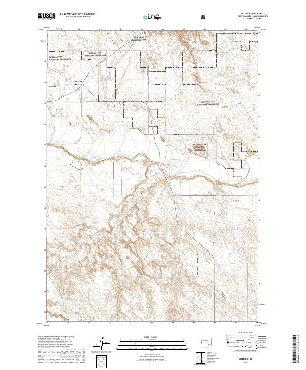 2021 Interior2021 Print · USGSIn the early twenty-first century, Interior remains a key outpost at the edge of the South Dakota badlands and the White River. Researchers can trace local history at the Interior Cem or navigate the boundaries of the Buffalo Gap National Grassland.
 - 2021 Map of Bouquet Table, 2021 Print
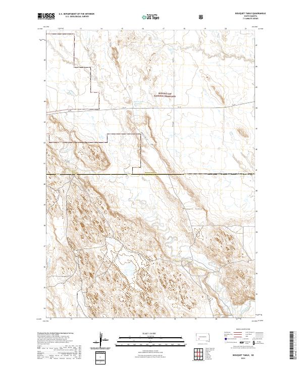 2021 Bouquet Table2021 Print · USGSThe high plateau of Bouquet Table and the Buffalo Gap National Grassland define this corner of South Dakota in the early 2020s. Researchers can trace the rugged course of the White River and the rural network of 185th Ave across the county line.
 - 2021 Map of Conata SE, 2021 Print
 2021 Conata SE2021 Print · USGSJackson County's high plains drainage systems are documented here in the early 2020s, showing a landscape shaped by creek beds and tribal road networks. Researchers can locate the Native American Cem and trace the paths of Indian Cr and BIA HWY 2.
 - 2021 Map of Hisle NW, 2021 Print
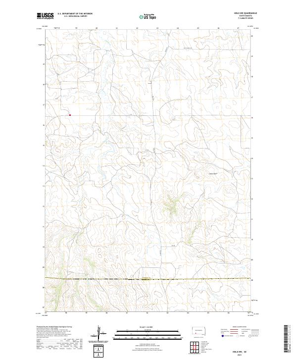 2021 Hisle NW2021 Print · USGSThe open range of Jackson and Bennett counties comes into focus in this recent survey. Local historians and land researchers can trace the meandering path of Potato Cr and locate prominent regional landmarks like Snake Butte and Old School Rd.
 - 2021 Map of Conata SW, 2021 Print
 2021 Conata SW2021 Print · USGSThe Oglala Lakota and Jackson county border appears here in the early twenty-first century, showing a landscape defined by prairie hydrology. Trace the winding paths of Medicine Root Cr and Redwater Cr alongside rural routes like River Rd.
 - 2021 Map of Imlay SE, 2021 Print
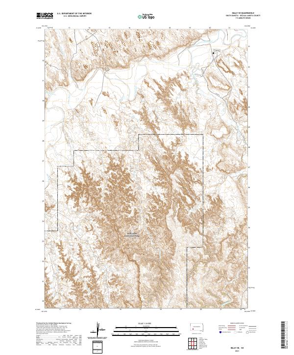 2021 Imlay SE2021 Print · USGSOglala Lakota County and the northern reaches of the Badlands are documented here in the early twenty-first century. Researchers can locate the Saint Barbara Catholic Cem and trace the winding paths of the White River and Clifford Cr.
 - 2021 Map of Imlay, 2021 Print
 2021 Imlay2021 Print · USGSPennington County's high plains and badlands are shown here in the early twenty-first century. Researchers can trace the plateau boundaries of Keester Table and Hunt Table or locate the remote settlement of Imlay near Cain Cr.
 - 2021 Map of Kyle NE, 2021 Print
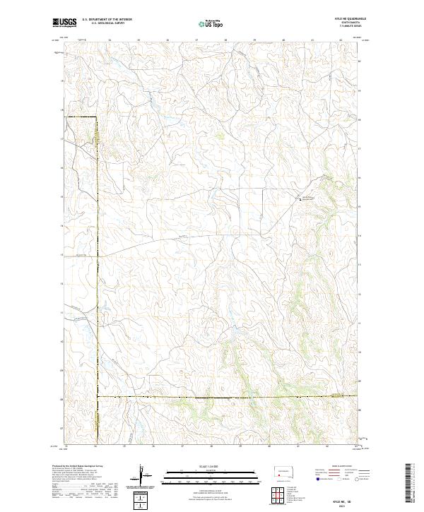 2021 Kyle NE2021 Print · USGSJackson and Oglala Lakota counties meet in this western prairie landscape during the early twenty-first century. Researchers can trace historic routes like the Big Foot Trl and locate significant sites such as the Lakota Freedom Veterans Cem along Bia Hwy 2.
End of results
Showing maps 1-18 of 18
Top cities near Kyle
Top neighborhoods of Kyle
Frequently asked questions
- What are the different types of historical maps available for Kyle?
- What is the oldest map of Kyle?
- Where can I purchase historical maps of Kyle for my home or office?
- Where can I download high-res historical maps of Kyle?
- Are there historical topographic maps available for Kyle?
- Is there historical aerial imagery available for Kyle?
- Where are historical maps of Kyle sourced from?