Old Maps of Rutland Township, South Dakota for Hiking & Exploration
Hike through history with 14 historic maps of Rutland Township. Explore old trails, ghost towns, and forgotten backroads — perfect for outdoor adventurers and local explorers.
- Rediscover forgotten places: Map out old mining camps, roads, and footpaths that no longer exist on modern maps.
- Layer with modern tools: Combine with LiDAR or satellite views to plan hikes through historical terrain.
- Made for exploration: Popular among hikers, overlanders, and local history lovers.
Use these maps to find adventure and explore the hidden past of Rutland Township.
Rutland Township, SD maps
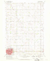
(14)- 1953 Map of Watertown, 1968 Print
 1953 Watertown1968 Print · USGSEastern South Dakota and the Minnesota borderlands are captured here during the mid-twentieth century as the region's agricultural and rail-service centers thrived. Genealogists and local historians can trace family-named sites across the Coteau des Prairies and find landmarks in Watertown, De Smet, and Brookings.3 unique versions available
 - 1958 Map of Watertown
 1958 Watertown1958 Print · USGSThe eastern South Dakota prairie and the Minnesota borderlands are captured here in the late fifties, showcasing a landscape of terminal moraine lakes and burgeoning rail hubs. Genealogists and historians can trace the early paths of the Chicago and North Western railroad or locate family roots in Watertown, Clark, or the Sisseton Indian Reservation.2 unique versions available
 - 1968 Map of Madison, 1970 Print
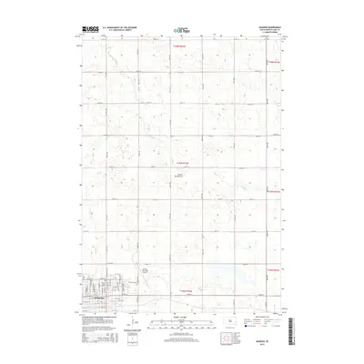
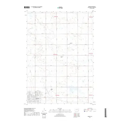
 1968 Madison1970 Print · USGSMadison is shown as a thriving regional hub in the late sixties, centered on its college campus and railroad connections. Researchers can trace family roots through mapped landmarks like Graceland Cem, General Beadle State College, and Lake Madison Ch.
 - 1968 Map of Rutland, 1971 Print
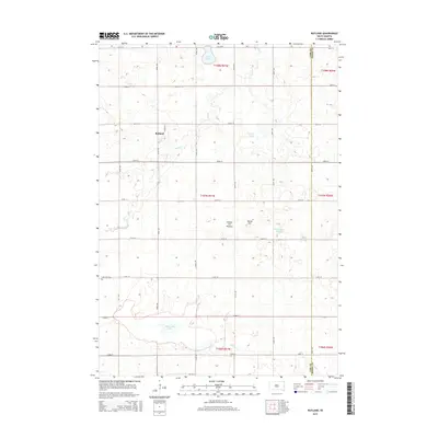
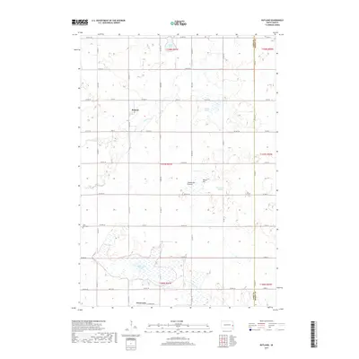
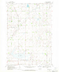 1968 Rutland1971 Print · USGSThe prairie townships of Lake County were dominated by the rail-and-water landscape of the late sixties. Researchers can trace the Great Northern line through Rutland, locate the Lake Park Cem, and map the shores of Milwaukee Lake.
 - 1985 Map of Brookings
 1985 Brookings1985 Print · USGSThe South Dakota and Minnesota borderlands in the mid-1980s are defined here by a network of prairie lakes and bustling rail corridors. Researchers can trace the path of the Chicago and North Western through Brookings or explore the numerous wetlands of Oakwood Lakes State Park.2 unique versions available
 - 1985 Map of De Smet, 1986 Print
 1985 De Smet1986 Print · USGSEastern South Dakota in the mid-eighties shows a landscape of prairie rail towns and sprawling glacial lakes. Researchers can trace the routes of the Chicago and North Western through De Smet or locate communal sites like Pearl Creek Colony and Cloverleaf Colony.3 unique versions available
 - 2012 Map of Rutland, 2012 Print
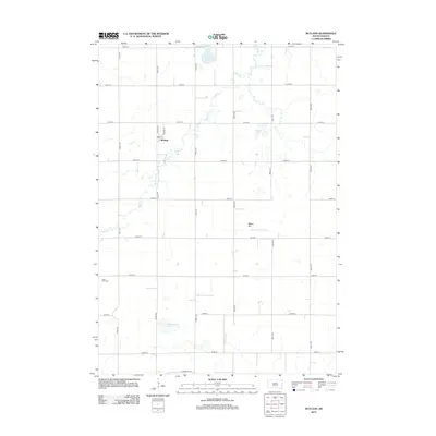 2012 Rutland2012 Print · USGSCovers Rutland Township, including Rutland, Wentworth, and other nearby areas
 - 2012 Map of Madison, 2012 Print
 2012 Madison2012 Print · USGSCovers Rutland Township, including Madison, Nunda Township, and other nearby areas
 - 2015 Map of Rutland, 2015 Print
 2015 Rutland2015 Print · USGSCovers Rutland Township, including Rutland, Wentworth, and other nearby areas
 - 2015 Map of Madison, 2015 Print
 2015 Madison2015 Print · USGSCovers Rutland Township, including Madison, Nunda Township, and other nearby areas
 - 2017 Map of Rutland, 2017 Print
 2017 Rutland2017 Print · USGSCovers Rutland Township, including Rutland, Wentworth, and other nearby areas
 - 2017 Map of Madison, 2017 Print
 2017 Madison2017 Print · USGSCovers Rutland Township, including Madison, Nunda Township, and other nearby areas
 - 2021 Map of Madison, 2021 Print
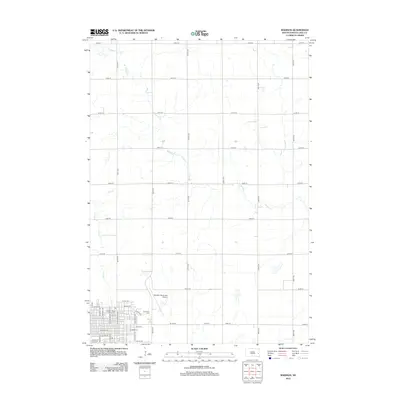
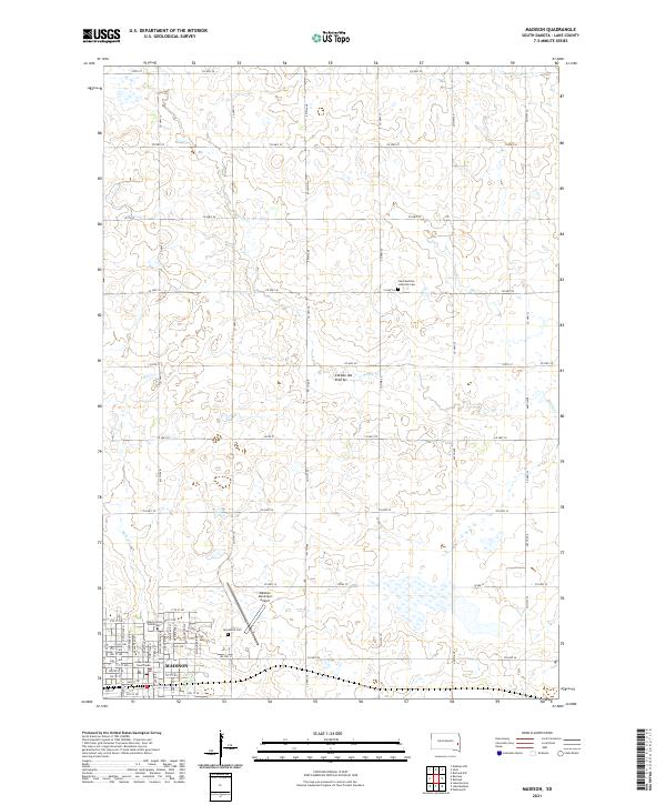 2021 Madison2021 Print · USGSMadison and the surrounding Lake County uplands are documented here in the early twenty-first century as the region continues its role as a regional educational and civic center. Researchers can locate Dakota State University, Graceland Cem, and the Lake County Courthouse.
 - 2021 Map of Rutland, 2021 Print
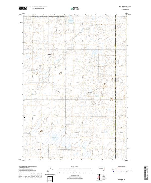 2021 Rutland2021 Print · USGSLake County and the Moody County border are captured here in the early 2020s, showcasing the agricultural grid of the Coteau des Prairies. Researchers can trace local landmarks like Lake Park Cemetery or the shorelines of Milwaukee Lake and Green Lake.
End of results
Showing maps 1-14 of 14
Top cities near Rutland Township
- Brookings historical maps
- Madison historical maps
- Medary historical maps
- Chester historical maps
- Colman historical maps
- Franklin historical maps
See more
Top neighborhoods of Rutland Township
Frequently asked questions
- What are the different types of historical maps available for Rutland Township?
- What is the oldest map of Rutland Township?
- Where can I purchase historical maps of Rutland Township for my home or office?
- Where can I download high-res historical maps of Rutland Township?
- Are there historical topographic maps available for Rutland Township?
- Is there historical aerial imagery available for Rutland Township?
- Where are historical maps of Rutland Township sourced from?