Old Maps of Pleasant Township, South Dakota
Explore 25 old maps of Pleasant Township, spanning from 1897 to today. These high-resolution historic maps reveal how streets, neighborhoods, landmarks, and natural features evolved over time — perfect for genealogy, metal detecting, research, and local history exploration.
What you can do with these maps:
- See how Pleasant Township changed over time: Compare historical maps to modern-day views to trace roads, homesites, rail lines & more.
- View detailed metadata: Each map includes creators, publishers, year, scale, and archive source.
- Overlay maps with satellite & LiDAR: Visualize the past alongside modern tools to explore terrain & human change.
- Trusted historical sources: Maps sourced from the USGS, Library of Congress, and other archives.
- Access maps your way: View online, download high-res files, or order prints for personal or research use.
Start exploring old maps of Pleasant Township to uncover forgotten places, hidden landmarks, and the deep history beneath your feet.
Pleasant Township, SD maps
(25)- 1897 Map of Canton, 1954 Print
 1897 Canton1954 Print · USGSSoutheastern South Dakota and the Iowa borderlands were undergoing a railway-driven expansion during the 1890s. Genealogists and historians can trace early settlements like Beloit, Centerville, and Lennox as they grew along the Big Sioux River.
 - 1900 Map of Canton
 1900 Canton1900 Print · USGSSoutheastern South Dakota and the Iowa borderlands are captured here at a peak of late-nineteenth-century rail expansion. Genealogists can trace the early foundations of towns like Canton, Centerville, and Beresford along the Big Sioux River.2 unique versions available
 - 1955 Map of Sioux Falls, 1967 Print
 1955 Sioux Falls1967 Print · USGSThe eastern South Dakota and western Minnesota borderlands come alive in the mid-fifties, showing the vital rail-to-river connections of the era. Genealogists can trace family footprints across townships like Madison and Pipestone, while following the paths of the Big Sioux River and the Chicago and North Western line.3 unique versions available
 - 1958 Map of Sioux Falls
 1958 Sioux Falls1958 Print · USGSThe tri-state borderlands of South Dakota, Minnesota, and Iowa are captured here during the mid-century peak of the regional rail network. Genealogists and historians can trace local landmarks like Augustana Academy, the St Marys Cem, and the path of the Illinois Central through Rock Rapids.
 - 1968 Map of Alcester NW, 1970 Print
 1968 Alcester NW1970 Print · USGSLincoln County farmland in the late sixties is defined by its dense network of rural schools and country churches. Genealogists can trace family footprints near the Tuntland Cem, Norway Center, and several local landmarks like Sundy Sch.2 unique versions available
 - 1968 Map of Alcester, 1970 Print
 1968 Alcester1970 Print · USGSThe South Dakota prairie near the Union and Lincoln County line is captured here in the late sixties. Genealogists and local historians can trace the rural school system at Elmwood Sch and Silver Lake Sch or locate the Gothland Cem.
 - 1968 Map of Beresford, 1971 Print
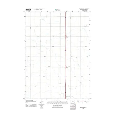
 1968 Beresford1971 Print · USGSBeresford and the surrounding prairie townships are captured in the late sixties as modern highway interchanges began to reshape the rural landscape. Researchers can locate numerous country schools and cemeteries like Glenwood Sch, St Johns Cem, and Brooklyn Ch.
 - 1968 Map of Beresford NE, 1971 Print
 1968 Beresford NE1971 Print · USGSThe rural landscape of Lincoln County in the late sixties shows a traditional farming community at the dawn of the Interstate era. Researchers can trace the placement of local schoolhouses like Burney Sch and early burial sites including Skresfrud Cem.
 - 1985 Map of Rock Rapids
 1985 Rock Rapids1985 Print · USGSThe borderlands of South Dakota and Iowa come into focus in the mid-1980s, centered on the fertile valleys of the Big Sioux River. Genealogists and researchers can trace rural homesteads near Rock Rapids, find Dordt College in Sioux Center, or locate old burial sites like Grace Hill Cem.2 unique versions available
 - 2012 Map of Beresford NE, 2012 Print
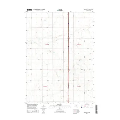
 2012 Beresford NE2012 Print · USGSCovers Pleasant Township, including Brooklyn Township, Lincoln Township, and other nearby areas
 - 2012 Map of Alcester, 2012 Print
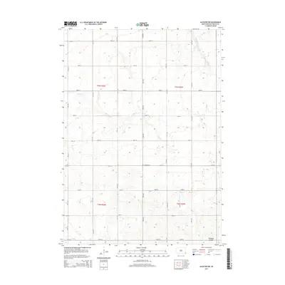
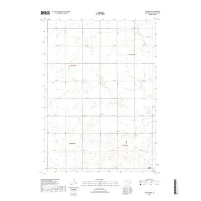
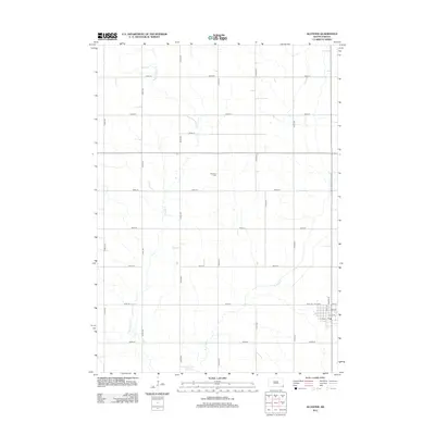 2012 Alcester2012 Print · USGSCovers Pleasant Township, including Alcester, Alcester Township, and other nearby areas
 - 2012 Map of Beresford, 2012 Print
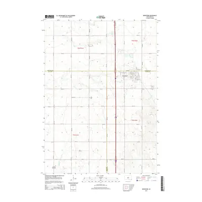
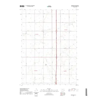
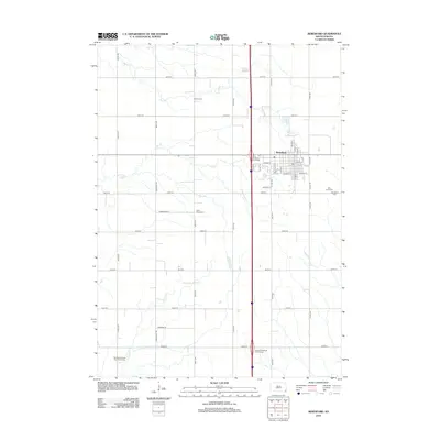 2012 Beresford2012 Print · USGSCovers Pleasant Township, including Beresford, Brooklyn Township, and other nearby areas
 - 2012 Map of Alcester NW, 2012 Print
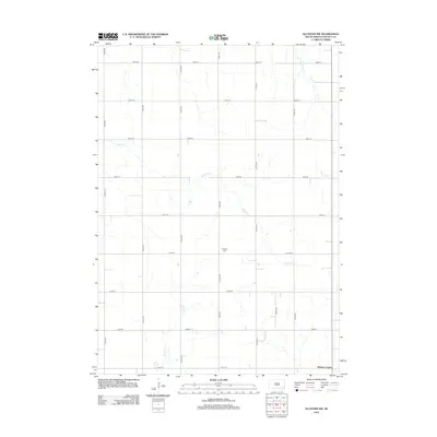 2012 Alcester NW2012 Print · USGSCovers Pleasant Township, including Highland Township, Lincoln Township, and other nearby areas
 - 2015 Map of Alcester NW, 2015 Print
 2015 Alcester NW2015 Print · USGSCovers Pleasant Township, including Highland Township, Lincoln Township, and other nearby areas
 - 2015 Map of Beresford NE, 2015 Print
 2015 Beresford NE2015 Print · USGSCovers Pleasant Township, including Brooklyn Township, Lincoln Township, and other nearby areas
 - 2015 Map of Beresford, 2015 Print
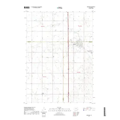
 2015 Beresford2015 Print · USGSCovers Pleasant Township, including Beresford, Brooklyn Township, and other nearby areas
 - 2015 Map of Alcester, 2015 Print
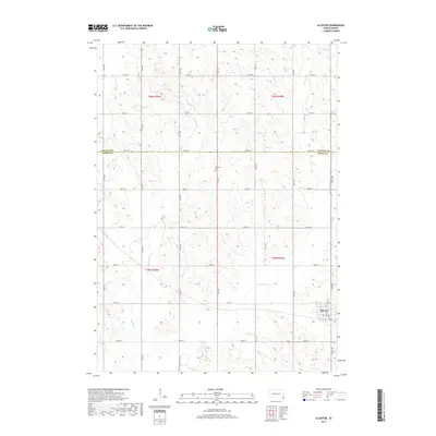
 2015 Alcester2015 Print · USGSCovers Pleasant Township, including Alcester, Alcester Township, and other nearby areas
 - 2017 Map of Alcester NW, 2017 Print
 2017 Alcester NW2017 Print · USGSCovers Pleasant Township, including Highland Township, Lincoln Township, and other nearby areas
 - 2017 Map of Beresford NE, 2017 Print
 2017 Beresford NE2017 Print · USGSCovers Pleasant Township, including Brooklyn Township, Lincoln Township, and other nearby areas
 - 2017 Map of Alcester, 2017 Print
 2017 Alcester2017 Print · USGSCovers Pleasant Township, including Alcester, Alcester Township, and other nearby areas
 - 2017 Map of Beresford, 2017 Print
 2017 Beresford2017 Print · USGSCovers Pleasant Township, including Beresford, Brooklyn Township, and other nearby areas
 - 2021 Map of Alcester, 2021 Print
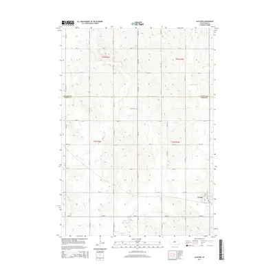
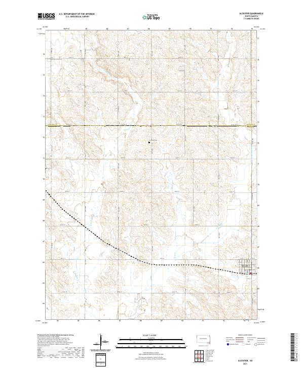 2021 Alcester2021 Print · USGSSoutheastern South Dakota’s agricultural heartland is documented here at the Lincoln and Union county line. Genealogists and local historians can trace the town layout of Alcester or locate rural landmarks like Gothland Cem and the forks of East Brule Creek.
 - 2021 Map of Alcester NW, 2021 Print
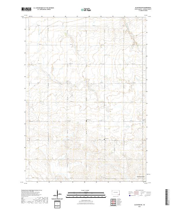 2021 Alcester NW2021 Print · USGSLincoln County farmland is captured here in the early twenty-first century, showing a landscape defined by traditional section-line roads and prairie creeks. Genealogists can locate rural landmarks like Norway Center, Tuntland Cem, and Romsdal Cem among the bends of Saddle Cr.
 - 2021 Map of Beresford, 2021 Print
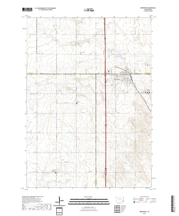 2021 Beresford2021 Print · USGSBeresford sits at a tri-county junction in southeastern South Dakota during the early 2020s. Genealogists can locate an unusual density of rural burial grounds such as Bonine Cem, Brooklyn Cem, and Danefield Seventh Day Advent Cem along the township lines.
 - 2021 Map of Beresford NE, 2021 Print
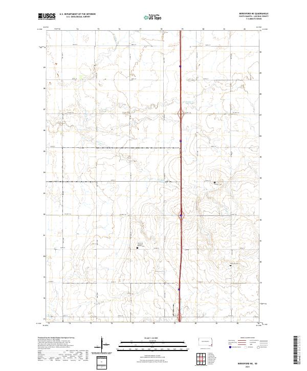 2021 Beresford NE2021 Print · USGSThe rural prairie landscape of Lincoln County appears in high detail during the early 2020s. Genealogists and local historians can locate long-standing community landmarks including Skrefsrud Lutheran Church Cem, Pioneer Cem, and the waters of Haram Cr.
End of results
Showing maps 1-25 of 25
Top cities near Pleasant Township
- Canton historical maps
- Lennox historical maps
- Beresford historical maps
- Worthing historical maps
- Centerville historical maps
- Alcester historical maps
See more
Frequently asked questions
- What are the different types of historical maps available for Pleasant Township?
- What is the oldest map of Pleasant Township?
- Where can I purchase historical maps of Pleasant Township for my home or office?
- Where can I download high-res historical maps of Pleasant Township?
- Are there historical topographic maps available for Pleasant Township?
- Is there historical aerial imagery available for Pleasant Township?
- Where are historical maps of Pleasant Township sourced from?