Old Maps of West Brule, South Dakota for Genealogy
Trace your family roots with 8 historic maps of West Brule. These high-res maps reveal old neighborhoods, homesites, landmarks, and streets — helping you uncover where your ancestors lived and how the area evolved over time.
- Explore historic neighborhoods: Identify where your relatives may have lived in the 1800s or 1900s.
- Compare maps over time: Trace the changes in streets, buildings, and landmarks for multi-generational research.
- Perfect for genealogy & ancestry research: Used by family historians and researchers to map out lineage and migration.
These maps are an incredible resource for exploring your personal connection to West Brule's past.
West Brule, SD maps
(8)- 1953 Map of Huron, 1959 Print
 1953 Huron1959 Print · USGSCentral South Dakota comes alive in the mid-1950s as a thriving rail and agricultural corridor between the Missouri and James Rivers. Trace the legacy of family farms and prairie towns like Huron, Faulkton, and Wessington Springs along the historic Chicago and North Western rail lines.3 unique versions available
 - 1954 Map of Huron, 1977 Print
 1954 Huron1977 Print · USGSCentral South Dakota was a landscape of grain elevators and river bends during the mid-fifties. Genealogists and historians can trace the development of the James River valley through railroad towns like Redfield and the sprawling Crow Creek Indian Reservation.
 - 1966 Map of Lower Brule SW, 1967 Print
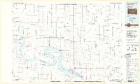
 1966 Lower Brule SW1967 Print · USGSLyman County, South Dakota is captured in the mid-sixties during the development of the Missouri River Basin. Genealogists and historians can trace local landmarks like Messiah Ch, Black Dog Sch, and the winding Medicine Creek.
 - 1985 Map of Big Bend Dam, 1986 Print
 1985 Big Bend Dam1986 Print · USGSThe Missouri River landscape of the mid-1980s is defined by the massive Big Bend Dam and the sprawling waters of Lake Sharpe. Genealogists and historians can trace reservation boundaries and rural outposts like Fort Thompson, Stephan, and the Miller Dale Colony.2 unique versions available
 - 2012 Map of Lower Brule SW, 2012 Print
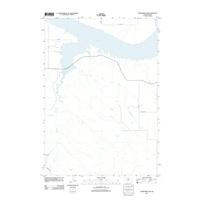 2012 Lower Brule SW2012 Print · USGSCovers West Brule, including Big Bend District, Hughes County, and other nearby areas
 - 2015 Map of Lower Brule SW, 2015 Print
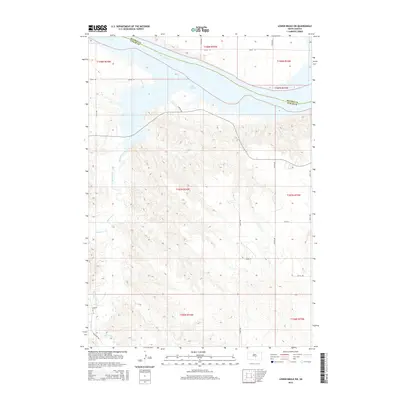 2015 Lower Brule SW2015 Print · USGSCovers West Brule, including Big Bend District, Hughes County, and other nearby areas
 - 2017 Map of Lower Brule SW, 2017 Print
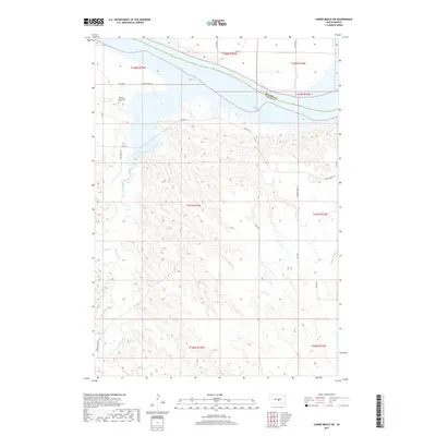 2017 Lower Brule SW2017 Print · USGSCovers West Brule, including Big Bend District, Hughes County, and other nearby areas
 - 2021 Map of Lower Brule SW, 2021 Print
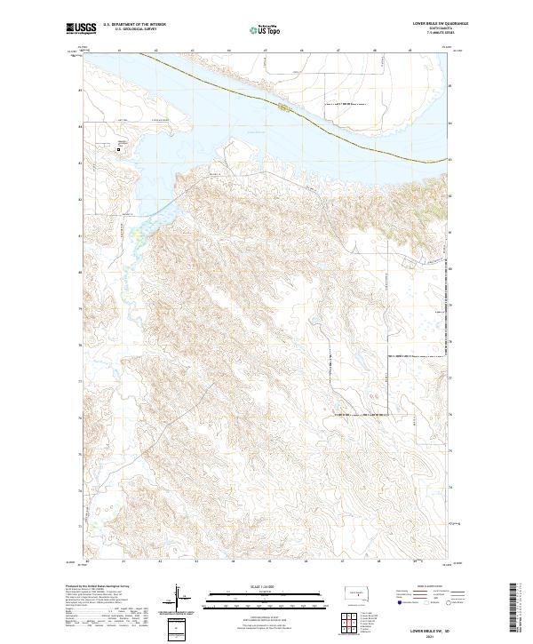 2021 Lower Brule SW2021 Print · USGSLyman County and the Missouri River bluffs are captured here in the early 2020s as the landscape follows the winding path of Medicine Creek. Researchers can trace local heritage and geography through landmarks like the Messiah Episcopal Cem, Bad Horse Cr, and N Iron Nation Rd.
End of results
Showing maps 1-8 of 8
Top cities near West Brule
Frequently asked questions
- What are the different types of historical maps available for West Brule?
- What is the oldest map of West Brule?
- Where can I purchase historical maps of West Brule for my home or office?
- Where can I download high-res historical maps of West Brule?
- Are there historical topographic maps available for West Brule?
- Is there historical aerial imagery available for West Brule?
- Where are historical maps of West Brule sourced from?