Old Maps of Montrose Township, South Dakota for Hiking & Exploration
Hike through history with 13 historic maps of Montrose Township. Explore old trails, ghost towns, and forgotten backroads — perfect for outdoor adventurers and local explorers.
- Rediscover forgotten places: Map out old mining camps, roads, and footpaths that no longer exist on modern maps.
- Layer with modern tools: Combine with LiDAR or satellite views to plan hikes through historical terrain.
- Made for exploration: Popular among hikers, overlanders, and local history lovers.
Use these maps to find adventure and explore the hidden past of Montrose Township.
Montrose Township, SD maps
(13)- 1955 Map of Sioux Falls, 1967 Print
 1955 Sioux Falls1967 Print · USGSThe eastern South Dakota and western Minnesota borderlands come alive in the mid-fifties, showing the vital rail-to-river connections of the era. Genealogists can trace family footprints across townships like Madison and Pipestone, while following the paths of the Big Sioux River and the Chicago and North Western line.3 unique versions available
 - 1958 Map of Sioux Falls
 1958 Sioux Falls1958 Print · USGSThe tri-state borderlands of South Dakota, Minnesota, and Iowa are captured here during the mid-century peak of the regional rail network. Genealogists and historians can trace local landmarks like Augustana Academy, the St Marys Cem, and the path of the Illinois Central through Rock Rapids.
 - 1964 Map of Montrose, 1966 Print
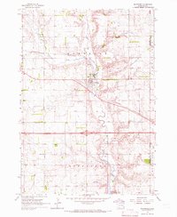 1964 Montrose1966 Print · USGSThe McCook County prairie centered on Montrose is captured here during the mid-1960s, showing a well-established network of farms and rail lines. Genealogists and local historians can locate St Patricks Cem, School No 39, and the winding East Fork Vermillion River.
 - 1968 Map of Lake Madison SW, 1970 Print
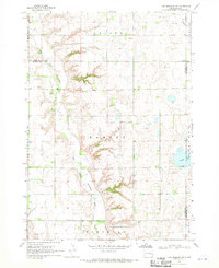 1968 Lake Madison SW1970 Print · USGSEastern McCook County and neighboring Lake County are shown in the late sixties as a landscape of river bends and rural townships. Researchers can find St Peters Ch, Ramsey Cem, and the old Townhall along the East Fork Vermillion River.
 - 1985 Map of Salem
 1985 Salem1985 Print · USGSEastern South Dakota’s prairie landscape is showcased in the mid-eighties, highlighting a region defined by agricultural colonies and rail-linked towns. Genealogists and historians can trace the foundations of Rosedale Colony, the Buffalo Trading Post, and early hubs like Salem.
 - 2012 Map of Lake Madison SW, 2012 Print
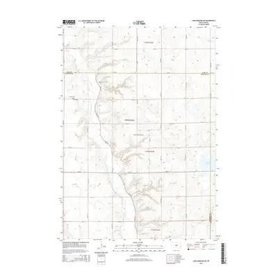
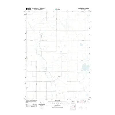 2012 Lake Madison SW2012 Print · USGSCovers Montrose Township, including Richland Township, Clear Lake Township, and other nearby areas
 - 2012 Map of Montrose, 2012 Print
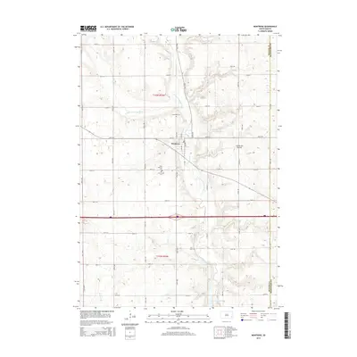
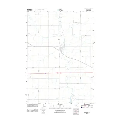 2012 Montrose2012 Print · USGSCovers Montrose Township, including Montrose, Richland Township, and other nearby areas
 - 2015 Map of Lake Madison SW, 2015 Print
 2015 Lake Madison SW2015 Print · USGSCovers Montrose Township, including Richland Township, Clear Lake Township, and other nearby areas
 - 2015 Map of Montrose, 2015 Print
 2015 Montrose2015 Print · USGSCovers Montrose Township, including Montrose, Richland Township, and other nearby areas
 - 2017 Map of Montrose, 2017 Print
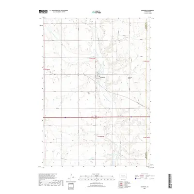 2017 Montrose2017 Print · USGSCovers Montrose Township, including Montrose, Richland Township, and other nearby areas
 - 2017 Map of Lake Madison SW, 2017 Print
 2017 Lake Madison SW2017 Print · USGSCovers Montrose Township, including Richland Township, Clear Lake Township, and other nearby areas
 - 2021 Map of Lake Madison SW, 2021 Print
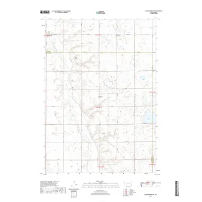
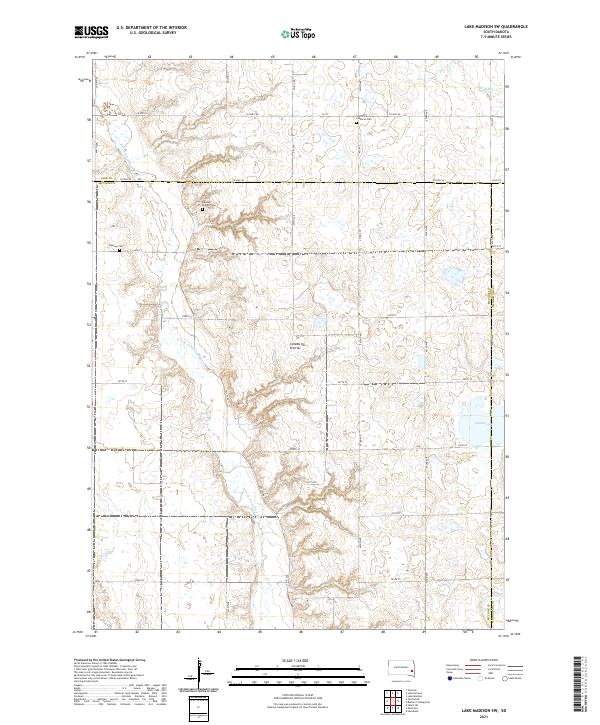 2021 Lake Madison SW2021 Print · USGSMcCook and Lake Counties are captured here in the early 2020s, showcasing the enduring rural grid of the Coteau des Prairies. Genealogists can locate family landmarks like the Ramsey Pioneer Cem and Saint Peter Lutheran Cem among the section roads.
 - 2021 Map of Montrose, 2021 Print
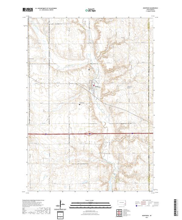 2021 Montrose2021 Print · USGSThe village of Montrose is captured in the early 2020s, centered at the confluence of the Little Vermillion River and the East Fork. Genealogists and local historians can trace the town's footprint and locate nearby sites like Saint Patrick's Catholic Cem and the Coteau des Prairies highlands.
End of results
Showing maps 1-13 of 13
Top cities near Montrose Township
- Hartford historical maps
- Salem historical maps
- Canistota historical maps
- Humboldt historical maps
- Montrose historical maps
- Franklin historical maps
See more
Top neighborhoods of Montrose Township
Frequently asked questions
- What are the different types of historical maps available for Montrose Township?
- What is the oldest map of Montrose Township?
- Where can I purchase historical maps of Montrose Township for my home or office?
- Where can I download high-res historical maps of Montrose Township?
- Are there historical topographic maps available for Montrose Township?
- Is there historical aerial imagery available for Montrose Township?
- Where are historical maps of Montrose Township sourced from?