2000s (21st Century) Maps of Montrose Township, South Dakota
Explore 8 historic maps of Montrose Township from the 2000s (21st Century). These maps offer a rare glimpse into what life looked like during the 2000s — showing old roads, neighborhoods, homes, and landmarks that have changed or disappeared over time.
Whether you're researching your family's past, planning a metal detecting trip, or studying how Montrose Township's landscape evolved across the 2000s, these high-resolution maps are a powerful tool for exploring the history of this region.
- Focus on a specific era: All maps on this page are from the 2000s, giving you a focused view of this time period.
- See what’s changed: Compare century-old streets, trails, and buildings to today's modern landscape using overlays and satellite layers.
- Research with precision: Use these maps for genealogy, historical research, land use analysis, or educational projects.
- View, download, or print: Maps are fully viewable online in high resolution, and can be downloaded or printed for your own records.
Start exploring Montrose Township's history through authentic maps from the 2000s. This is your window into the past.
Montrose Township, SD maps
(8)- 2012 Map of Lake Madison SW, 2012 Print
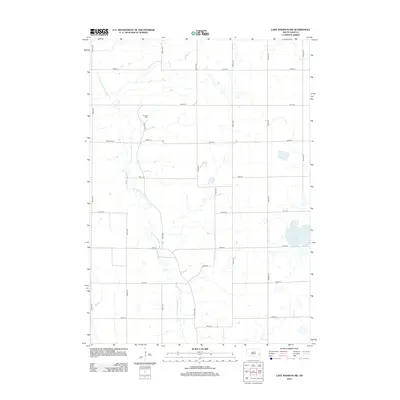 2012 Lake Madison SW2012 Print · USGSCovers Montrose Township, including Richland Township, Clear Lake Township, and other nearby areas
 - 2012 Map of Montrose, 2012 Print
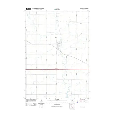 2012 Montrose2012 Print · USGSCovers Montrose Township, including Montrose, Richland Township, and other nearby areas
 - 2015 Map of Lake Madison SW, 2015 Print
 2015 Lake Madison SW2015 Print · USGSCovers Montrose Township, including Richland Township, Clear Lake Township, and other nearby areas
 - 2015 Map of Montrose, 2015 Print
 2015 Montrose2015 Print · USGSCovers Montrose Township, including Montrose, Richland Township, and other nearby areas
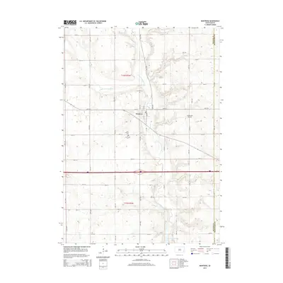
 - 2017 Map of Montrose, 2017 Print
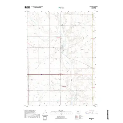 2017 Montrose2017 Print · USGSCovers Montrose Township, including Montrose, Richland Township, and other nearby areas
 - 2017 Map of Lake Madison SW, 2017 Print
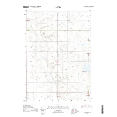 2017 Lake Madison SW2017 Print · USGSCovers Montrose Township, including Richland Township, Clear Lake Township, and other nearby areas
 - 2021 Map of Lake Madison SW, 2021 Print
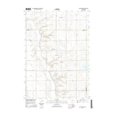
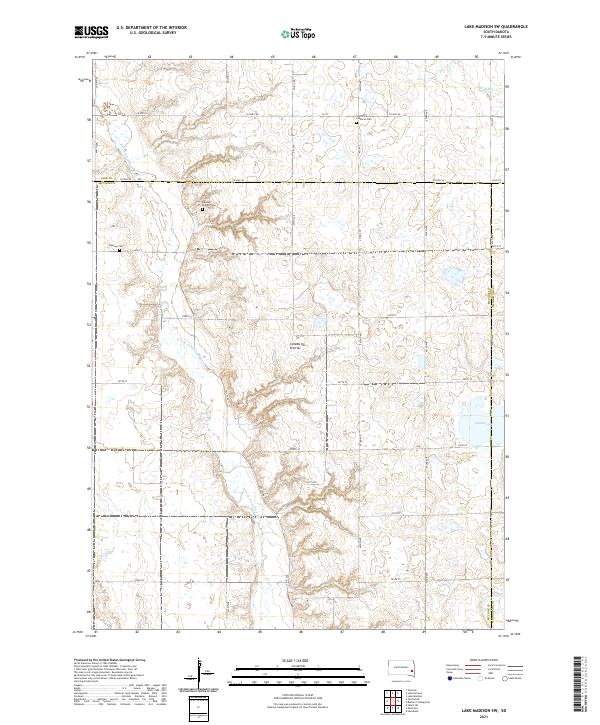 2021 Lake Madison SW2021 Print · USGSMcCook and Lake Counties are captured here in the early 2020s, showcasing the enduring rural grid of the Coteau des Prairies. Genealogists can locate family landmarks like the Ramsey Pioneer Cem and Saint Peter Lutheran Cem among the section roads.
 - 2021 Map of Montrose, 2021 Print
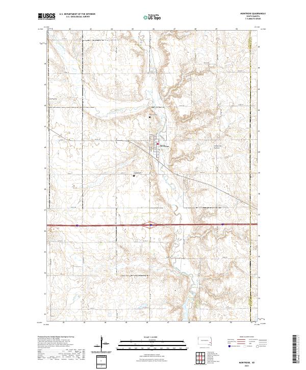 2021 Montrose2021 Print · USGSThe village of Montrose is captured in the early 2020s, centered at the confluence of the Little Vermillion River and the East Fork. Genealogists and local historians can trace the town's footprint and locate nearby sites like Saint Patrick's Catholic Cem and the Coteau des Prairies highlands.
End of results
Showing maps 1-8 of 8
Top cities near Montrose Township
- Hartford historical maps
- Salem historical maps
- Canistota historical maps
- Humboldt historical maps
- Montrose historical maps
- Franklin historical maps
See more
Top neighborhoods of Montrose Township
Frequently asked questions
- What are the different types of historical maps available for Montrose Township?
- What is the oldest map of Montrose Township?
- Where can I purchase historical maps of Montrose Township for my home or office?
- Where can I download high-res historical maps of Montrose Township?
- Are there historical topographic maps available for Montrose Township?
- Is there historical aerial imagery available for Montrose Township?
- Where are historical maps of Montrose Township sourced from?