2000s (21st Century) Maps of Pearl Township, South Dakota
Explore 8 historic maps of Pearl Township from the 2000s (21st Century). These maps offer a rare glimpse into what life looked like during the 2000s — showing old roads, neighborhoods, homes, and landmarks that have changed or disappeared over time.
Whether you're researching your family's past, planning a metal detecting trip, or studying how Pearl Township's landscape evolved across the 2000s, these high-resolution maps are a powerful tool for exploring the history of this region.
- Focus on a specific era: All maps on this page are from the 2000s, giving you a focused view of this time period.
- See what’s changed: Compare century-old streets, trails, and buildings to today's modern landscape using overlays and satellite layers.
- Research with precision: Use these maps for genealogy, historical research, land use analysis, or educational projects.
- View, download, or print: Maps are fully viewable online in high resolution, and can be downloaded or printed for your own records.
Start exploring Pearl Township's history through authentic maps from the 2000s. This is your window into the past.
Pearl Township, SD maps
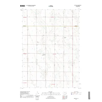
(8)- 2012 Map of Unityville, 2012 Print
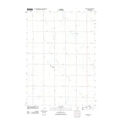 2012 Unityville2012 Print · USGSCovers Pearl Township, including Sun Prairie Township, Vermillion Township, and other nearby areas
 - 2012 Map of Canova SE, 2012 Print
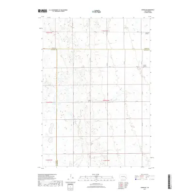
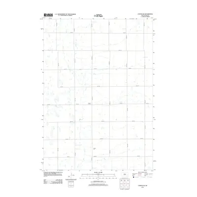 2012 Canova SE2012 Print · USGSCovers Pearl Township, including Edgerton Township, Rock Creek Township, and other nearby areas
 - 2015 Map of Canova SE, 2015 Print
 2015 Canova SE2015 Print · USGSCovers Pearl Township, including Edgerton Township, Rock Creek Township, and other nearby areas
 - 2015 Map of Unityville, 2015 Print
 2015 Unityville2015 Print · USGSCovers Pearl Township, including Sun Prairie Township, Vermillion Township, and other nearby areas
 - 2017 Map of Unityville, 2017 Print
 2017 Unityville2017 Print · USGSCovers Pearl Township, including Sun Prairie Township, Vermillion Township, and other nearby areas
 - 2017 Map of Canova SE, 2017 Print
 2017 Canova SE2017 Print · USGSCovers Pearl Township, including Edgerton Township, Rock Creek Township, and other nearby areas
 - 2021 Map of Unityville, 2021 Print
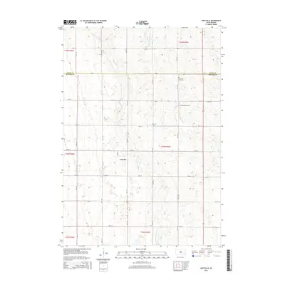
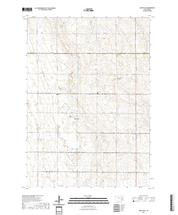 2021 Unityville2021 Print · USGSThe area around Unityville is shown here in the early twenty-first century, spanning the border of McCook and Miner Counties. Genealogists can locate several local burial sites including Sun Prairie Baptist Cem, Olsen Cem, and Unityville Cem.
 - 2021 Map of Canova SE, 2021 Print
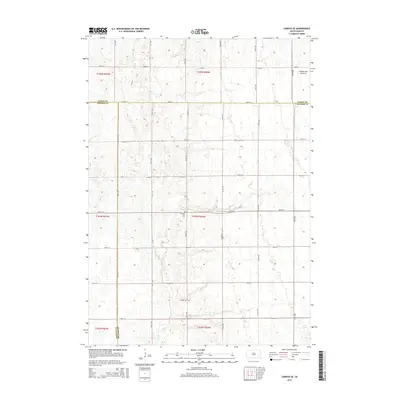
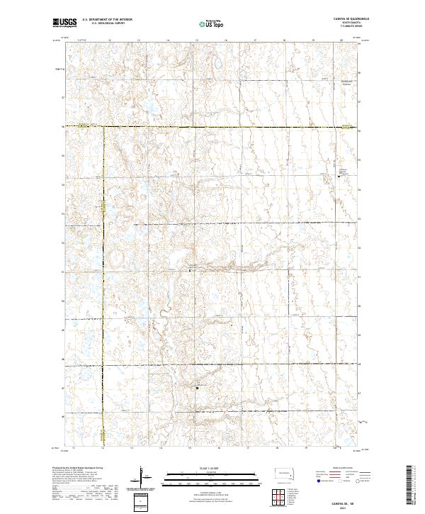 2021 Canova SE2021 Print · USGSEastern McCook County is surveyed in the early 2020s, showing the high-prairie terrain of the Coteau des Prairies. Researchers can find significant family history sites including the Immanuel Lutheran Church Cem and Pleasant Hill Cem along the rural road grid.
End of results
Showing maps 1-8 of 8
Top cities near Pearl Township
- Salem historical maps
- Howard historical maps
- Alexandria historical maps
- Emery historical maps
- Winfred historical maps
- Spencer historical maps
See more
Frequently asked questions
- What are the different types of historical maps available for Pearl Township?
- What is the oldest map of Pearl Township?
- Where can I purchase historical maps of Pearl Township for my home or office?
- Where can I download high-res historical maps of Pearl Township?
- Are there historical topographic maps available for Pearl Township?
- Is there historical aerial imagery available for Pearl Township?
- Where are historical maps of Pearl Township sourced from?