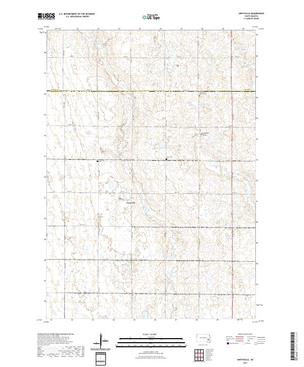
2021 Map of Unityville
USGS Topo · Published 2021About this map
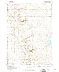
The community of Unityville sits at the heart of this agricultural landscape in McCook County, situated near the boundary where Miner Co meets McCook Co. The terrain is defined by the Coteau des Prairies, a high plateau that influences the local drainage patterns of the W Fork Vermillion River and the Little Vermillion River. These waterways meander through a grid of rural roads, such as Stark Rd and 437th Ave, which connect isolated homesteads and local landmarks.
Find a feature on this map
26 named features on this map. Tap any name to fly to it.
Don’t see what you’re looking for? This feature index may not catch every label — zoom into the map to look around manually.
Map Details
Editions of this 2021 Unityville Map
This is the sole edition of this map. No revisions or reprints were ever made.
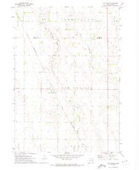
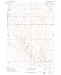
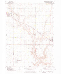
Historical Maps of Pearl Township Through Time
16 maps found
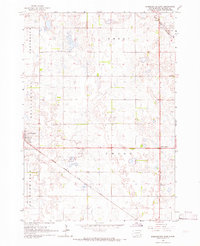
1964 Bridgewater East
McCook County, SD
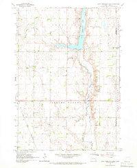
1964 East Vermillion Lake
McCook County, SD
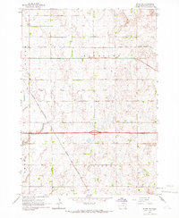
1964 Salem NE
McCook County, SD
1968 Lake Madison SW
McCook County, SD
1971 Unityville
McCook County, SD
1971 Winfred SE
McCook County, SD
1973 Bridgewater West
McCook County, SD
1973 Canova SE
McCook County, SD
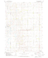
2021 Bridgewater East
McCook County, SD
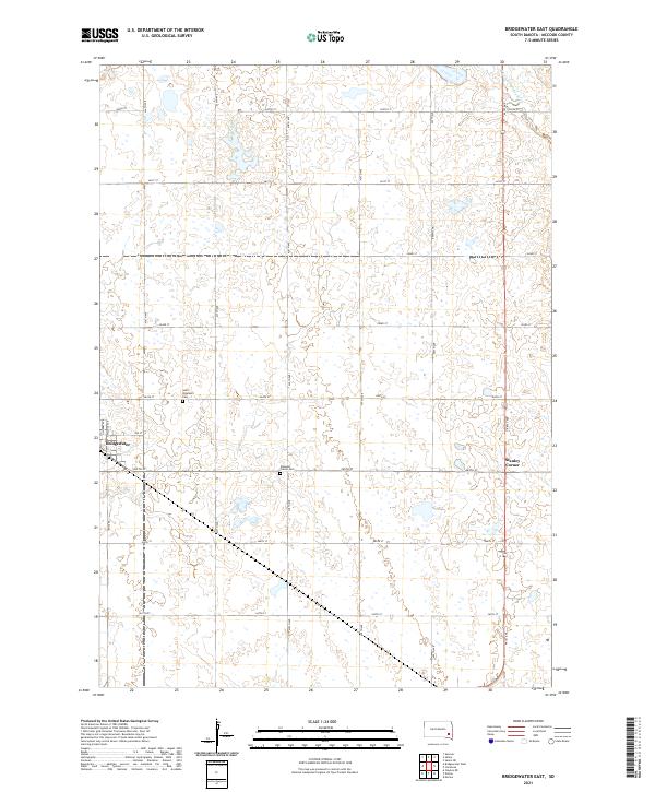
2021 Bridgewater West
McCook County, SD
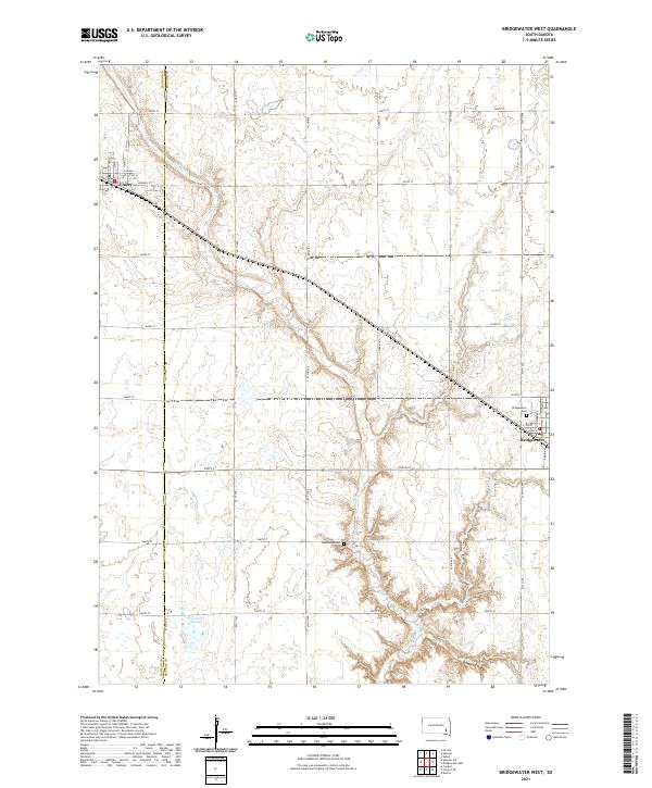
2021 Canova SE
McCook County, SD
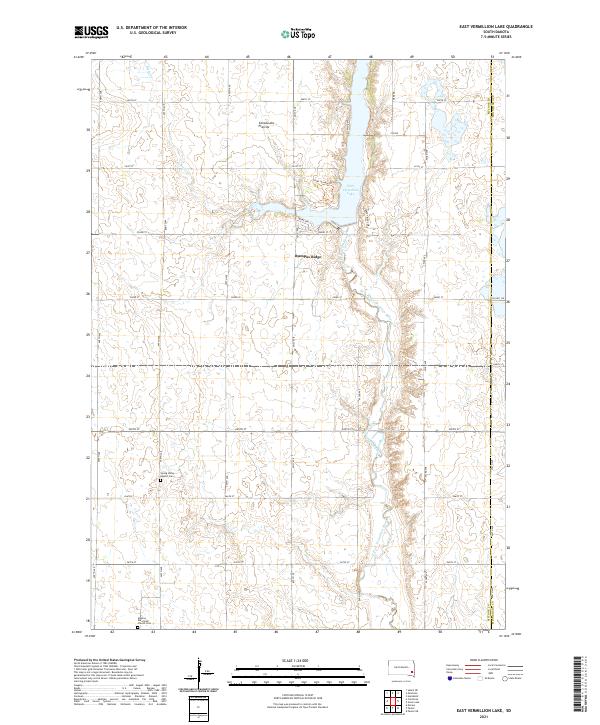
2021 East Vermillion Lake
McCook County, SD
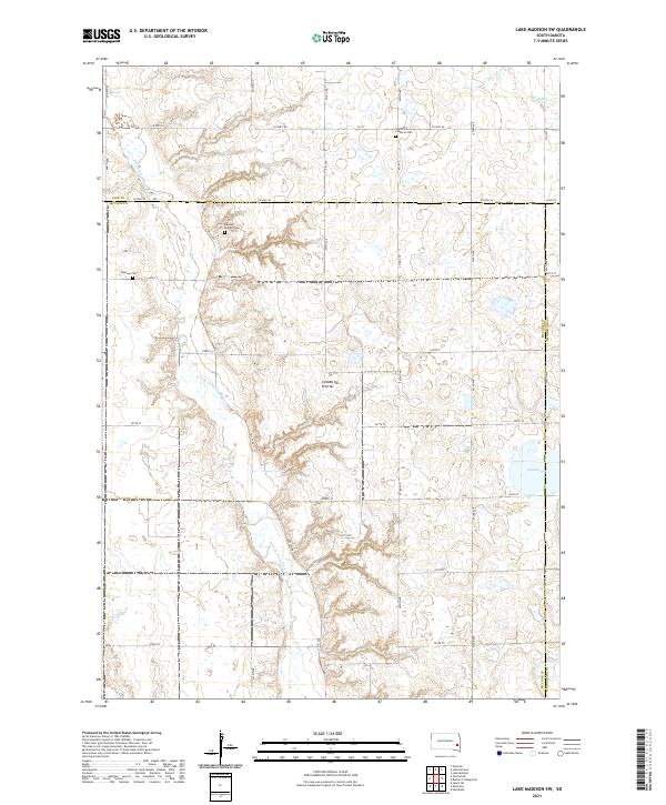
2021 Lake Madison SW
McCook County, SD
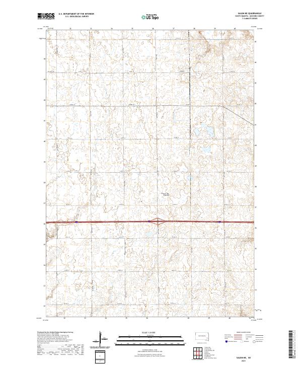
2021 Salem NE
McCook County, SD
2021 Unityville
McCook County, SD
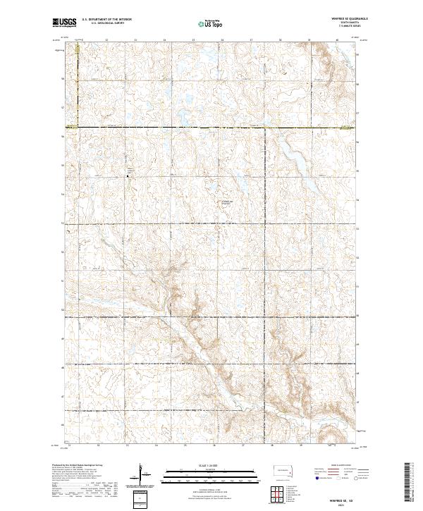
2021 Winfred SE
McCook County, SD
Featured Locations
- Vermillion Township, SD
- Canova Township, SD
- Pearl Township, SD
- Sun Prairie Township, SD
- Unityville, Sun Prairie Township