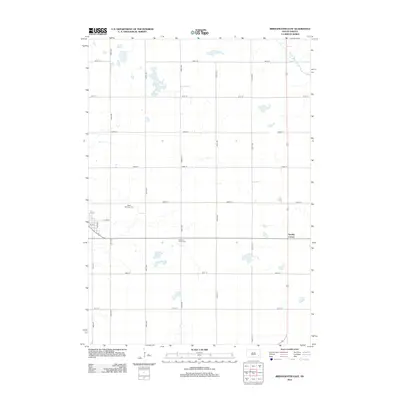
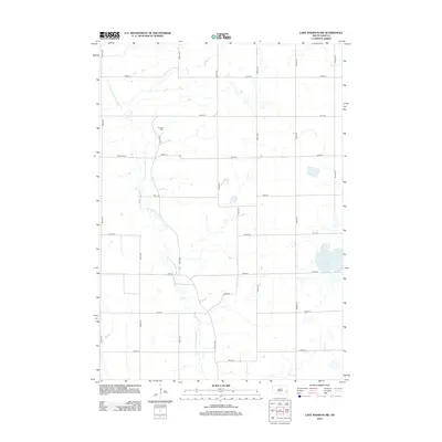
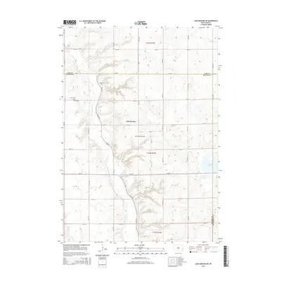
1971 Map of Unityville
USGS Topo · Published 1974About this map
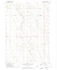
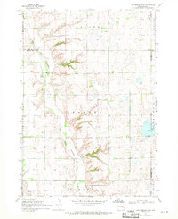
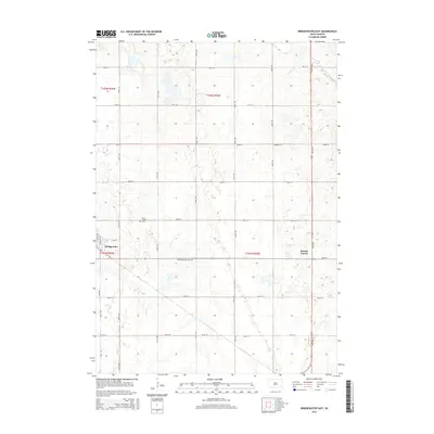
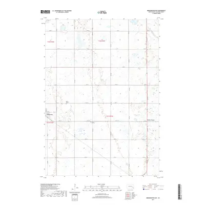
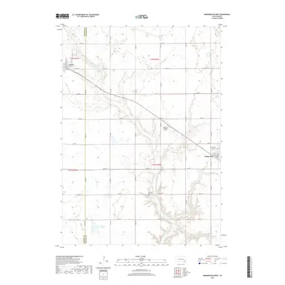
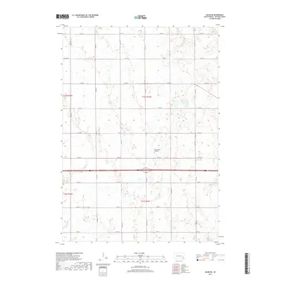
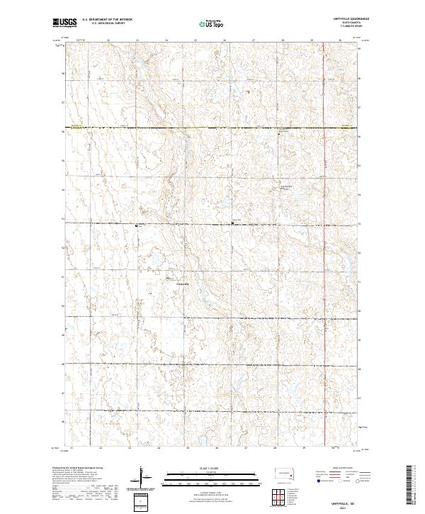
Unityville serves as the central hub of this agricultural landscape in the early 1970s, situated near the intersection of McCook and Miner counties. The township of Sun Prairie dominates the central portion of the map, where the Chicago and North Western railroad cuts a diagonal line across the prairie. The drainage of the West Fork Vermillion River and the Little Vermillion River creates a meandering network of riparian corridors through the otherwise orderly grid of section lines and township boundaries. Local social centers are anchored by rural institutions such as the Sun Prairie Ch and Evangelical Ch. The landscape is dotted with several Gravel Pits, indicating local industrial activity tied to the regions' geology, while small family or community markers like Olsen Cem provide critical points of interest for genealogists tracing South Dakota roots.
Find a feature on this map
17 named features on this map. Tap any name to fly to it.
Don’t see what you’re looking for? This feature index may not catch every label — zoom into the map to look around manually.
Map Details
Editions of this 1971 Unityville Map
This is the sole edition of this map. No revisions or reprints were ever made.
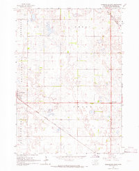
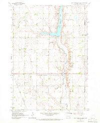
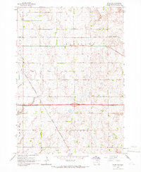
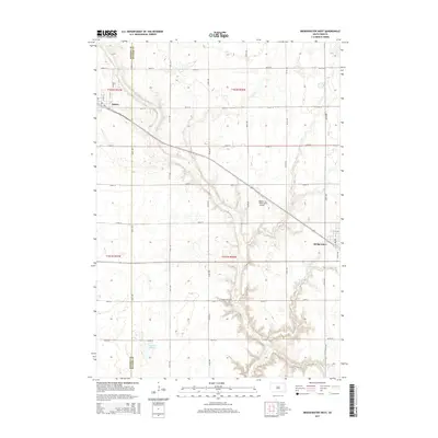
Historical Maps of Vermillion Township Through Time
40 maps found
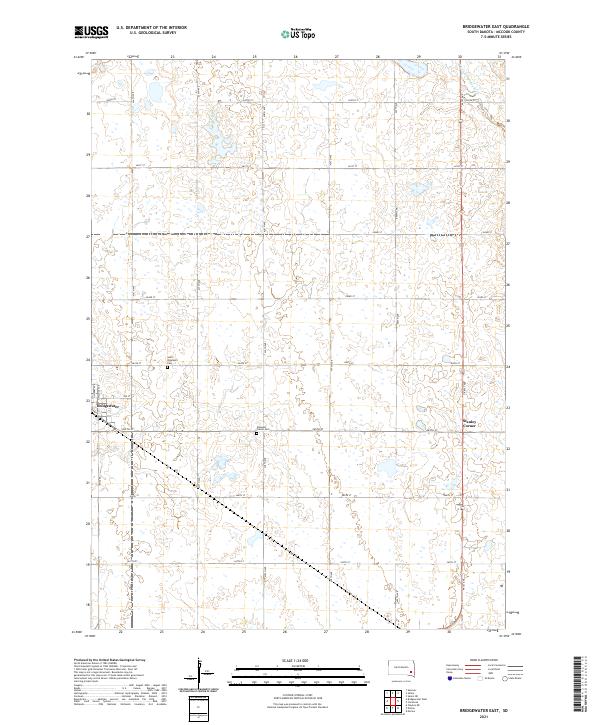
1964 Bridgewater East
McCook County, SD
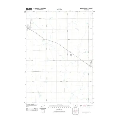
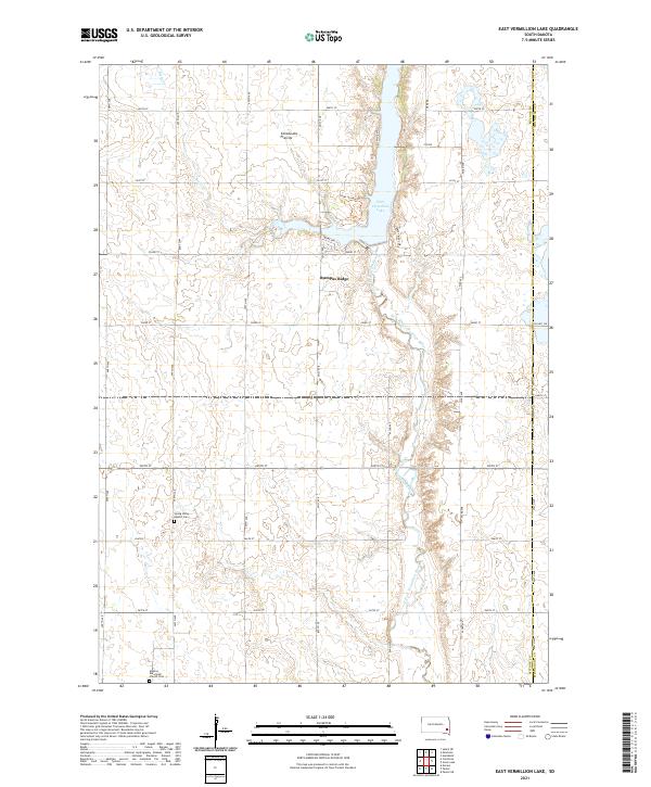
1964 East Vermillion Lake
McCook County, SD
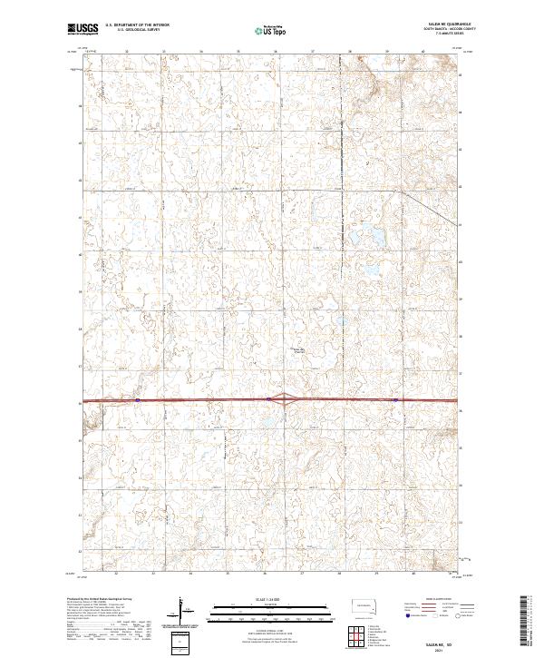
1964 Salem NE
McCook County, SD
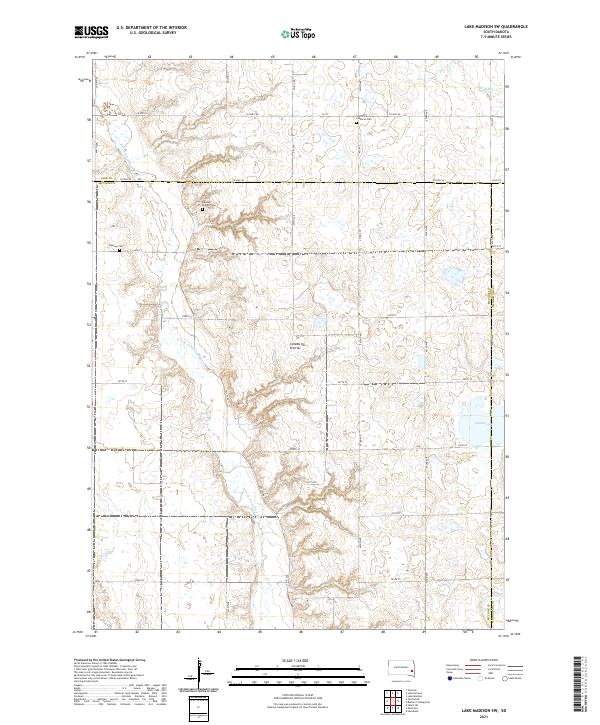
1968 Lake Madison SW
McCook County, SD
1971 Unityville
McCook County, SD
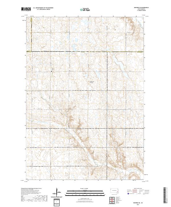
1971 Winfred SE
McCook County, SD
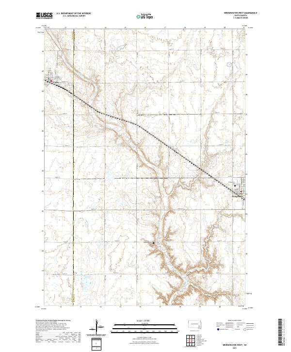
1973 Bridgewater West
McCook County, SD
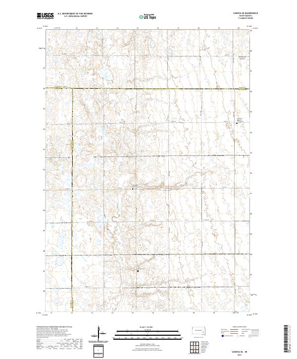
1973 Canova SE
McCook County, SD
2012 Bridgewater East
McCook County, SD
2012 Bridgewater West
McCook County, SD
2012 Canova SE
McCook County, SD
2012 East Vermillion Lake
McCook County, SD
2012 Lake Madison SW
McCook County, SD
2012 Salem NE
McCook County, SD
2012 Unityville
McCook County, SD
2012 Winfred SE
McCook County, SD
2015 Bridgewater East
McCook County, SD
2015 Bridgewater West
McCook County, SD
2015 Canova SE
McCook County, SD
2015 East Vermillion Lake
McCook County, SD
2015 Lake Madison SW
McCook County, SD
2015 Salem NE
McCook County, SD
2015 Unityville
McCook County, SD
2015 Winfred SE
McCook County, SD
2017 Bridgewater East
McCook County, SD
2017 Bridgewater West
McCook County, SD
2017 Canova SE
McCook County, SD
2017 East Vermillion Lake
McCook County, SD
2017 Lake Madison SW
McCook County, SD
2017 Salem NE
McCook County, SD
2017 Unityville
McCook County, SD
2017 Winfred SE
McCook County, SD
2021 Bridgewater East
McCook County, SD
2021 Bridgewater West
McCook County, SD
2021 Canova SE
McCook County, SD
2021 East Vermillion Lake
McCook County, SD
2021 Lake Madison SW
McCook County, SD
2021 Salem NE
McCook County, SD
2021 Unityville
McCook County, SD
2021 Winfred SE
McCook County, SD
Featured Locations
- Vermillion Township, SD
- Canova Township, SD
- Salem Township, SD
- Benton Township, SD
- Unityville, Sun Prairie Township