Old Maps of Haydraw, South Dakota for Academic Research
Study the evolution of Haydraw with 8 high-resolution historic maps. Whether you're teaching, researching, or modeling changes in land use, these maps provide essential visual documentation of urban, environmental, and geographic change.
- Analyze long-term change: Track patterns in development, transportation, and natural features.
- Ideal for environmental or urban studies: Support academic projects with primary historical map data.
- Use in the classroom or lab: Educators and researchers rely on these maps to bring historical context to life.
These maps are a powerful tool for teaching, research, and visualizing how Haydraw has changed over the decades.
Haydraw, SD maps
(8)- 1953 Map of Rapid City, 1964 Print
 1953 Rapid City1964 Print · USGSWestern South Dakota's transition from the Black Hills to the open prairie is captured here during the mid-fifties. Researchers can trace the development of Ellsworth Air Force Base alongside historic landmarks like Bear Butte and the Lower Alkali School.3 unique versions available
 - 1954 Map of Haydraw, 1956 Print
 1954 Haydraw1956 Print · USGSMeade County, South Dakota, is captured here in the mid-1950s during a period of Missouri River Basin development. Researchers can trace rural school locations like Prairie Sch and Union Center Sch, or locate the Haydraw Cem and the settlement of Haydraw.2 unique versions available
 - 1957 Map of Rapid City
 1957 Rapid City1957 Print · USGSWestern South Dakota in the mid-fifties reveals a landscape of high-altitude forests and growing military installations. Researchers can trace the development of Ellsworth Air Force Base, locate the Theodore Roosevelt Monument, and find rural landmarks like Lower Alkali School.
 - 1984 Map of New Underwood
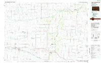 1984 New Underwood1984 Print · USGSPennington and Meade counties in the mid-1980s show a landscape of river-fed agriculture and prairie management. Genealogists and historians can trace rail and road development through New Underwood and Wasta or locate features like Elm Springs and Hubbard Hill.2 unique versions available
 - 2012 Map of Haydraw, 2012 Print
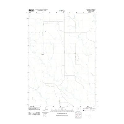 2012 Haydraw2012 Print · USGSMeade County, South Dakota, is depicted in the early 2010s as an open ranching landscape defined by its prairie drainages. Genealogists and local historians can locate the Haydraw Cem and trace the paths of Hay Cr and Hay Draw Rd through this rural community.
 - 2015 Map of Haydraw, 2015 Print
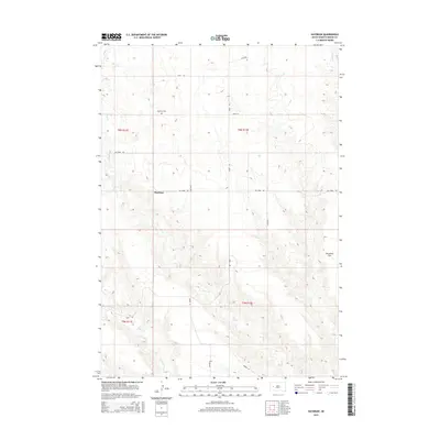 2015 Haydraw2015 Print · USGSIn the mid-2010s, this Meade County region centered on Haydraw remains a quintessential South Dakota ranching landscape. Genealogists and local historians can trace family locations near Haydraw Cem or along the drainage of Hay Cr.
 - 2017 Map of Haydraw, 2017 Print
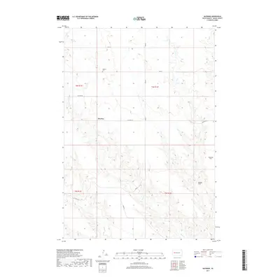 2017 Haydraw2017 Print · USGSMeade County, South Dakota, in the late twenty-teens remains a landscape of open prairie and rural homesteads. Genealogists and local historians can locate the Haydraw Cem or trace the drainage of Maddox Draw across Harwood Flat.
 - 2021 Map of Haydraw, 2021 Print
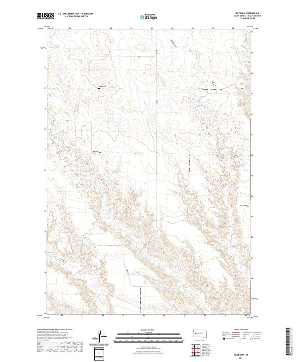 2021 Haydraw2021 Print · USGSThe open ranchlands of Meade County are documented here in the early twenty-first century, showing the enduring rural layout of the northern plains. Researchers can locate the Haydraw Cem and trace the paths of Hay Cr and Harwood Flat.
End of results
Showing maps 1-8 of 8
Frequently asked questions
- What are the different types of historical maps available for Haydraw?
- What is the oldest map of Haydraw?
- Where can I purchase historical maps of Haydraw for my home or office?
- Where can I download high-res historical maps of Haydraw?
- Are there historical topographic maps available for Haydraw?
- Is there historical aerial imagery available for Haydraw?
- Where are historical maps of Haydraw sourced from?