Old Maps of Stoneville, South Dakota for Academic Research
Study the evolution of Stoneville with 8 high-resolution historic maps. Whether you're teaching, researching, or modeling changes in land use, these maps provide essential visual documentation of urban, environmental, and geographic change.
- Analyze long-term change: Track patterns in development, transportation, and natural features.
- Ideal for environmental or urban studies: Support academic projects with primary historical map data.
- Use in the classroom or lab: Educators and researchers rely on these maps to bring historical context to life.
These maps are a powerful tool for teaching, research, and visualizing how Stoneville has changed over the decades.
Stoneville, SD maps
(8)- 1953 Map of Rapid City, 1964 Print
 1953 Rapid City1964 Print · USGSWestern South Dakota's transition from the Black Hills to the open prairie is captured here during the mid-fifties. Researchers can trace the development of Ellsworth Air Force Base alongside historic landmarks like Bear Butte and the Lower Alkali School.3 unique versions available
 - 1957 Map of Rapid City
 1957 Rapid City1957 Print · USGSWestern South Dakota in the mid-fifties reveals a landscape of high-altitude forests and growing military installations. Researchers can trace the development of Ellsworth Air Force Base, locate the Theodore Roosevelt Monument, and find rural landmarks like Lower Alkali School.
 - 1959 Map of Stoneville, 1960 Print
 1959 Stoneville1960 Print · USGSStoneville and the surrounding plains of Meade County are documented here during the late fifties. Local history researchers can trace the drainage of White Owl Creek and locate landmarks like Chalk Butte and the small settlement of Stoneville.
 - 1984 Map of Camp Creek
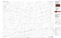 1984 Camp Creek1984 Print · USGSMeade County ranching country comes into focus in the mid-1980s, showcasing the remote settlements and airstrips of the South Dakota plains. Researchers can locate family landmarks like the Vig Ranch Landing Strip, the small community of Opal, and the high terrain of Fox Ridge.2 unique versions available
 - 2012 Map of Stoneville, 2012 Print
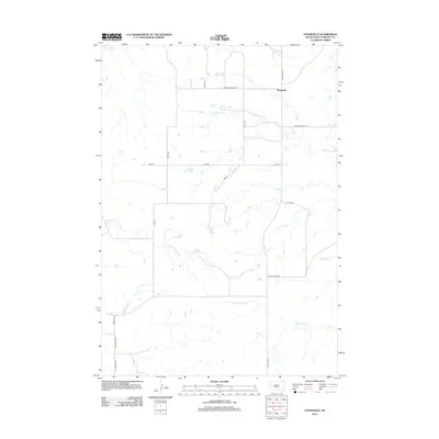 2012 Stoneville2012 Print · USGSMeade County rangeland comes into focus in the early twenty-first century, showing the small community of Stoneville and its surrounding prairie. Researchers can trace the drainage of White Owl Cr and find local landmarks like Chalk Butte Rd and Old Stoneville Rd.
 - 2015 Map of Stoneville, 2015 Print
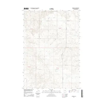 2015 Stoneville2015 Print · USGSMeade County ranching country is captured here in the mid-2010s, centered on the small community of Stoneville. Genealogists and researchers can trace local land divisions and rural routes like Old Stoneville Rd, Chalk Butte Rd, and the banks of Red Owl Cr.
 - 2017 Map of Stoneville, 2017 Print
 2017 Stoneville2017 Print · USGSMeade County, South Dakota, is depicted in the late twenty-teens as a rural landscape of prairie creeks and section-line roads. Researchers can trace the courses of Red Owl Cr and White Owl Cr or locate the remote settlement of Stoneville.
 - 2021 Map of Stoneville, 2021 Print
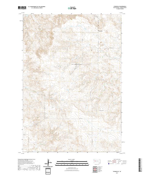 2021 Stoneville2021 Print · USGSMeade County rangeland remains centered on the small settlement of Stoneville in the early twenty-first century. Genealogists and local historians can trace family land via Chalk Butte Rd and drainage systems like Red Owl Cr or White Owl Cr.
End of results
Showing maps 1-8 of 8
Frequently asked questions
- What are the different types of historical maps available for Stoneville?
- What is the oldest map of Stoneville?
- Where can I purchase historical maps of Stoneville for my home or office?
- Where can I download high-res historical maps of Stoneville?
- Are there historical topographic maps available for Stoneville?
- Is there historical aerial imagery available for Stoneville?
- Where are historical maps of Stoneville sourced from?