Old Maps of Union Center, South Dakota for Hiking & Exploration
Hike through history with 8 historic maps of Union Center. Explore old trails, ghost towns, and forgotten backroads — perfect for outdoor adventurers and local explorers.
- Rediscover forgotten places: Map out old mining camps, roads, and footpaths that no longer exist on modern maps.
- Layer with modern tools: Combine with LiDAR or satellite views to plan hikes through historical terrain.
- Made for exploration: Popular among hikers, overlanders, and local history lovers.
Use these maps to find adventure and explore the hidden past of Union Center.
Union Center, SD maps
(8)- 1953 Map of Rapid City, 1964 Print
 1953 Rapid City1964 Print · USGSWestern South Dakota's transition from the Black Hills to the open prairie is captured here during the mid-fifties. Researchers can trace the development of Ellsworth Air Force Base alongside historic landmarks like Bear Butte and the Lower Alkali School.3 unique versions available
 - 1957 Map of Rapid City
 1957 Rapid City1957 Print · USGSWestern South Dakota in the mid-fifties reveals a landscape of high-altitude forests and growing military installations. Researchers can trace the development of Ellsworth Air Force Base, locate the Theodore Roosevelt Monument, and find rural landmarks like Lower Alkali School.
 - 1959 Map of Union Center, 1960 Print
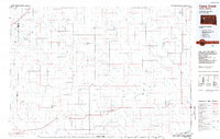
 1959 Union Center1960 Print · USGSMeade County ranching country is captured here in the late fifties, centered on the small rural crossroads of Union Center. Researchers can locate the South Pleasant View Sch and early ranch sites like the M P Ranch along East Elm Creek.
 - 1984 Map of Camp Creek
 1984 Camp Creek1984 Print · USGSMeade County ranching country comes into focus in the mid-1980s, showcasing the remote settlements and airstrips of the South Dakota plains. Researchers can locate family landmarks like the Vig Ranch Landing Strip, the small community of Opal, and the high terrain of Fox Ridge.2 unique versions available
 - 2012 Map of Union Center, 2012 Print
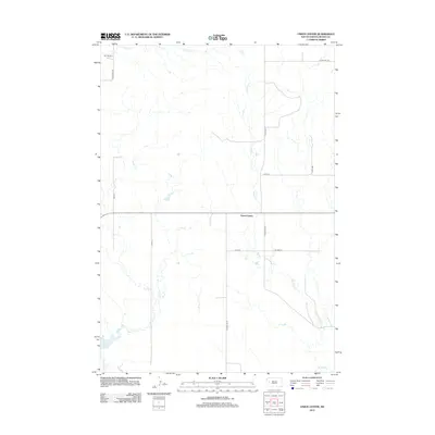 2012 Union Center2012 Print · USGSCovers Union Center, including Meade County, United States, and other nearby areas
 - 2015 Map of Union Center, 2015 Print
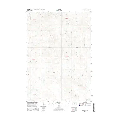 2015 Union Center2015 Print · USGSCovers Union Center, including Meade County, United States, and other nearby areas
 - 2017 Map of Union Center, 2017 Print
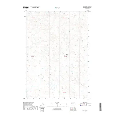 2017 Union Center2017 Print · USGSCovers Union Center, including Meade County, United States, and other nearby areas
 - 2021 Map of Union Center, 2021 Print
 2021 Union Center2021 Print · USGSUnion Center and the surrounding Meade County prairie are captured here in the early twenty-first century. Local historians can trace the paths of Hay Creek and W Bull Cr or locate specific holdings near Chalk Butte Rd and Union Center.
End of results
Showing maps 1-8 of 8
Frequently asked questions
- What are the different types of historical maps available for Union Center?
- What is the oldest map of Union Center?
- Where can I purchase historical maps of Union Center for my home or office?
- Where can I download high-res historical maps of Union Center?
- Are there historical topographic maps available for Union Center?
- Is there historical aerial imagery available for Union Center?
- Where are historical maps of Union Center sourced from?