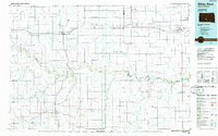
Old Maps of Horse Creek Segment, South Dakota for Hiking & Exploration
Hike through history with 46 historic maps of Horse Creek Segment. Explore old trails, ghost towns, and forgotten backroads — perfect for outdoor adventurers and local explorers.
- Rediscover forgotten places: Map out old mining camps, roads, and footpaths that no longer exist on modern maps.
- Layer with modern tools: Combine with LiDAR or satellite views to plan hikes through historical terrain.
- Made for exploration: Popular among hikers, overlanders, and local history lovers.
Use these maps to find adventure and explore the hidden past of Horse Creek Segment.
Horse Creek Segment, SD maps
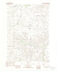
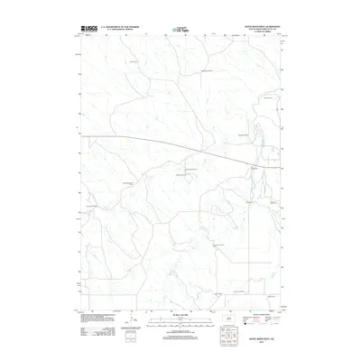
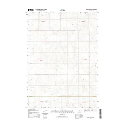
(46)- 1955 Map of Martin, 1968 Print
 1955 Martin1968 Print · USGSTribal lands and rail corridors define the South Dakota plains in the mid-fifties, from the sand hills to the badlands. Genealogists and historians can trace the early layout of Pine Ridge Indian Reservation settlements and find small rail towns like Stamford and Witten.2 unique versions available
 - 1958 Map of Martin
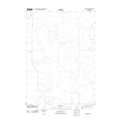
 1958 Martin1958 Print · USGSSouth Dakota's southern plains are documented here in the late fifties, showing the expansive Pine Ridge and Rosebud Indian Reservations. Genealogists and historians can locate early settlements along the Chicago Milwaukee St Paul and Pacific line or find family roots near Martin and the Indian Cemetery.
 - 1969 Map of Soldier Creek NE, 1971 Print
 1969 Soldier Creek NE1971 Print · USGSThe South Dakota prairie meets the winding Little White River in the late sixties along the Rosebud Indian Reservation. Genealogists and researchers can trace local family landmarks like Ring Thunder Sacred Heart Cem and St John Cem across the northern plains.
 - 1969 Map of Parmelee NE, 1971 Print
 1969 Parmelee NE1971 Print · USGSThe northern reaches of the Rosebud Reservation are captured here in the late sixties, showing a landscape defined by prairie drainage and ranching life. Genealogists and historians can trace local landmarks such as St Johns Ch, the Cem, and the small settlement of Gray.
 - 1969 Map of Mission NW, 1971 Print
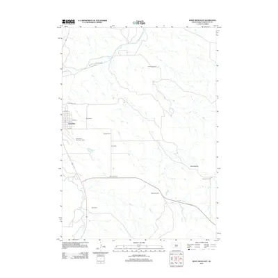
 1969 Mission NW1971 Print · USGSThe rural prairie landscape of Mellette County was surveyed in the late 1960s as it appeared before many modern shifts. Genealogists and researchers can trace community landmarks like St James Chapel, Body of Christ Cem, and the Neville Sch near the Horse Creek drainage.
 - 1969 Map of Soldier Creek NW, 1971 Print
 1969 Soldier Creek NW1971 Print · USGSThe Rosebud Indian Reservation landscape in the late sixties reveals a network of rural schools and family-centered landmarks across Mellette and Todd Counties. Researchers can locate the Holy Family Cem, Ring Thunder Sch, and the settlement at Graves.
 - 1980 Map of Kadoka
 1980 Kadoka1980 Print · USGSWestern South Dakota's open plains and Badlands are captured here in the early eighties, showcasing a region defined by its railroads and reservations. Researchers can trace the routes of the Chicago and North Western or locate local landmarks like Kadoka Lake and Wanblee.
 - 1981 Map of Cedar Butte
 1981 Cedar Butte1981 Print · USGSThe South Dakota prairie at the start of the eighties is captured here, detailing the rural landscape of Mellette and Jackson counties. Local researchers can trace family landmarks and community sites like Stands For Them Cem, Running Bird Sch, and St Thomas Ch.
 - 1982 Map of Murdo 3 NW
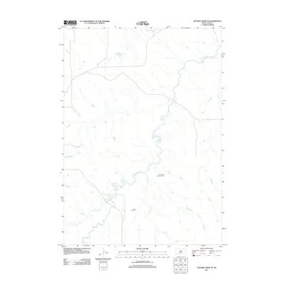
 1982 Murdo 3 NW1982 Print · USGSMellette County ranching life is preserved here in the early eighties, showing a landscape defined by cattle operations and wide drainage basins. Genealogists can locate family holdings like the Lyle Chamberlain Ranch, Shouldis Ranch, and Nielson Ranch.2 unique versions available
 - 1982 Map of White River East
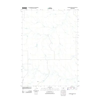
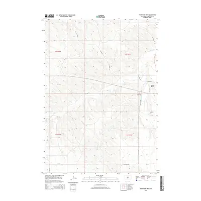
 1982 White River East1982 Print · USGSMellette County ranching country is captured here in the early eighties, centered on the community of White River. Local historians and genealogists can trace family landholdings such as Hutchinson Ranch, Didier Ranch, and Ellis Ranch along the Little White River.
 - 1982 Map of White River West
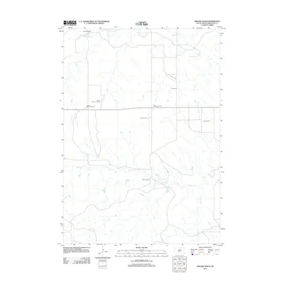
 1982 White River West1982 Print · USGSMellette County ranching and water management are front and center in this early 1980s landscape near the White River confluence. Trace family lands such as the Risseuw Ranch alongside infrastructure like the Small Power Plant and Saint Ignatius Cem.
 - 1982 Map of Mission, 1983 Print
 1982 Mission1983 Print · USGSThe Rosebud Reservation in the early eighties shows a landscape of plains communities and aviation outposts. Genealogists and researchers can trace local centers like Mission, Rosebud, and St Francis, or locate family landmarks near Antelope Lake and the Keya Paha River.
 - 1983 Map of Martin
 1983 Martin1983 Print · USGSBennett County and the neighboring tribal lands appear here in the early eighties as a network of High Plains settlements and conservation areas. Researchers can trace tribal boundaries and local genealogy through sites like Pine Ridge Indian Reservation, Long Valley, and Arnold Ranch.
 - 1985 Map of White River, 1986 Print
 1985 White River1986 Print · USGSSouth-central South Dakota comes into focus during the mid-eighties as a critical junction of rail and river life. Researchers can trace the Chicago and North Western line through high-plains towns like Murdo and Presho or locate rural landmarks such as Stony Butte and Fate Dam.2 unique versions available
 - 2012 Map of Parmelee NE, 2012 Print
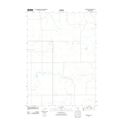 2012 Parmelee NE2012 Print · USGSCovers Horse Creek Segment, including Parmelee, Black Pipe Segment, and other nearby areas
 - 2012 Map of Cedar Butte, 2012 Print
 2012 Cedar Butte2012 Print · USGSCovers Horse Creek Segment, including Swift Bear Segment, Cedar Butte, and other nearby areas
 - 2012 Map of Soldier Creek NE, 2012 Print
 2012 Soldier Creek NE2012 Print · USGSCovers Horse Creek Segment, including Antelope Segment, Ring Thunder Segment, and other nearby areas
 - 2012 Map of White River East, 2012 Print
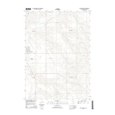
 2012 White River East2012 Print · USGSCovers Horse Creek Segment, including White River, Swift Bear Segment, and other nearby areas
 - 2012 Map of Soldier Creek NW, 2012 Print
 2012 Soldier Creek NW2012 Print · USGSCovers Horse Creek Segment, including Parmelee, Soldier Creek Segment, and other nearby areas
 - 2012 Map of Nielson Ranch, 2012 Print
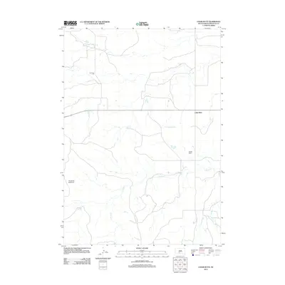
 2012 Nielson Ranch2012 Print · USGSCovers Horse Creek Segment, including Swift Bear Segment, Mellette County, and other nearby areas
 - 2012 Map of White River West, 2012 Print
 2012 White River West2012 Print · USGSCovers Horse Creek Segment, including White River, Swift Bear Segment, and other nearby areas
 - 2012 Map of Mission NW, 2012 Print
 2012 Mission NW2012 Print · USGSCovers Horse Creek Segment, including Antelope Segment, Butte Creek Segment, and other nearby areas
 - 2015 Map of White River West, 2015 Print
 2015 White River West2015 Print · USGSCovers Horse Creek Segment, including White River, Swift Bear Segment, and other nearby areas
 - 2015 Map of White River East, 2015 Print
 2015 White River East2015 Print · USGSCovers Horse Creek Segment, including White River, Swift Bear Segment, and other nearby areas
 - 2015 Map of Soldier Creek NW, 2015 Print
 2015 Soldier Creek NW2015 Print · USGSCovers Horse Creek Segment, including Parmelee, Soldier Creek Segment, and other nearby areas
Showing maps 1-25 of 46
Top cities near Horse Creek Segment
Top neighborhoods of Horse Creek Segment
Frequently asked questions
- What are the different types of historical maps available for Horse Creek Segment?
- What is the oldest map of Horse Creek Segment?
- Where can I purchase historical maps of Horse Creek Segment for my home or office?
- Where can I download high-res historical maps of Horse Creek Segment?
- Are there historical topographic maps available for Horse Creek Segment?
- Is there historical aerial imagery available for Horse Creek Segment?
- Where are historical maps of Horse Creek Segment sourced from?