2020s Maps of Swift Bear Segment, South Dakota
Explore 14 historic maps of Swift Bear Segment from the 2020s. These maps offer a rare glimpse into what life looked like during the 2020s — showing old roads, neighborhoods, homes, and landmarks that have changed or disappeared over time.
Whether you're researching your family's past, planning a metal detecting trip, or studying how Swift Bear Segment's landscape evolved across the 2020s, these high-resolution maps are a powerful tool for exploring the history of this region.
- Focus on a specific era: All maps on this page are from the 2020s, giving you a focused view of this time period.
- See what’s changed: Compare century-old streets, trails, and buildings to today's modern landscape using overlays and satellite layers.
- Research with precision: Use these maps for genealogy, historical research, land use analysis, or educational projects.
- View, download, or print: Maps are fully viewable online in high resolution, and can be downloaded or printed for your own records.
Start exploring Swift Bear Segment's history through authentic maps from the 2020s. This is your window into the past.
Swift Bear Segment, SD maps
(14)- 2021 Map of Stamford SE, 2021 Print
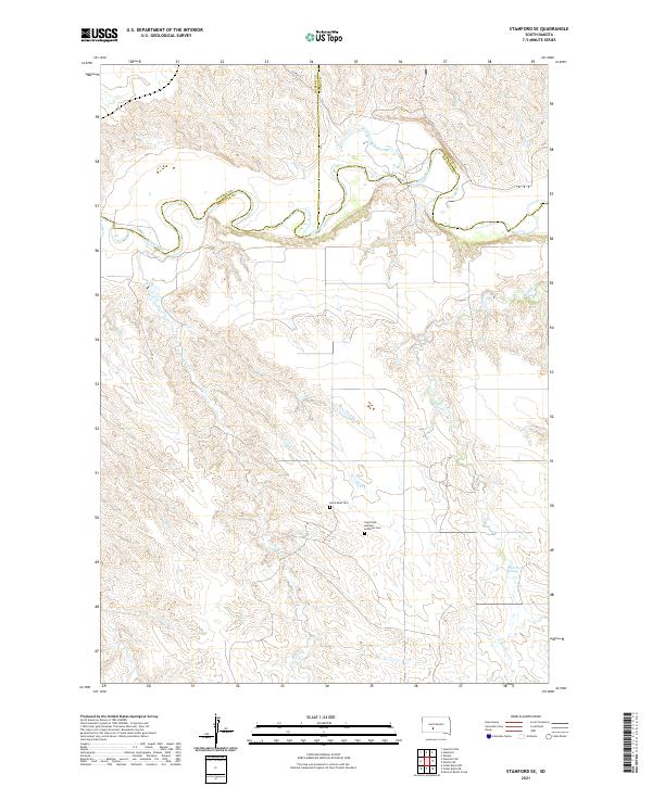 2021 Stamford SE2021 Print · USGSThe northern Mellette County plains are captured here in the early twenty-first century, centered on the winding bends of the White River. Family historians can locate remote landmarks like the Saint Paul German Lutheran Cem and White Horse Springs.
 - 2021 Map of Head of Butch Creek, 2021 Print
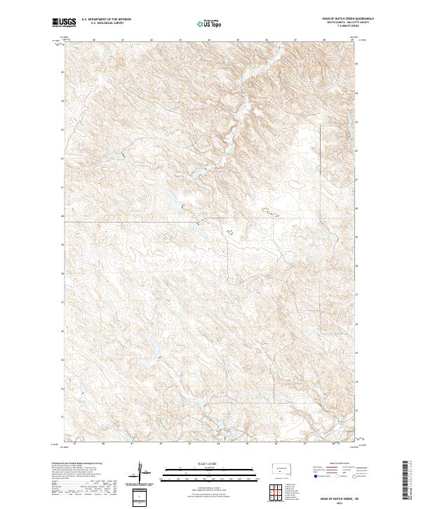 2021 Head of Butch Creek2021 Print · USGSMellette County is shown in the early 2020s as a landscape of prairie drainages and quiet section lines. Researchers can trace the winding headwaters of Butch Creek, Roundup Creek, and Cottonwood Creek across the township grids.
 - 2021 Map of Nielson Ranch, 2021 Print
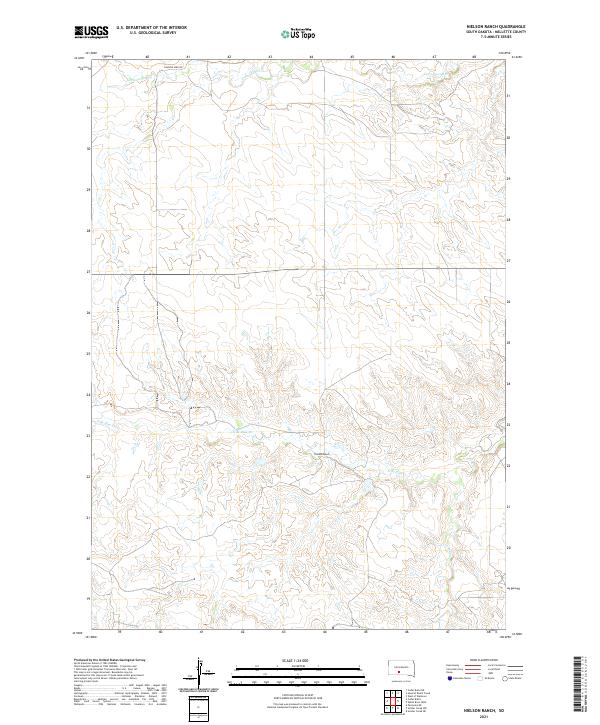 2021 Nielson Ranch2021 Print · USGSThe South Dakota prairie in Mellette County remains a landscape of sprawling ranch land and winding creek beds in this recent survey. Researchers can trace land boundaries near Nielson Ranch and follow the paths of Running Bird Rd and N Br Pine Cr.
 - 2021 Map of Cedar Butte NE, 2021 Print
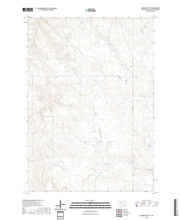 2021 Cedar Butte NE2021 Print · USGSMellette County is shown here in the early 2020s, preserving a landscape of open prairie and essential watercourses. Researchers can trace the winding paths of Larvie Cr and Cottonwood Cr or follow rural routes like Running Bird Rd.
 - 2021 Map of Cedar Butte, 2021 Print
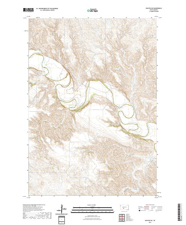
 2021 Cedar Butte2021 Print · USGSMellette County is documented in the modern era as a landscape of isolated geological landmarks and remote prairie settlements. Researchers can locate the Cedarbutte Cem and trace the contours of The Devils Backbone and Devils Gate.
 - 2021 Map of Okaton SW, 2021 Print
 2021 Okaton SW2021 Print · USGSThe rural border of Jones and Mellette Counties is defined here by the winding course of the White River in the early 2020s. Researchers can trace the rugged drainage patterns of Cottonwood Cr, Cedar Cr, and Yukon Cr as they feed into the river valley.
 - 2021 Map of Okaton SE, 2021 Print
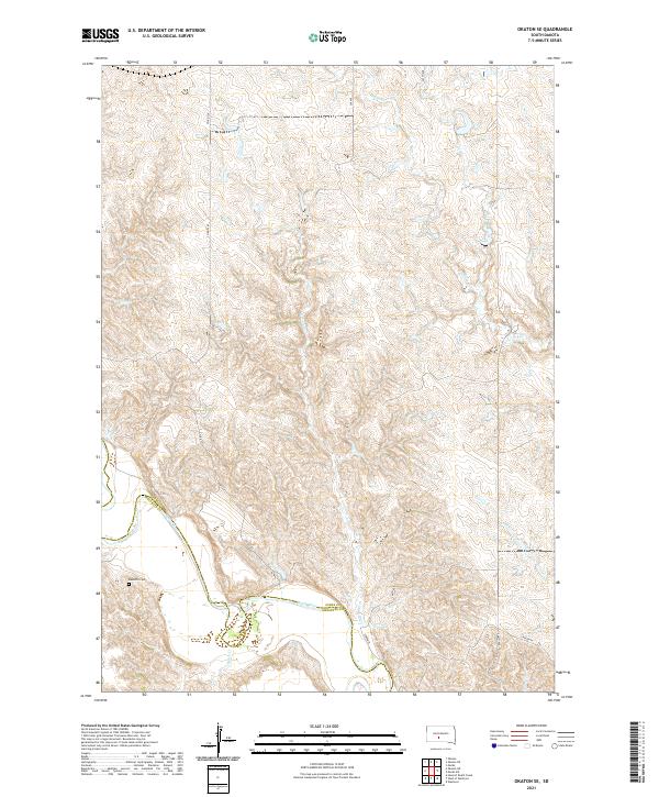 2021 Okaton SE2021 Print · USGSJones and Mellette counties appear here as a quiet expanse of plains and river breaks in the early 2020s. Genealogists and local historians can locate the Barnette Cem and trace the winding course of the White River near Lerdahl Pl.
 - 2021 Map of Westover, 2021 Print
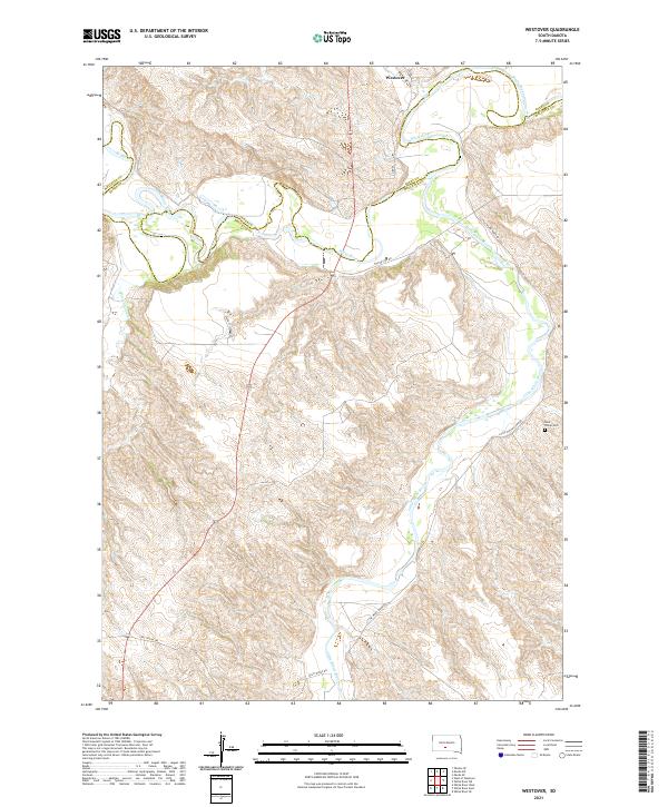 2021 Westover2021 Print · USGSThe rural landscapes of Mellette County are captured here at the start of the 2020s, centered on the White River valley. Genealogists and local historians can locate the Saint Phillip Cem and trace old prairie routes like Two Kettle Rd and Gusty Ridge Rd.
 - 2021 Map of White River West, 2021 Print
 2021 White River West2021 Print · USGSMellette County is documented here in the early 2020s, centered on the western environs of the White River settlement. Family historians can trace local landmarks and burial sites including White River Cem, Saint Ignatius Cem, and the path of the Little White River.
 - 2021 Map of White River NE, 2021 Print
 2021 White River NE2021 Print · USGSMellette and Jones Counties are captured here in the early 2020s, showcasing the winding White River and its tributary systems. Researchers can trace the path of Kaiser Creek and locate remote travel routes like Yellow Eagle Road across the prairie.
 - 2021 Map of West of Westover, 2021 Print
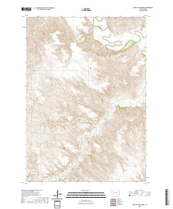 2021 West of Westover2021 Print · USGSThe broken plains of Mellette County are captured in this recent survey, showing the complex drainage systems of the White River valley. Researchers can trace the winding paths of Butch Cr and Cottonwood Cr through the distinct topography of the region.
 - 2021 Map of White River East, 2021 Print
 2021 White River East2021 Print · USGSThe community of White River sits along its namesake waterway during the early 2020s, serving as a vital regional center in Mellette County. Genealogists and local historians can trace the town layout near the Mellette County Courthouse or locate outlying routes like Red Shirt Rd.
 - 2021 Map of Murdo SE, 2021 Print
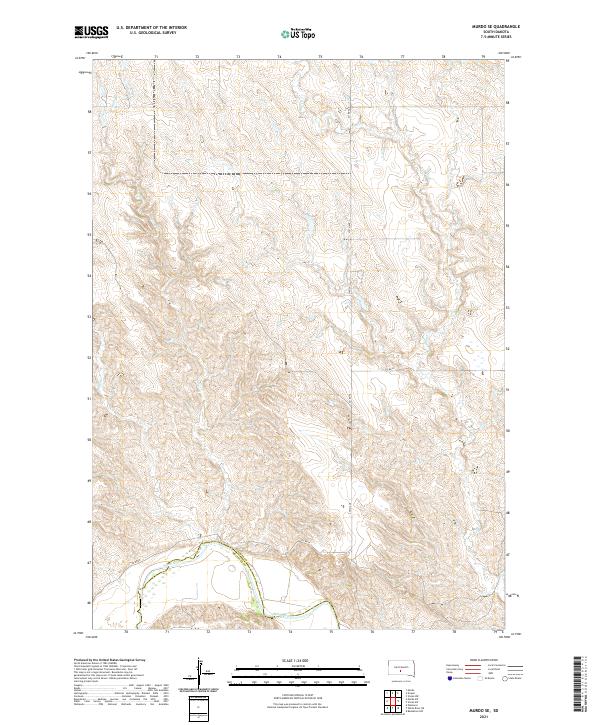 2021 Murdo SE2021 Print · USGSJones and Mellette counties meet along the winding White River in this modern topographic study of the South Dakota plains. Genealogists and historians can trace property boundaries along Spring Cr or follow the paths of 279th Ave and Co Rd 56.
 - 2021 Map of White River SE, 2021 Print
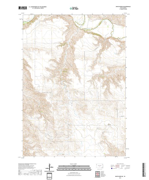
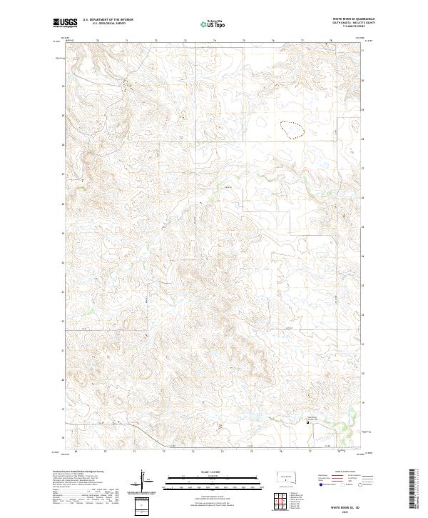 2021 White River SE2021 Print · USGSMellette County rangeland remains a landscape of quiet endurance in this recent survey. Researchers can trace the section-line roads of Belly Rd and Strike Rd to the quiet grounds of Saint Mary's Garden Cem near White Thunder Cr.
End of results
Showing maps 1-14 of 14
Top cities near Swift Bear Segment
Frequently asked questions
- What are the different types of historical maps available for Swift Bear Segment?
- What is the oldest map of Swift Bear Segment?
- Where can I purchase historical maps of Swift Bear Segment for my home or office?
- Where can I download high-res historical maps of Swift Bear Segment?
- Are there historical topographic maps available for Swift Bear Segment?
- Is there historical aerial imagery available for Swift Bear Segment?
- Where are historical maps of Swift Bear Segment sourced from?