2010s Maps of Swift Bear Segment, South Dakota
Explore 42 historic maps of Swift Bear Segment from the 2010s. These maps offer a rare glimpse into what life looked like during the 2010s — showing old roads, neighborhoods, homes, and landmarks that have changed or disappeared over time.
Whether you're researching your family's past, planning a metal detecting trip, or studying how Swift Bear Segment's landscape evolved across the 2010s, these high-resolution maps are a powerful tool for exploring the history of this region.
- Focus on a specific era: All maps on this page are from the 2010s, giving you a focused view of this time period.
- See what’s changed: Compare century-old streets, trails, and buildings to today's modern landscape using overlays and satellite layers.
- Research with precision: Use these maps for genealogy, historical research, land use analysis, or educational projects.
- View, download, or print: Maps are fully viewable online in high resolution, and can be downloaded or printed for your own records.
Start exploring Swift Bear Segment's history through authentic maps from the 2010s. This is your window into the past.
Swift Bear Segment, SD maps
(42)- 2012 Map of Cedar Butte, 2012 Print
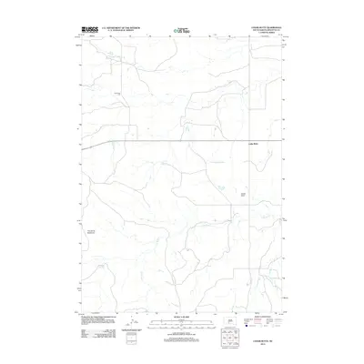 2012 Cedar Butte2012 Print · USGSMellette County during the early twenty-first century reveals a quiet prairie landscape shaped by section roads and seasonal water. Genealogists and local historians can locate the Cedarbutte Cem and trace landmarks like Devils Gate and The Devils Backbone.
 - 2012 Map of Cedar Butte NE, 2012 Print
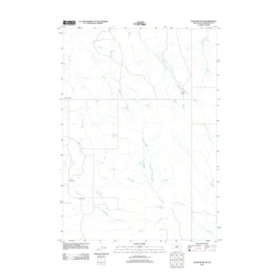 2012 Cedar Butte NE2012 Print · USGSMellette County ranching country is captured here during the early twenty-first century, showing the enduring footprint of family operations. Genealogists and local historians can locate established holdings like Braunson Ranch, England Ranch, and Glenn Ranch along the banks of Cottonwood Cr.
 - 2012 Map of West of Westover, 2012 Print
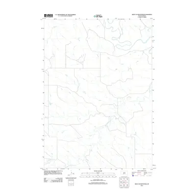 2012 West of Westover2012 Print · USGSMellette County during the early twenty-first century reveals a vast landscape shaped by the winding White River. Researchers can trace the drainage patterns of Cottonwood Cr and Butch Cr across the section-line roads of the Swift Bear Segment.
 - 2012 Map of Head of Butch Creek, 2012 Print
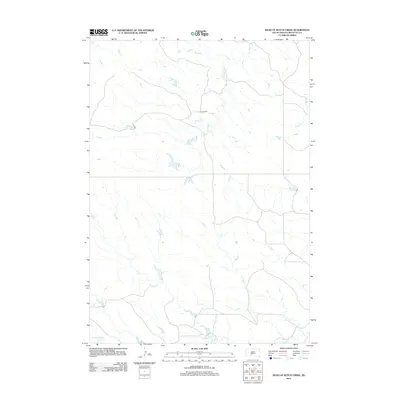 2012 Head of Butch Creek2012 Print · USGSMellette County ranching country is documented here at the start of the decade, showing the remote landscape of the Swift Bear Segment. Researchers can trace the drainage patterns of Butch Cr and Roundup Cr or locate the site of the U P Ranch.
 - 2012 Map of Okaton SE, 2012 Print
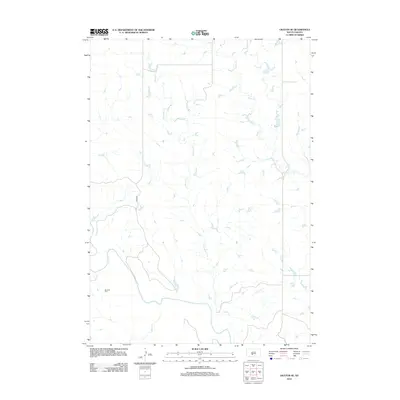 2012 Okaton SE2012 Print · USGSMellette County, South Dakota, is captured here in the early 2010s as a landscape defined by the winding White River and its many tributaries. Genealogists and local historians can locate the Barnette Cem and trace the paths of O'Donald Cr and Ash Cr.
 - 2012 Map of White River East, 2012 Print
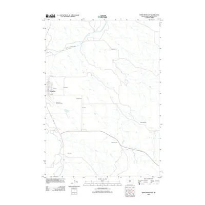 2012 White River East2012 Print · USGSWhite River and the surrounding ranchlands of Mellette County are documented here in the early twenty-first century. Genealogists and local historians can trace family landholdings such as Hutchinson Ranch and Dolezal Ranch or locate the distinctive Little Badlands.
 - 2012 Map of Murdo SE, 2012 Print
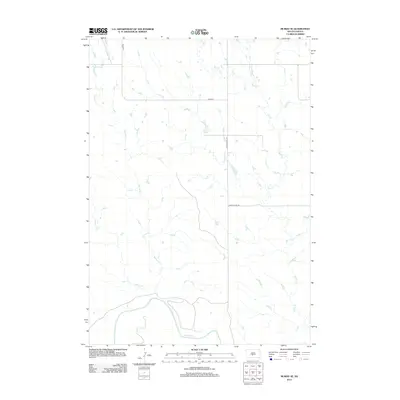 2012 Murdo SE2012 Print · USGSMellette County ranching country is shown just after the first decade of the new millennium as the landscape follows the wide valley of the White River. Local historians and land researchers can trace the seasonal flows of Spring Cr and Bull Cr alongside the rural route of Jones Co Hwy S9.
 - 2012 Map of Okaton SW, 2012 Print
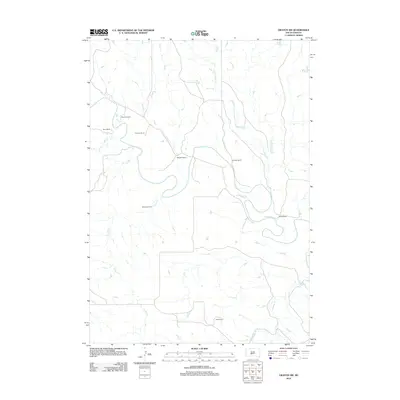 2012 Okaton SW2012 Print · USGSThe White River breaks across the South Dakota plains in the early 2010s, revealing a landscape defined by traditional ranching life. Genealogists and local historians can trace legacy holdings like Peterson Ranch, Blom Ranch, and Wedean Ranch along the banks of Cedar Cr.
 - 2012 Map of Nielson Ranch, 2012 Print
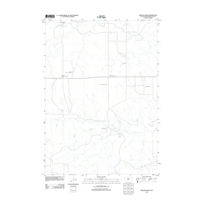 2012 Nielson Ranch2012 Print · USGSMellette County ranching life is preserved in this early 21st-century record of the Swift Bear Segment. Genealogists and local historians can locate specific family holdings such as the Winchell Ranch, Harris Ranch, and the multiple properties of the Lyle Chamberlain Ranch.
 - 2012 Map of White River SE, 2012 Print
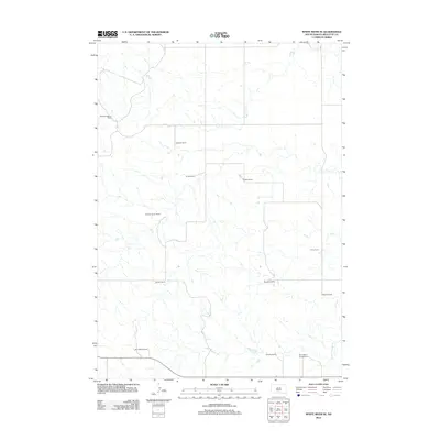 2012 White River SE2012 Print · USGSMellette County ranching estates dominate the South Dakota landscape at the turn of the decade. Genealogists and local historians can trace family landholdings like William Krogman Ranch, Egleston Ranch, and the Saint Marys Garden Cemetery.
 - 2012 Map of White River West, 2012 Print
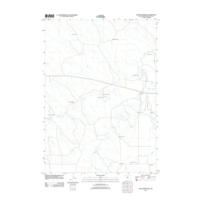 2012 White River West2012 Print · USGSMellette County ranching country remains a landscape of family-held lands and river breaks in the early twenty-first century. Researchers can trace local genealogy and property lines through landmarks like Saint Ignatius Cem and the Lawrence Krogman Ranch.
 - 2012 Map of Stamford SE, 2012 Print
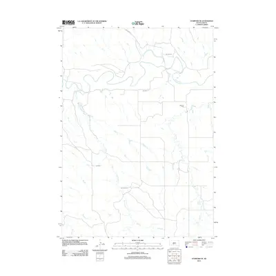 2012 Stamford SE2012 Print · USGSMellette County ranching country is shown here in the early twenty-first century as the landscape transitions from the White River valley to the southern prairie. Genealogists and researchers can locate family land holdings like Perault Ranch and Bear Heels Ranch or trace the path of Runs Close Cr.
 - 2012 Map of Westover, 2012 Print
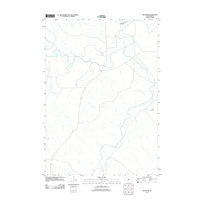 2012 Westover2012 Print · USGSThe Mellette County landscape at the start of the 2010s is defined by the winding paths of the White River and Little White River. Researchers can locate the settlement of Westover and trace family roots at Saint Phillip Cem near the river bluffs.
 - 2012 Map of White River NE, 2012 Print
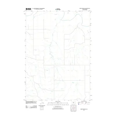 2012 White River NE2012 Print · USGSAcross the Mellette County landscape in the early 2010s, the rural terrain is defined by the winding White River and its tributaries. Researchers can trace the extensive drainage of Kaiser Cr as it intersects the section line roads of the Swift Bear Segment.
 - 2015 Map of White River West, 2015 Print
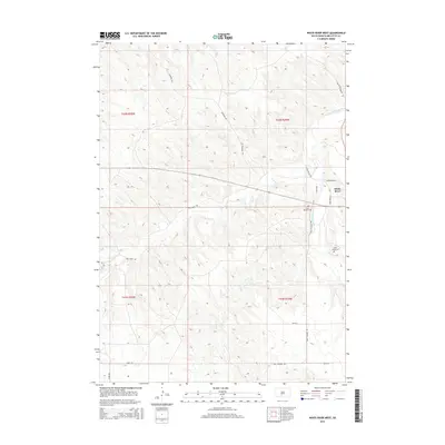 2015 White River West2015 Print · USGSMellette County in the mid-2010s shows the enduring settlement patterns around White River and its namesake waterways. Genealogists and historians can trace local family landmarks through Saint Ignatius Cem, Saint James Cem, and named routes like Ring Thunder Rd.
 - 2015 Map of West of Westover, 2015 Print
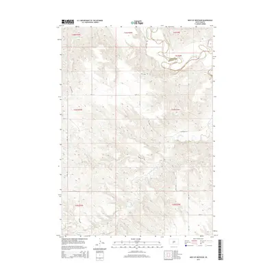 2015 West of Westover2015 Print · USGSThe rural expanse west of Westover, South Dakota, is captured here in the mid-2010s, showing the winding White River at the county line. Researchers can trace local routes like Swift Horse Rd and Charging Elk Rd through the Butch Cr drainage.
 - 2015 Map of Westover, 2015 Print
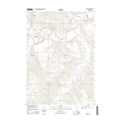 2015 Westover2015 Print · USGSThe confluence of the White River and Little White River defines this South Dakota landscape as it appeared in the mid-2010s. Genealogists and local historians can trace rural routes and landmarks such as Saint Phillip Cem, Westover, and the winding Ghost Face Dr.
 - 2015 Map of White River East, 2015 Print
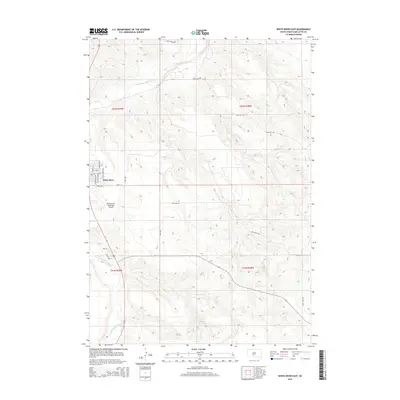 2015 White River East2015 Print · USGSWhite River and the surrounding Mellette County ranch lands are documented here in the mid-2010s. Researchers can trace the town’s modern layout and the rural reaches of Gusty Ridge Rd along the banks of the Little White River.
 - 2015 Map of White River NE, 2015 Print
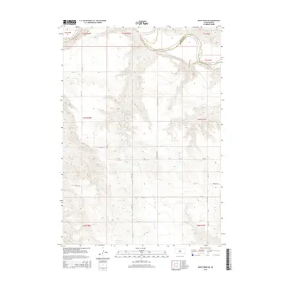 2015 White River NE2015 Print · USGSThe rural landscape of Mellette and Jones counties is captured here in the mid-2010s, centered on the White River corridor. Genealogists and local historians can trace family-named routes across the prairie, including Ironwing Rd, Ghost Face Dr, and Yellow Eagle Rd.
 - 2015 Map of Head of Butch Creek, 2015 Print
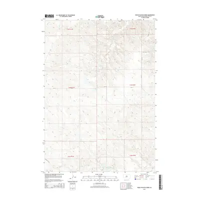 2015 Head of Butch Creek2015 Print · USGSMellette County ranching country is documented here in the mid-2010s, showing a landscape defined by seasonal creek beds and isolated homesteads. Researchers can trace rural property access via Butch Creek Rd and locate landmarks like the Nielson Ranch.
 - 2015 Map of Murdo SE, 2015 Print
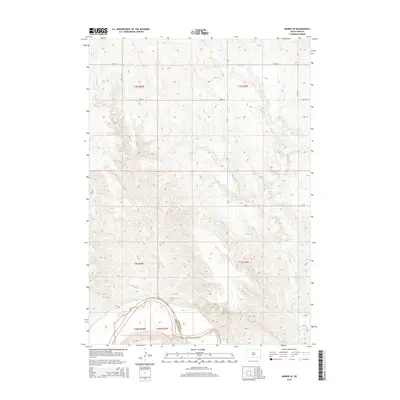 2015 Murdo SE2015 Print · USGSThe northern edge of the Rosebud Reservation area in the mid-2010s shows a landscape shaped by the winding White River. Researchers can trace the county line between Jones Co and Mellette Co and follow the paths of Spring Creek and Bull Creek.
 - 2015 Map of Nielson Ranch, 2015 Print
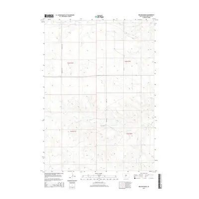 2015 Nielson Ranch2015 Print · USGSMellette County ranch lands are captured here in the mid-2010s, showing the intersection of traditional land divisions and modern rural roads. Researchers can locate Nielson Ranch and trace the winding paths of Cottonwood Cr and N Br Pine Cr.
 - 2015 Map of White River SE, 2015 Print
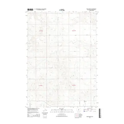 2015 White River SE2015 Print · USGSMellette County during the mid-2010s reveals a rural South Dakota landscape organized by a strict section grid and family-named routes. Genealogists can locate Saint Marys Garden Cem or trace property lines near White Thunder Cr and No Belly Rd.
 - 2015 Map of Stamford SE, 2015 Print
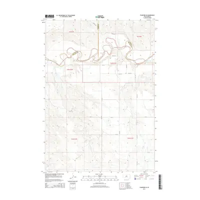 2015 Stamford SE2015 Print · USGSThe White River region of Mellette and Jones Counties is shown here in the early twenty-first century, featuring the winding river valley and the open plains south of the river. Researchers can trace the drainage of Yukmi Cr, locate White Horse Springs, and follow the path of the River Trl.
 - 2015 Map of Cedar Butte, 2015 Print
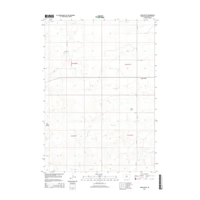 2015 Cedar Butte2015 Print · USGSMellette County, South Dakota, is captured in this recent survey during a period of preserved rural character and traditional land use. Genealogists and local historians can locate Cedarbutte Cem or trace the drainage paths of Klinking Beard Draw and N Br Pine Cr.
Showing maps 1-25 of 42
Top cities near Swift Bear Segment
Frequently asked questions
- What are the different types of historical maps available for Swift Bear Segment?
- What is the oldest map of Swift Bear Segment?
- Where can I purchase historical maps of Swift Bear Segment for my home or office?
- Where can I download high-res historical maps of Swift Bear Segment?
- Are there historical topographic maps available for Swift Bear Segment?
- Is there historical aerial imagery available for Swift Bear Segment?
- Where are historical maps of Swift Bear Segment sourced from?