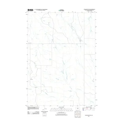
2012 Map of Cedar Butte NE
USGS Topo · Published 2012About this map
Cottonwood Cr winds through the southern reaches of this Mellette County landscape, defining a drainage pattern typical of the South Dakota plains. The map reveals a pastoral economy structured around established family holdings, including the Braunson Ranch and England Ranch in the north and the Dixon Ranch and Glenn Ranch further south. These named properties serve as primary landmarks in a region largely defined by its intricate network of seasonal waterways. In addition to the larger Cottonwood drainage, smaller tributaries like Larvie Cr, Runs Close Cr, and Yukmi Cr carve through the terrain, illustrating the hydrological dependencies of ranching life in the early 21st century. The sparse infrastructure, consisting primarily of section-line roads and ranch access points, highlights the low-density settlement of the Swift Bear Segment.
Find a feature on this map
9 named features on this map. Tap any name to fly to it.
Don’t see what you’re looking for? This feature index may not catch every label — zoom into the map to look around manually.
Map Details
Editions of this 2012 Cedar Butte NE Map
This is the sole edition of this map. No revisions or reprints were ever made.
Other maps of this area
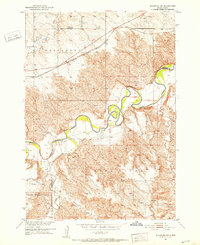
1951 · Stamford SW
USGS Topo · 1:24,000
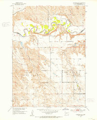
1951 · Stamford SE
USGS Topo · 1:24,000
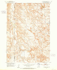
1951 · Cedar Butte NW
USGS Topo · 1:24,000
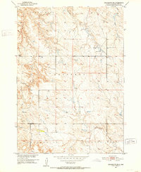
1951 · Cedar Butte NE
USGS Topo · 1:24,000
1951 · Okaton SW
USGS Topo · 1:24,000
1951 · Murdo 3 NW
USGS Topo · 1:24,000
1955 · Martin
USGS Topo · 1:250,000
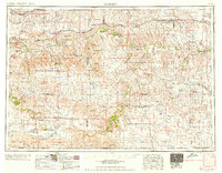
1958 · Martin
USGS Topo · 1:250,000
1980 · Kadoka
USGS Topo · 1:100,000
1981 · Cedar Butte
USGS Topo · 1:25,000