
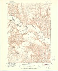
1951 Map of Okaton SW
USGS Topo · Published 1953About this map
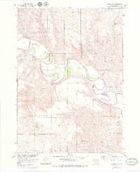
The White River carves a winding path through this central South Dakota landscape, defining the boundary between Jones and Mellette counties. In the early 1950s, this area was characterized by a scattered network of family-operated livestock operations, including the Peterson Ranch, Graham Ranch, and Blom Ranch. The presence of the South Grandview Sch, labeled as abandoned by 1951, suggests a shift in the local rural school system during the mid-century as populations consolidated or moved.
Find a feature on this map
23 named features on this map. Tap any name to fly to it.
Don’t see what you’re looking for? This feature index may not catch every label — zoom into the map to look around manually.
Map Details
Editions of this 1951 Okaton SW Map
3 editions found
Other maps of this area

1951 · Stamford SE
USGS Topo · 1:24,000

1951 · Cedar Butte NE
USGS Topo · 1:24,000

1951 · Murdo 3 NW
USGS Topo · 1:24,000

1951 · Murdo 3 NE
USGS Topo · 1:24,000

1951 · Okaton SE
USGS Topo · 1:24,000

1955 · Martin
USGS Topo · 1:250,000

1958 · Martin
USGS Topo · 1:250,000

1972 · Okaton
USGS Topo · 1:24,000
1972 · Okaton NE
USGS Topo · 1:24,000
1972 · Stamford
USGS Topo · 1:24,000