
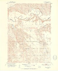
1951 Map of Stamford SE
USGS Topo · Published 1953About this map
The White River carves a deep, meandering course through the South Dakota badlands, creating a landscape of stark contrasts between the river bottom and the high plateaus of Grand View and Rocky Ford. In the early 1950s, this area of Mellette and Jones Counties was defined by isolated cattle operations and small rural institutions. Family names are etched into the terrain at the Perault Ranch, Vohr Ranch, and Bear Heels Ranch. This survey captures the infrastructure of rural life before widespread consolidation, showing the Big White River Sch, Harmony Sch, and St James Ch serving as community hubs. The Chicago Milwaukee St Paul and Pacific railroad tracks skirt the northern bluffs, providing a vital transport link for this ranching country where creeks like Runs Close Creek and Red Fish Creek dictate the movement of livestock.
Find a feature on this map
22 named features on this map. Tap any name to fly to it.
Don’t see what you’re looking for? This feature index may not catch every label — zoom into the map to look around manually.
Map Details
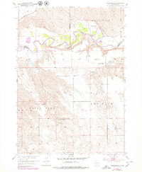
Editions of this 1951 Stamford SE Map
3 editions found
Other maps of this area

1951 · Stamford SW
USGS Topo · 1:24,000

1951 · Cedar Butte NW
USGS Topo · 1:24,000

1951 · Cedar Butte NE
USGS Topo · 1:24,000

1951 · Okaton SW
USGS Topo · 1:24,000

1951 · Murdo 3 NW
USGS Topo · 1:24,000

1955 · Martin
USGS Topo · 1:250,000

1958 · Martin
USGS Topo · 1:250,000

1972 · Okaton
USGS Topo · 1:24,000

1972 · Stamford NW
USGS Topo · 1:24,000
1972 · Stamford
USGS Topo · 1:24,000