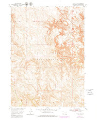
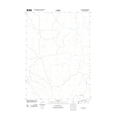
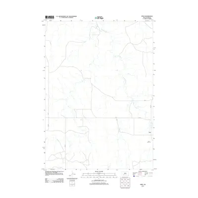
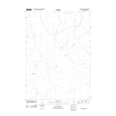
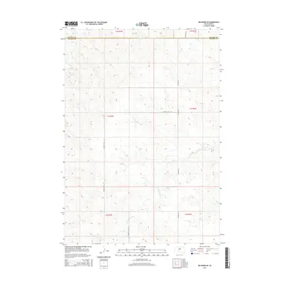
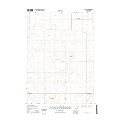
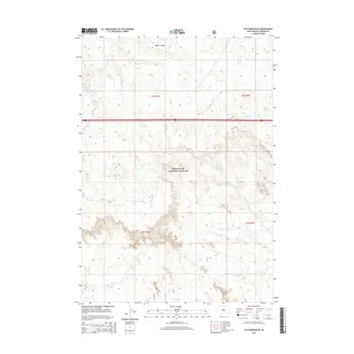
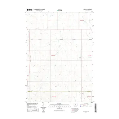
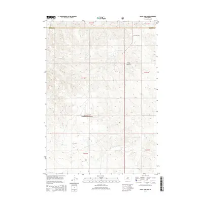
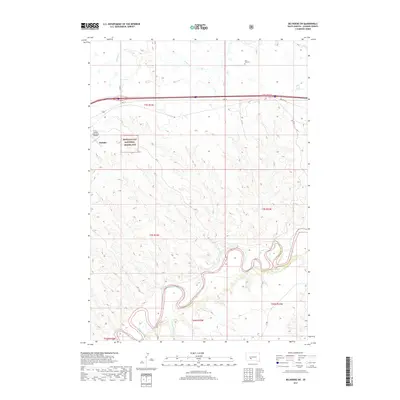
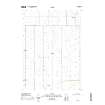
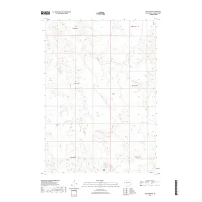
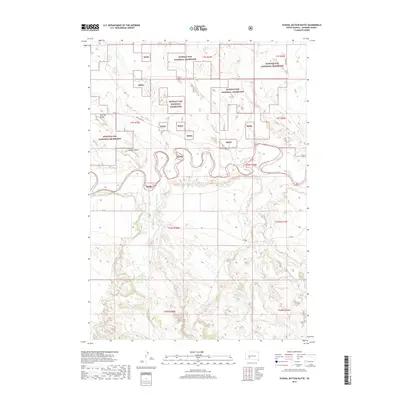
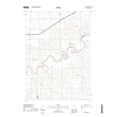
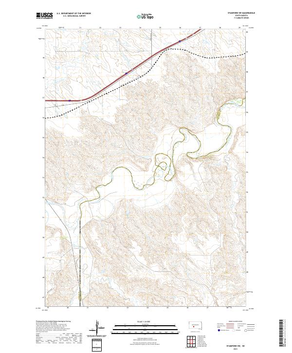
1972 Map of Stamford NW
USGS Topo · Published 1975About this map
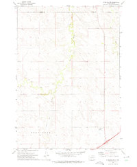
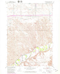
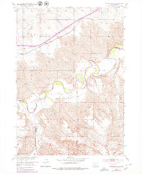
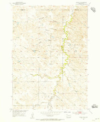
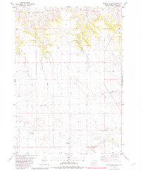
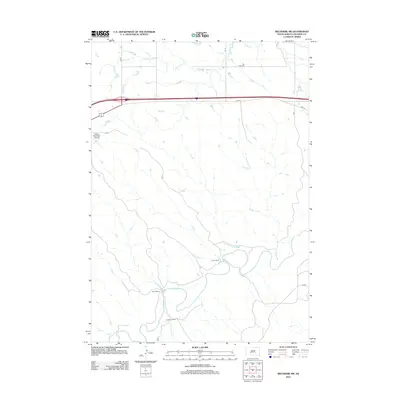
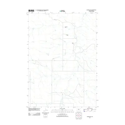
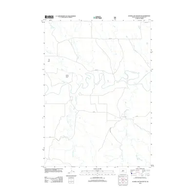
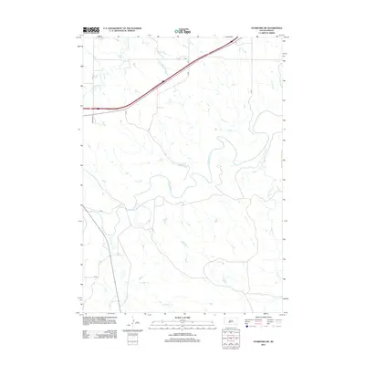
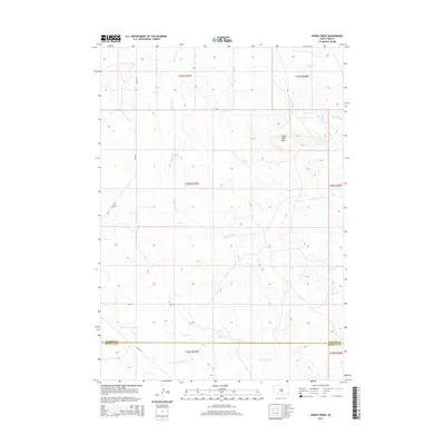
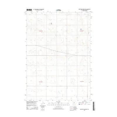
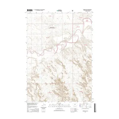
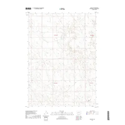
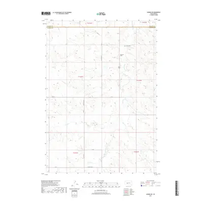
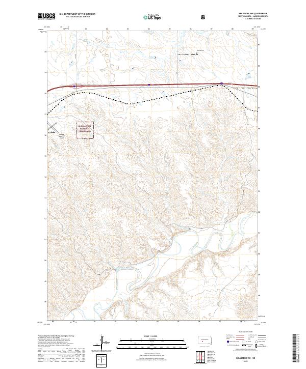
The northern edge of Belvidere is captured in this 1972 survey, centered on the drainage systems of central South Dakota's grasslands. The landscape is defined by the winding course of Brave Bull Creek and its tributary, the West Fork Brave Bull Creek, which carve intricate patterns across the terrain. Along the southern boundary, local infrastructure is evident near the settlement area, including the Freeman Dam and the Sewage Disp Ponds. To the north, the county line between Haakon County and Jackson County divides the map, marking a transition into more sparsely labeled territory. Further east, Ash Creek cuts through the high plains, illustrating the water-dependent geography of this rural region. This survey provides a precise look at the land and water management features vital to the local economy and ranching culture of the early 1970s.
Find a feature on this map
7 named features on this map. Tap any name to fly to it.
Don’t see what you’re looking for? This feature index may not catch every label — zoom into the map to look around manually.
Map Details
Editions of this 1972 Stamford NW Map
This is the sole edition of this map. No revisions or reprints were ever made.
Historical Maps of Haakon County Through Time
145 maps found
1950 Interior SE
Jackson County, SD
1950 Potato Creek
Jackson County, SD
1950 Weta
Jackson County, SD
1951 Belvidere SW
Jackson County, SD
1951 Pass Creek NE
Jackson County, SD
1951 Pass Creek NW
Jackson County, SD
1951 School Section Butte
Jackson County, SD
1951 Stamford SW
Jackson County, SD
1951 Wanblee NE
Jackson County, SD
1951 Wanblee NW
Jackson County, SD
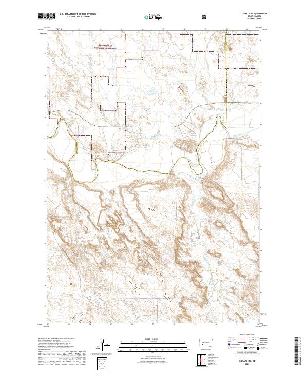
1952 Conata NE
Jackson County, SD
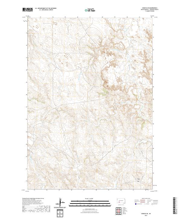
1952 Conata SE
Jackson County, SD
1953 Belvidere NE
Jackson County, SD
1953 Philip Junction
Jackson County, SD
1954 Belvidere NW
Jackson County, SD
1954 Kadoka NE
Jackson County, SD
1960 Cottonwood SW
Jackson County, SD
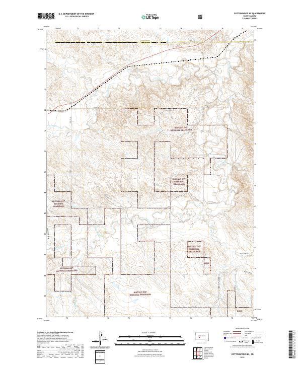
1961 Cottonwood NE
Jackson County, SD
1961 Cottonwood SE
Jackson County, SD
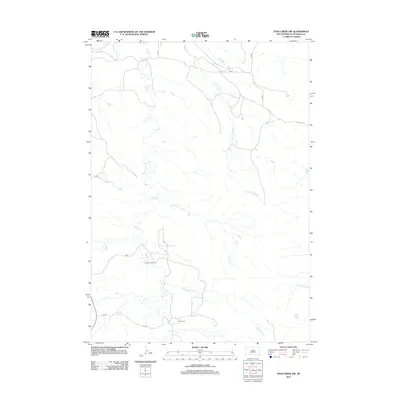
1972 Stamford NW
Jackson County, SD
1981 Broken Leg Dam
Jackson County, SD

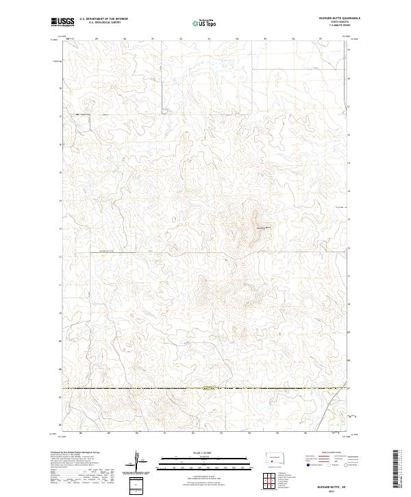
1981 Buzzard Butte
Jackson County, SD

1981 Hisle
Jackson County, SD

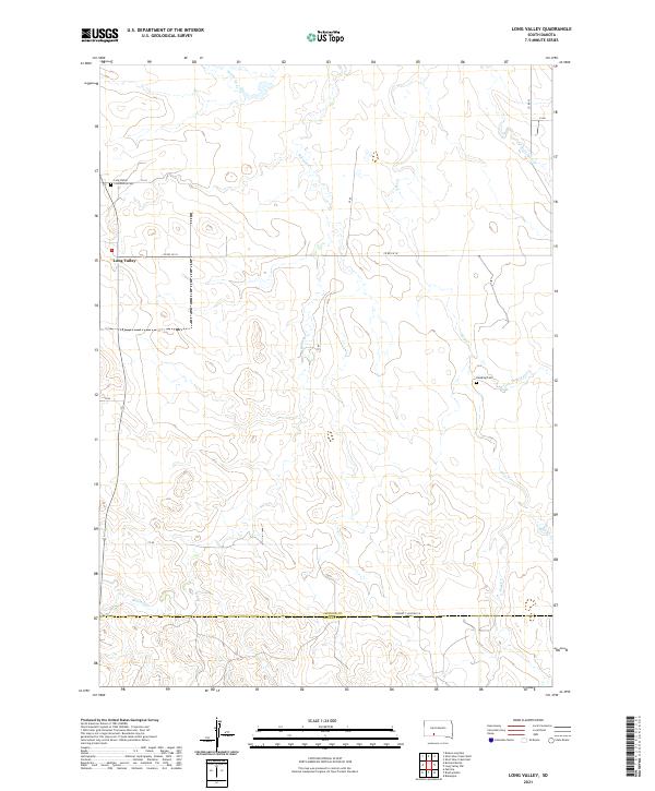
1981 Long Valley
Jackson County, SD
1981 Short Bow Creek
Jackson County, SD
2012 Belvidere NE
Jackson County, SD
2012 Belvidere NW
Jackson County, SD
2012 Belvidere SW
Jackson County, SD
2012 Broken Leg Dam
Jackson County, SD
2012 Buzzard Butte
Jackson County, SD
2012 Conata NE
Jackson County, SD
2012 Conata SE
Jackson County, SD
2012 Cottonwood NE
Jackson County, SD
2012 Cottonwood SE
Jackson County, SD
2012 Cottonwood SW
Jackson County, SD
2012 Hisle
Jackson County, SD
2012 Hisle NW
Jackson County, SD
2012 Horse Creek
Jackson County, SD
2012 Interior SE
Jackson County, SD
2012 Kadoka NE
Jackson County, SD
2012 Kyle NE
Jackson County, SD
2012 Long Valley
Jackson County, SD
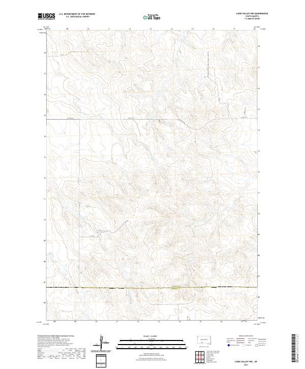
2012 Long Valley NW
Jackson County, SD
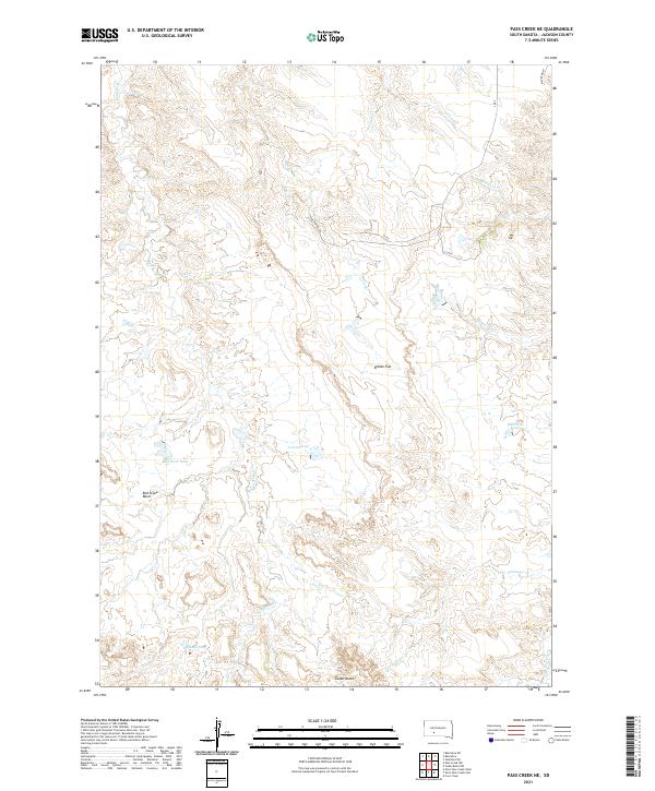
2012 Pass Creek NE
Jackson County, SD
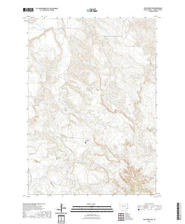
2012 Pass Creek NW
Jackson County, SD
2012 Philip Junction
Jackson County, SD
2012 Potato Creek
Jackson County, SD
2012 School Section Butte
Jackson County, SD
2012 Short Bow Creek East
Jackson County, SD
2012 Short Bow Creek West
Jackson County, SD
2012 Stamford NW
Jackson County, SD
2012 Stamford SW
Jackson County, SD
2012 Wanblee NE
Jackson County, SD
2012 Wanblee NW
Jackson County, SD
2012 Weta
Jackson County, SD
2015 Belvidere NE
Jackson County, SD
2015 Belvidere NW
Jackson County, SD
2015 Belvidere SW
Jackson County, SD
2015 Broken Leg Dam
Jackson County, SD
2015 Buzzard Butte
Jackson County, SD
2015 Conata NE
Jackson County, SD
2015 Conata SE
Jackson County, SD
2015 Cottonwood NE
Jackson County, SD
2015 Cottonwood SE
Jackson County, SD
2015 Cottonwood SW
Jackson County, SD
2015 Hisle
Jackson County, SD
2015 Hisle NW
Jackson County, SD
2015 Horse Creek
Jackson County, SD
2015 Interior SE
Jackson County, SD
2015 Kadoka NE
Jackson County, SD
2015 Kyle NE
Jackson County, SD
2015 Long Valley
Jackson County, SD
2015 Long Valley NW
Jackson County, SD
2015 Pass Creek NE
Jackson County, SD
2015 Pass Creek NW
Jackson County, SD
2015 Philip Junction
Jackson County, SD
2015 Potato Creek
Jackson County, SD
2015 School Section Butte
Jackson County, SD
2015 Short Bow Creek East
Jackson County, SD
2015 Short Bow Creek West
Jackson County, SD
2015 Stamford NW
Jackson County, SD
2015 Stamford SW
Jackson County, SD
2015 Wanblee NE
Jackson County, SD
2015 Wanblee NW
Jackson County, SD
2015 Weta
Jackson County, SD
2017 Belvidere NE
Jackson County, SD
2017 Belvidere NW
Jackson County, SD
2017 Belvidere SW
Jackson County, SD
2017 Broken Leg Dam
Jackson County, SD
2017 Buzzard Butte
Jackson County, SD
2017 Conata NE
Jackson County, SD
2017 Conata SE
Jackson County, SD
2017 Cottonwood NE
Jackson County, SD
2017 Cottonwood SE
Jackson County, SD
2017 Cottonwood SW
Jackson County, SD
2017 Hisle
Jackson County, SD
2017 Hisle NW
Jackson County, SD
2017 Horse Creek
Jackson County, SD
2017 Interior SE
Jackson County, SD
2017 Kadoka NE
Jackson County, SD
2017 Kyle NE
Jackson County, SD
2017 Long Valley
Jackson County, SD
2017 Long Valley NW
Jackson County, SD
2017 Pass Creek NE
Jackson County, SD
2017 Pass Creek NW
Jackson County, SD
2017 Philip Junction
Jackson County, SD
2017 Potato Creek
Jackson County, SD
2017 School Section Butte
Jackson County, SD
2017 Short Bow Creek East
Jackson County, SD
2017 Short Bow Creek West
Jackson County, SD
2017 Stamford NW
Jackson County, SD
2017 Stamford SW
Jackson County, SD
2017 Wanblee NE
Jackson County, SD
2017 Wanblee NW
Jackson County, SD
2017 Weta
Jackson County, SD
2021 Belvidere NE
Jackson County, SD
2021 Belvidere NW
Jackson County, SD
2021 Belvidere SW
Jackson County, SD
2021 Broken Leg Dam
Jackson County, SD
2021 Buzzard Butte
Jackson County, SD
2021 Conata NE
Jackson County, SD
2021 Conata SE
Jackson County, SD
2021 Cottonwood NE
Jackson County, SD
2021 Cottonwood SE
Jackson County, SD
2021 Cottonwood SW
Jackson County, SD
2021 Hisle
Jackson County, SD
2021 Hisle NW
Jackson County, SD
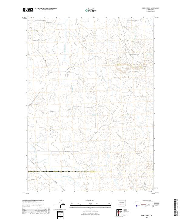
2021 Horse Creek
Jackson County, SD
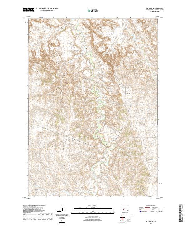
2021 Interior SE
Jackson County, SD
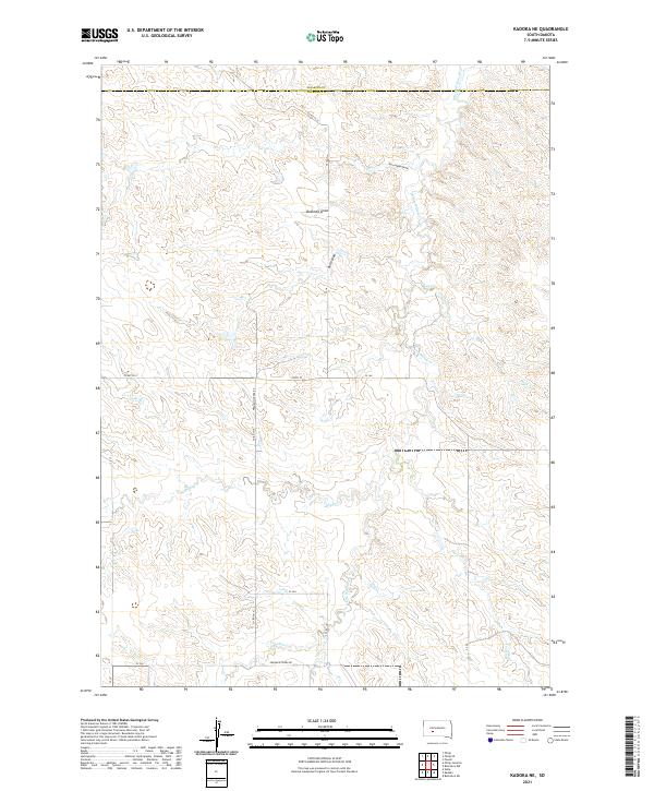
2021 Kadoka NE
Jackson County, SD
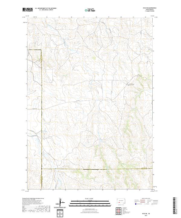
2021 Kyle NE
Jackson County, SD
2021 Long Valley
Jackson County, SD
2021 Long Valley NW
Jackson County, SD
2021 Pass Creek NE
Jackson County, SD
2021 Pass Creek NW
Jackson County, SD
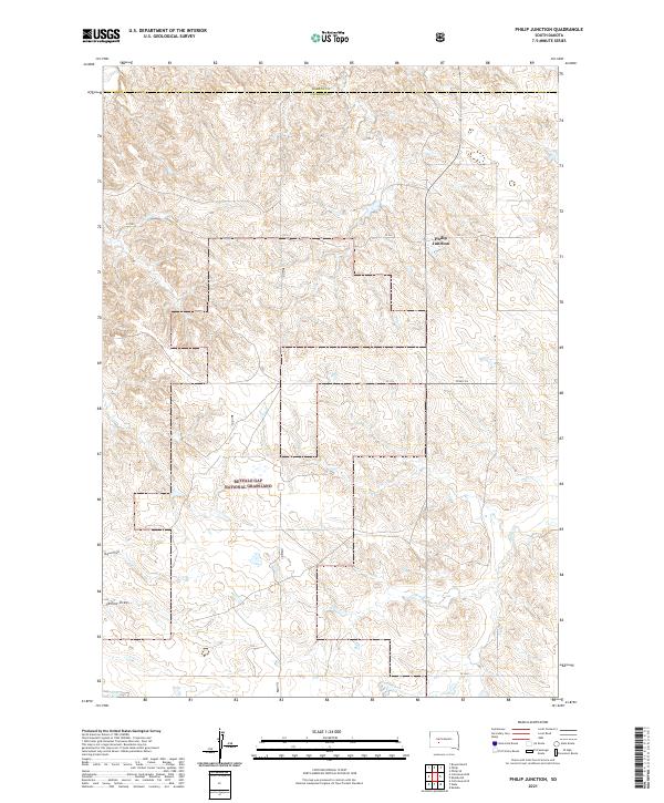
2021 Philip Junction
Jackson County, SD
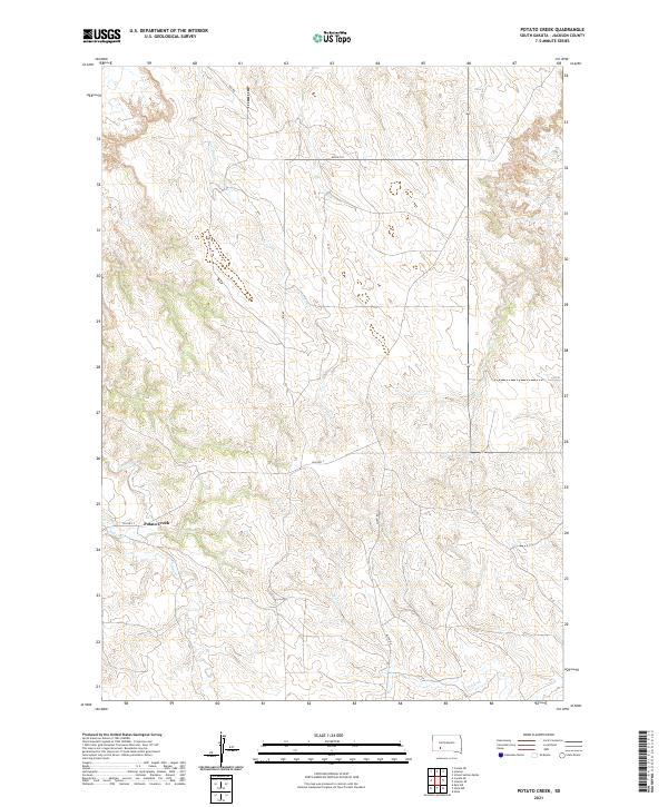
2021 Potato Creek
Jackson County, SD
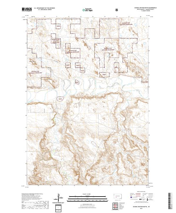
2021 School Section Butte
Jackson County, SD
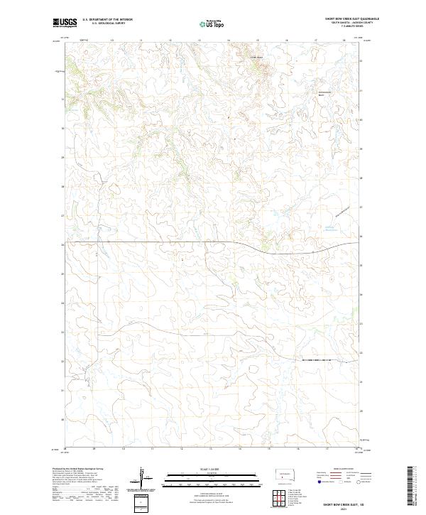
2021 Short Bow Creek East
Jackson County, SD
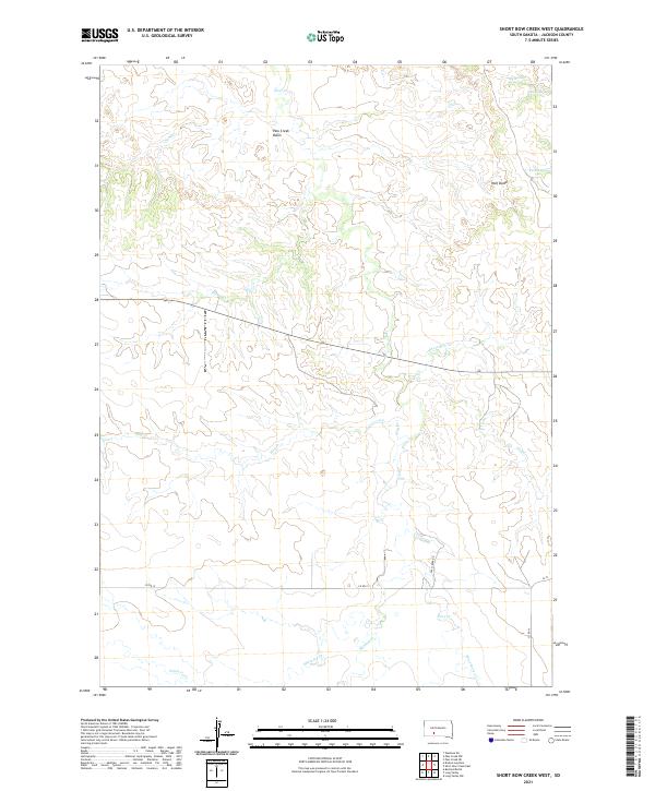
2021 Short Bow Creek West
Jackson County, SD
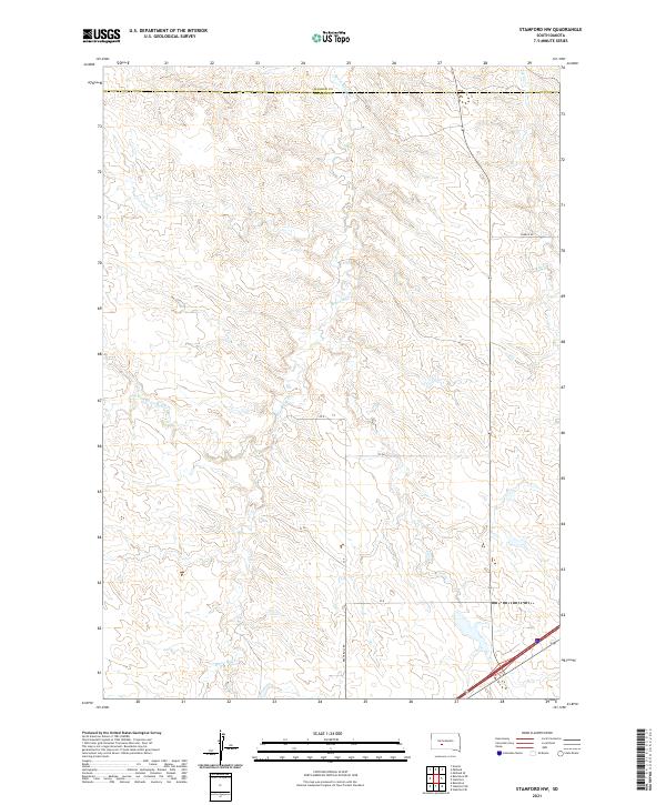
2021 Stamford NW
Jackson County, SD
2021 Stamford SW
Jackson County, SD
2021 Wanblee NE
Jackson County, SD
2021 Wanblee NW
Jackson County, SD
2021 Weta
Jackson County, SD