
1958 Map of Pierre
USGS Topo · Published 1958About this map
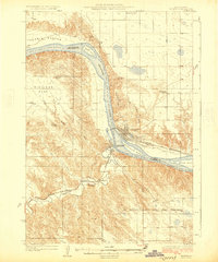
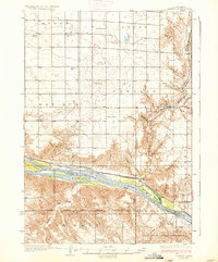
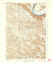
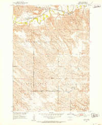
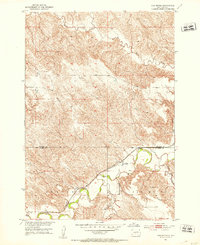
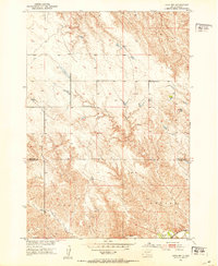
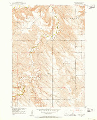
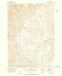
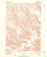
Cheyenne River Indian Reservation dominates the northern landscape of this Central South Dakota region, where the Missouri River transition is documented during the construction of the Oahe Dam. The map captures the Missouri's course before the full extent of the Oahe Reservoir reshaped the valley, showing landmarks like Fort Sully Game Refuge and Hipple Lake near the state capital of Pierre. To the west, the Cheyenne River and Bad River carve through the prairie, supporting small cattle-country settlements like Philip, Milesville, and Sansarc. Rail transit is anchored by the Chicago and North Western line, featuring rural stops such as Eakin Siding and Teton Siding. The high plains topography is defined by distinctive buttes including Artichoke Butte and Medicine Knoll, which served as essential navigational markers in the open landscape of Sully County and Hughes County.
Find a feature on this map
95 named features on this map. Tap any name to fly to it.
Don’t see what you’re looking for? This feature index may not catch every label — zoom into the map to look around manually.
Map Details
Editions of this 1958 Pierre Map
This is the sole edition of this map. No revisions or reprints were ever made.
Other maps of this area
1924 · Pierre
USGS Topo · 1:62,500

1934 · Canning
USGS Topo · 1:48,000
1937 · Canning
USGS Topo · 1:62,500
1937 · Oahe
USGS Topo · 1:62,500
1951 · Capa
USGS Topo · 1:24,000
1951 · Van Metre
USGS Topo · 1:24,000
1951 · Capa NW
USGS Topo · 1:24,000
1951 · Capa SE
USGS Topo · 1:24,000
1953 · Belvidere NE
USGS Topo · 1:24,000
1953 · Teton
USGS Topo · 1:24,000