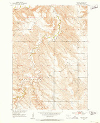
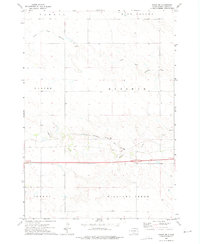
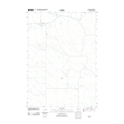
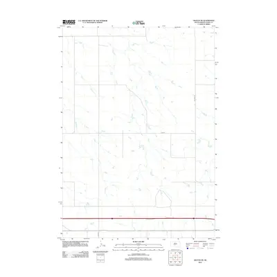
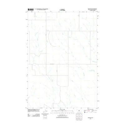
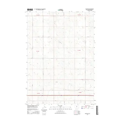
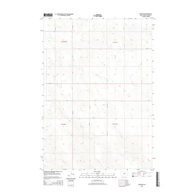
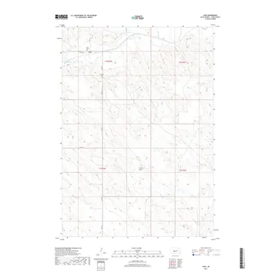
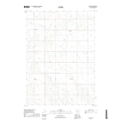
1951 Map of Capa SE
USGS Topo · Published 1953About this map
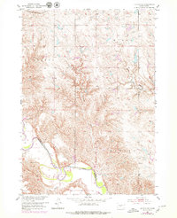
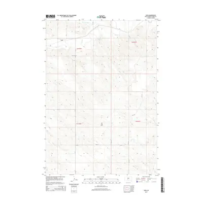
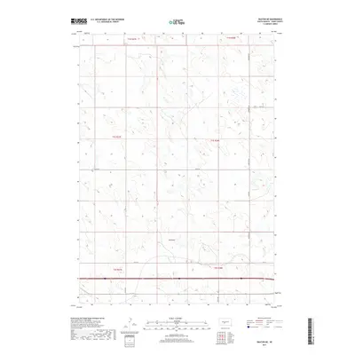
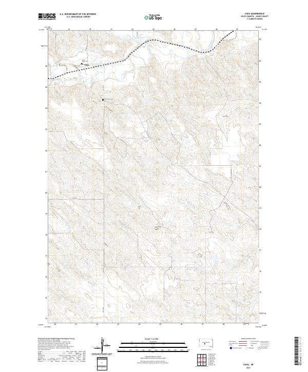
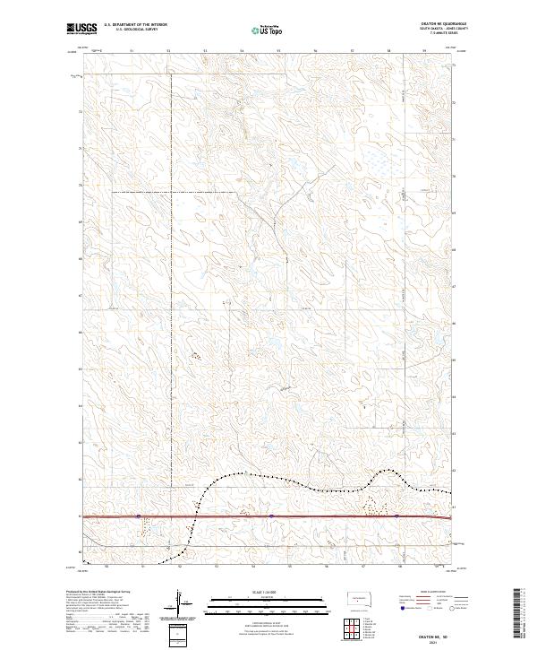
Bad River meanders across the northern reaches of this Missouri River Basin survey, cutting through the high plains of Jones County. The landscape is defined by its drainage systems, where the perennial water of the river meets the seasonal paths of Dry Creek and Ash Draw. This era of South Dakota history shows a rural topography divided between the townships of Washington and Union, with large tracts identified as Bovine and Van Metre. The presence of the Harrington Sch in the southeast corner provides a rare anchor for local history researchers, marking the center of a dispersed ranching community before the consolidation of rural school districts. The intricate contour lines reveal the complex erosional patterns typical of the region, illustrating how these waterways shaped the movement and settlement of early residents in the early 1950s.
Find a feature on this map
8 named features on this map. Tap any name to fly to it.
Don’t see what you’re looking for? This feature index may not catch every label — zoom into the map to look around manually.
Map Details
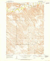
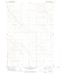
Editions of this 1951 Capa SE Map
This is the sole edition of this map. No revisions or reprints were ever made.
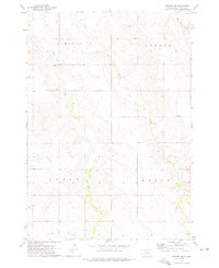
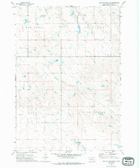
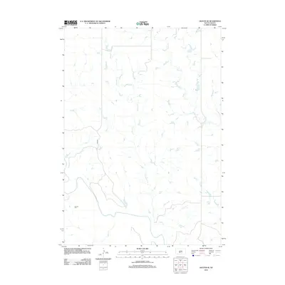
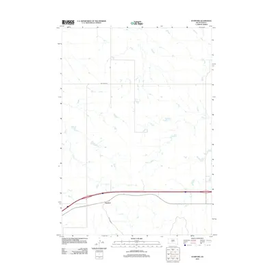
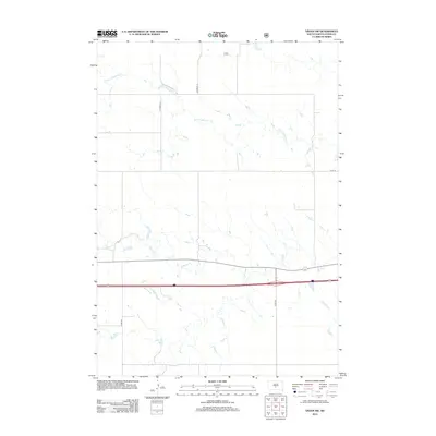
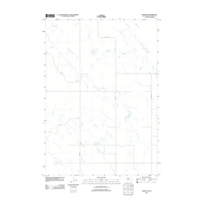
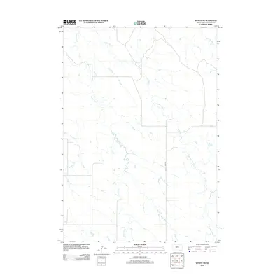
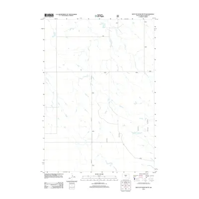
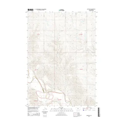
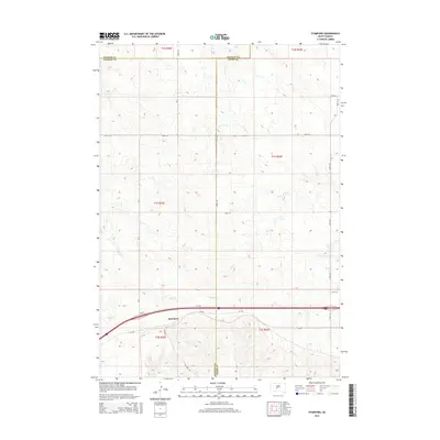
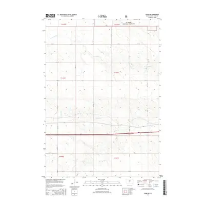
Historical Maps of Jones County Through Time
60 maps found
1951 Capa
Jones County, SD
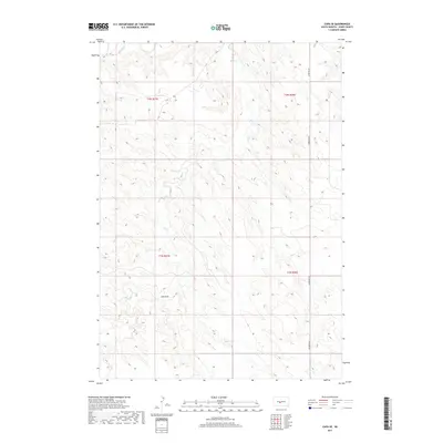
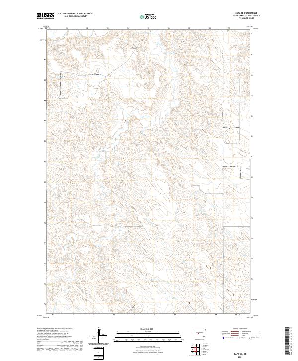
1951 Capa SE
Jones County, SD
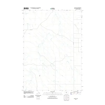
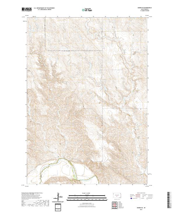
1951 Murdo SE
Jones County, SD
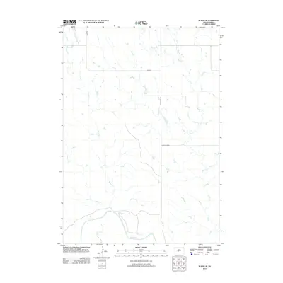
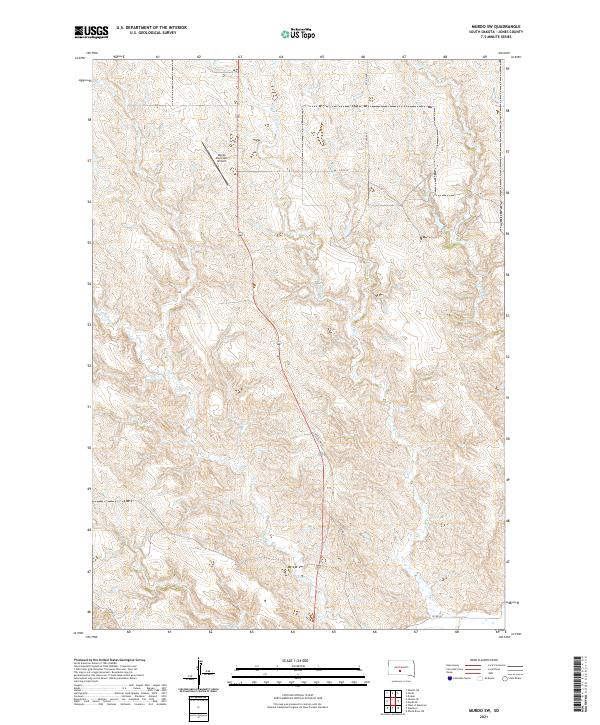
1951 Murdo SW
Jones County, SD
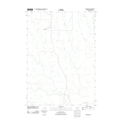
1951 Okaton SE
Jones County, SD
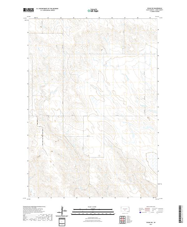
1970 Vivian SW
Jones County, SD
1972 Okaton NE
Jones County, SD
1972 Stamford
Jones County, SD
1972 Vivian NW
Jones County, SD
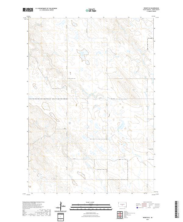
1972 Wendte SE
Jones County, SD
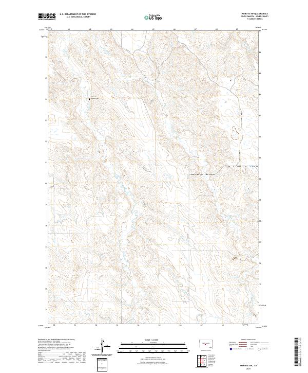
1972 Wendte SW
Jones County, SD
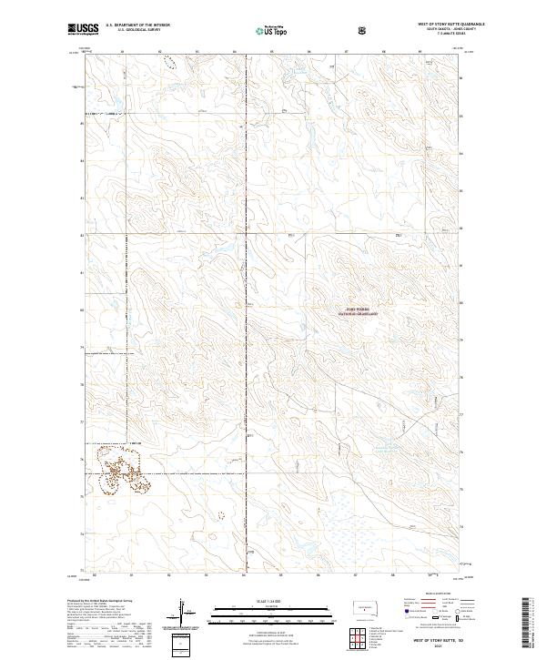
1972 West Of Stony Butte
Jones County, SD
2012 Capa
Jones County, SD
2012 Capa SE
Jones County, SD
2012 Murdo SE
Jones County, SD
2012 Murdo SW
Jones County, SD
2012 Okaton NE
Jones County, SD
2012 Okaton SE
Jones County, SD
2012 Stamford
Jones County, SD
2012 Vivian NW
Jones County, SD
2012 Vivian SW
Jones County, SD
2012 Wendte SE
Jones County, SD
2012 Wendte SW
Jones County, SD
2012 West of Stony Butte
Jones County, SD
2015 Capa
Jones County, SD
2015 Capa SE
Jones County, SD
2015 Murdo SE
Jones County, SD
2015 Murdo SW
Jones County, SD
2015 Okaton NE
Jones County, SD
2015 Okaton SE
Jones County, SD
2015 Stamford
Jones County, SD
2015 Vivian NW
Jones County, SD
2015 Vivian SW
Jones County, SD
2015 Wendte SE
Jones County, SD
2015 Wendte SW
Jones County, SD
2015 West of Stony Butte
Jones County, SD
2017 Capa
Jones County, SD
2017 Capa SE
Jones County, SD
2017 Murdo SE
Jones County, SD
2017 Murdo SW
Jones County, SD
2017 Okaton NE
Jones County, SD
2017 Okaton SE
Jones County, SD
2017 Stamford
Jones County, SD
2017 Vivian NW
Jones County, SD
2017 Vivian SW
Jones County, SD
2017 Wendte SE
Jones County, SD
2017 Wendte SW
Jones County, SD
2017 West of Stony Butte
Jones County, SD
2021 Capa
Jones County, SD
2021 Capa SE
Jones County, SD
2021 Murdo SE
Jones County, SD
2021 Murdo SW
Jones County, SD
2021 Okaton NE
Jones County, SD
2021 Okaton SE
Jones County, SD
2021 Stamford
Jones County, SD
2021 Vivian NW
Jones County, SD
2021 Vivian SW
Jones County, SD
2021 Wendte SE
Jones County, SD
2021 Wendte SW
Jones County, SD
2021 West of Stony Butte
Jones County, SD