
1953 Map of Wendte
USGS Topo · Published 1955About this map
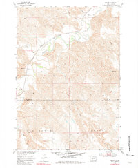
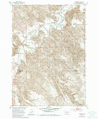
The Bad River carves a deeply winding path through this central South Dakota landscape, defining the character of the Van Metre and Banner regions. The unincorporated settlement of Wendte serves as a small anchor in the northern reaches, situated near the confluence of Deep Creek and the river. Transport in the early 1950s is dominated by the Chicago and North Western railroad, which parallels the river's northern banks. Education in this ranching country is represented by the isolated Matthew Sch, reflecting the sparse distribution of rural communities across the Stanley and Jones County line. The terrain is marked by numerous seasonal drainages like Tomahawk Creek and Plum Creek, with a single Flowing Well noted in the east, highlighting the importance of water access in this semi-arid environment during the mid-century era.
Find a feature on this map
13 named features on this map. Tap any name to fly to it.
Don’t see what you’re looking for? This feature index may not catch every label — zoom into the map to look around manually.
Map Details
Editions of this 1953 Wendte Map
3 editions found
Other maps of this area

1937 · Oahe
USGS Topo · 1:62,500

1951 · Van Metre
USGS Topo · 1:24,000

1951 · Capa SE
USGS Topo · 1:24,000

1953 · Teton
USGS Topo · 1:24,000

1953 · Oahe SW
USGS Topo · 1:24,000

1953 · Wendte NE
USGS Topo · 1:24,000

1954 · Pierre
USGS Topo · 1:250,000

1958 · Pierre
USGS Topo · 1:250,000
1972 · Wendte SE
USGS Topo · 1:24,000
1972 · Wendte SW
USGS Topo · 1:24,000