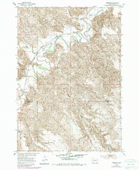
1953 Map of Wendte
USGS Topo · Published 1987About this map
The Chicago and North Western railroad cuts across the northern terrain of this mid-century survey, paralleling the winding course of the Bad River. The small settlement of Wendte serves as a primary point of reference in this sparsely populated landscape where the drainage network of Tomahawk Creek, Deep Creek, and Plum Creek dictates the movement of people and livestock. A notable Ford and a Flowing Well highlight the critical importance of water access in this region of South Dakota.
Find a feature on this map
13 named features on this map. Tap any name to fly to it.
Don’t see what you’re looking for? This feature index may not catch every label — zoom into the map to look around manually.
Map Details
Editions of this 1953 Wendte Map
3 editions found
Other maps of this area

1937 · Oahe
USGS Topo · 1:62,500

1951 · Van Metre
USGS Topo · 1:24,000

1951 · Capa SE
USGS Topo · 1:24,000

1953 · Teton
USGS Topo · 1:24,000

1953 · Oahe SW
USGS Topo · 1:24,000

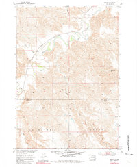
1953 · Wendte
USGS Topo · 1:24,000

1953 · Wendte NE
USGS Topo · 1:24,000

1954 · Pierre
USGS Topo · 1:250,000

1958 · Pierre
USGS Topo · 1:250,000
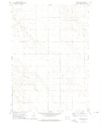
1972 · Wendte SE
USGS Topo · 1:24,000