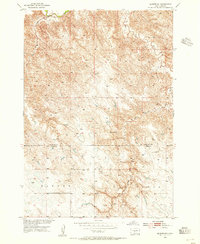
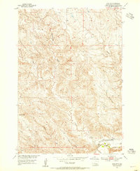
1953 Map of Wendte NE
USGS Topo · Published 1955About this map
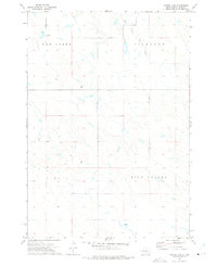
The Bad River cuts through the northern corner of this landscape, carving deep relief into the South Dakota prairie during the early 1950s. This survey, conducted as part of the Missouri River Basin development program, captures the rural intersection of Stanley County and Jones County. The terrain is defined by a network of drainage systems including Crow Eagle Creek and War Creek, which feed into the larger river valley. Social life in this sparsely populated region centered on the Werckman Sch, one of the few named structures in an area dominated by topographical landmarks like the Bloom formation. In the southern portion of the map, the label Banner marks a broad area of the high plains, reflecting the expansive ranching or agricultural divisions of the mid-twentieth century.
Find a feature on this map
9 named features on this map. Tap any name to fly to it.
Don’t see what you’re looking for? This feature index may not catch every label — zoom into the map to look around manually.
Map Details
Editions of this 1953 Wendte NE Map
This is the sole edition of this map. No revisions or reprints were ever made.
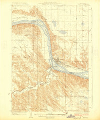
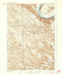
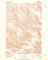
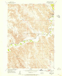
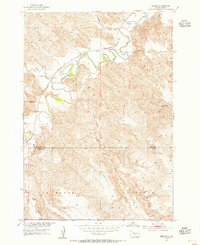
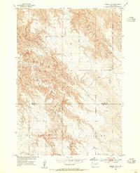
Other maps of this area
1924 · Pierre
USGS Topo · 1:62,500
1937 · Oahe
USGS Topo · 1:62,500
1953 · Teton
USGS Topo · 1:24,000
1953 · Oahe SW
USGS Topo · 1:24,000
1953 · Pierre SW
USGS Topo · 1:24,000
1953 · Wendte
USGS Topo · 1:24,000
1953 · Pierre 3 NW
USGS Topo · 1:24,000

1954 · Pierre
USGS Topo · 1:250,000

1958 · Pierre
USGS Topo · 1:250,000
1972 · Pierre 3 SW
USGS Topo · 1:24,000