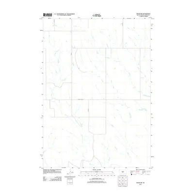
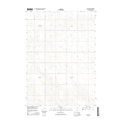
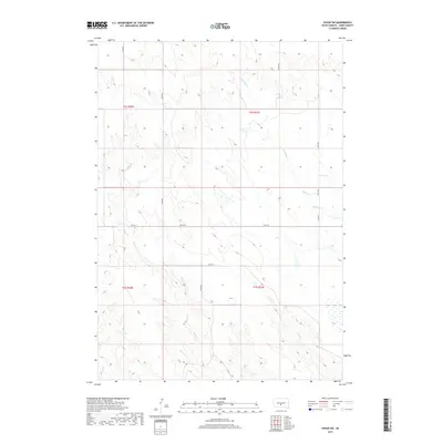
1972 Map of Wendte SE
USGS Topo · Published 1975About this map
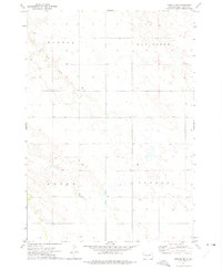
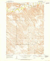
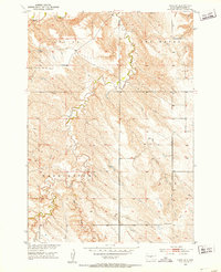
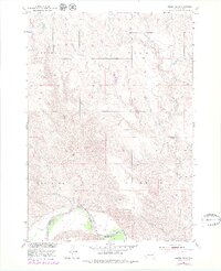
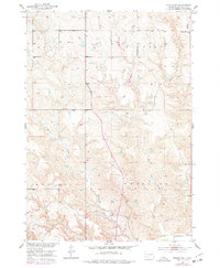
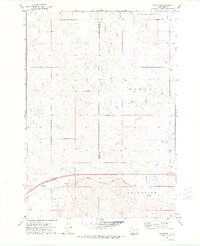
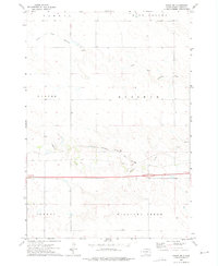
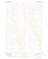
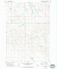
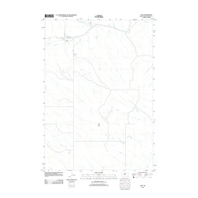
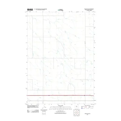
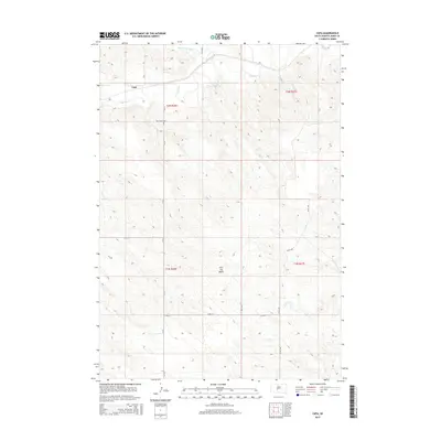
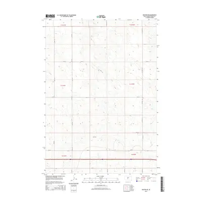
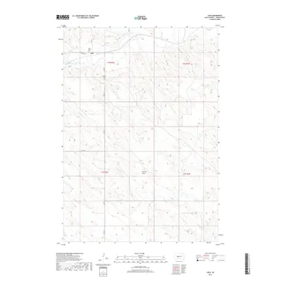
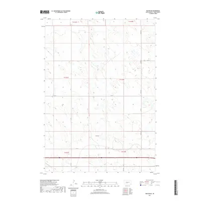
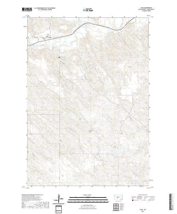
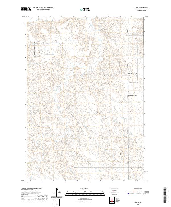
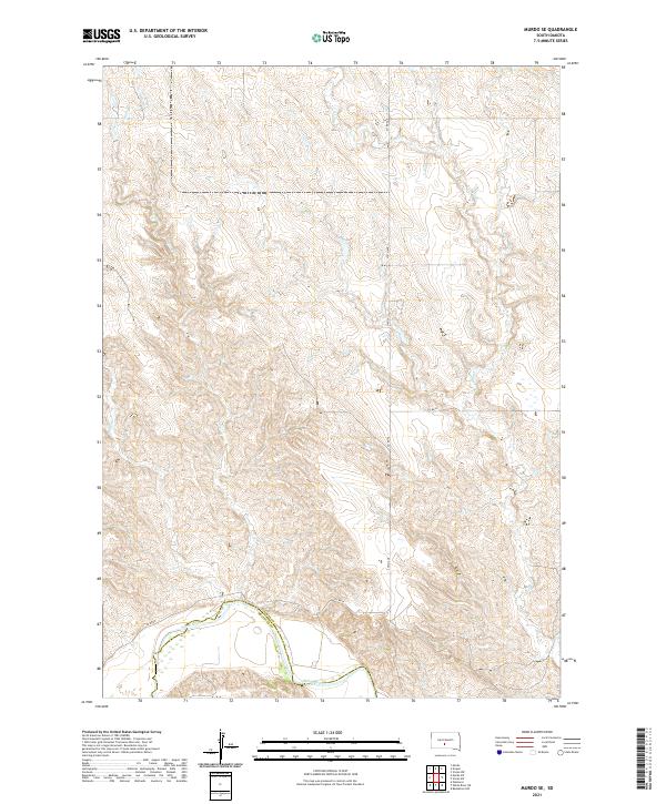
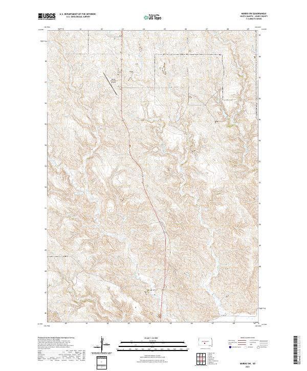
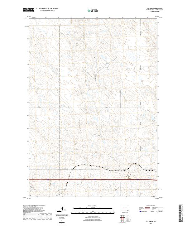
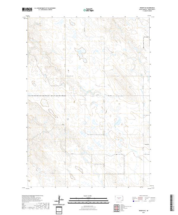
Herd Camp Creek winds through the northern landscape of this Jones County survey, a distinctive drainage feature in an area defined by its named terrain regions. The map identifies broad geographic divisions including Banner and War Creek to the north, and Kolls and Virgil to the south. These names often represent historic grazing associations, early ranching tracts, or localized topographical markers used by early 20th-century settlers and land managers. The layout reveals a high-plains landscape where natural water sources and named territory divisions were essential for navigation and cattle ranching in the early 1970s. Topographic details like fence lines and section boundaries indicate the organized land use of the period, as documented by the U.S. Geological Survey and U.S. Coast and Geodetic Survey.
Find a feature on this map
5 named features on this map. Tap any name to fly to it.
Don’t see what you’re looking for? This feature index may not catch every label — zoom into the map to look around manually.
Map Details
Editions of this 1972 Wendte SE Map
This is the sole edition of this map. No revisions or reprints were ever made.
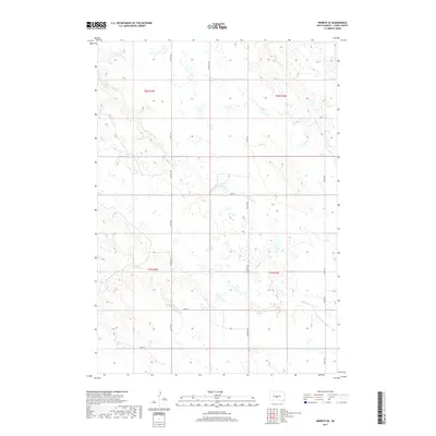
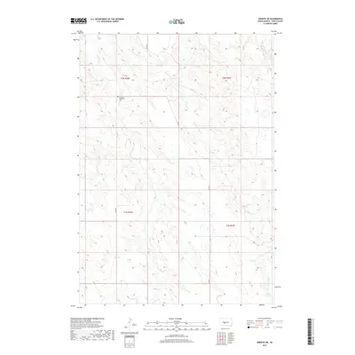
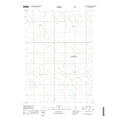
Historical Maps of Jones County Through Time
60 maps found
1951 Capa
Jones County, SD
1951 Capa SE
Jones County, SD
1951 Murdo SE
Jones County, SD
1951 Murdo SW
Jones County, SD
1951 Okaton SE
Jones County, SD
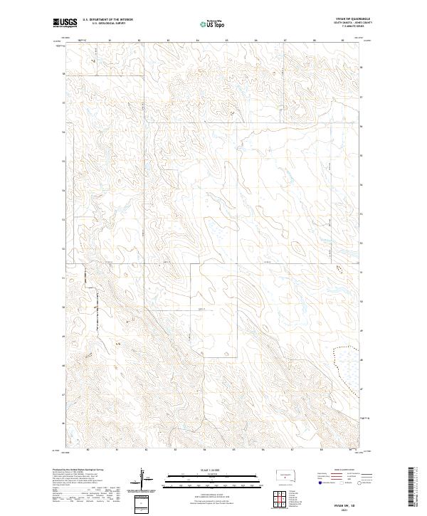
1970 Vivian SW
Jones County, SD
1972 Okaton NE
Jones County, SD
1972 Stamford
Jones County, SD
1972 Vivian NW
Jones County, SD
1972 Wendte SE
Jones County, SD
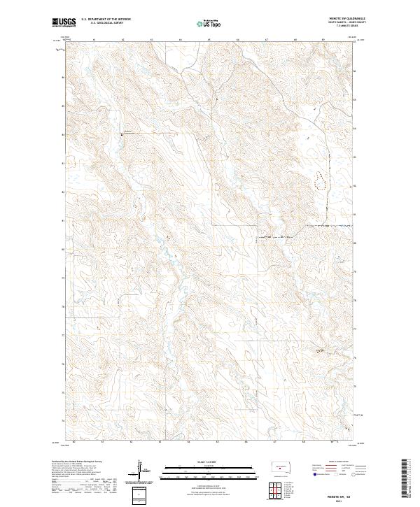
1972 Wendte SW
Jones County, SD
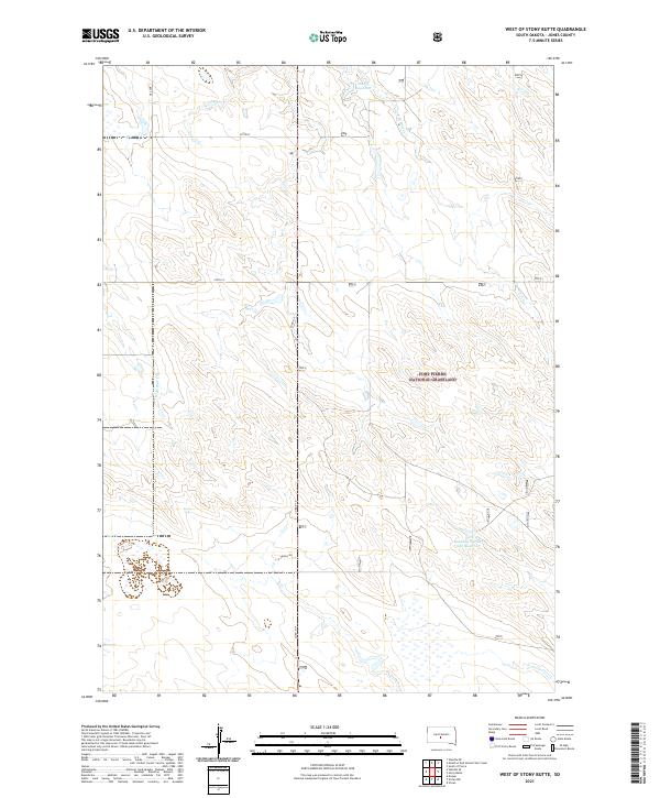
1972 West Of Stony Butte
Jones County, SD
2012 Capa
Jones County, SD
2012 Capa SE
Jones County, SD
2012 Murdo SE
Jones County, SD
2012 Murdo SW
Jones County, SD
2012 Okaton NE
Jones County, SD
2012 Okaton SE
Jones County, SD
2012 Stamford
Jones County, SD
2012 Vivian NW
Jones County, SD
2012 Vivian SW
Jones County, SD
2012 Wendte SE
Jones County, SD
2012 Wendte SW
Jones County, SD
2012 West of Stony Butte
Jones County, SD
2015 Capa
Jones County, SD
2015 Capa SE
Jones County, SD
2015 Murdo SE
Jones County, SD
2015 Murdo SW
Jones County, SD
2015 Okaton NE
Jones County, SD
2015 Okaton SE
Jones County, SD
2015 Stamford
Jones County, SD
2015 Vivian NW
Jones County, SD
2015 Vivian SW
Jones County, SD
2015 Wendte SE
Jones County, SD
2015 Wendte SW
Jones County, SD
2015 West of Stony Butte
Jones County, SD
2017 Capa
Jones County, SD
2017 Capa SE
Jones County, SD
2017 Murdo SE
Jones County, SD
2017 Murdo SW
Jones County, SD
2017 Okaton NE
Jones County, SD
2017 Okaton SE
Jones County, SD
2017 Stamford
Jones County, SD
2017 Vivian NW
Jones County, SD
2017 Vivian SW
Jones County, SD
2017 Wendte SE
Jones County, SD
2017 Wendte SW
Jones County, SD
2017 West of Stony Butte
Jones County, SD
2021 Capa
Jones County, SD
2021 Capa SE
Jones County, SD
2021 Murdo SE
Jones County, SD
2021 Murdo SW
Jones County, SD
2021 Okaton NE
Jones County, SD
2021 Okaton SE
Jones County, SD
2021 Stamford
Jones County, SD
2021 Vivian NW
Jones County, SD
2021 Vivian SW
Jones County, SD
2021 Wendte SE
Jones County, SD
2021 Wendte SW
Jones County, SD
2021 West of Stony Butte
Jones County, SD