
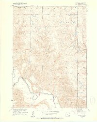
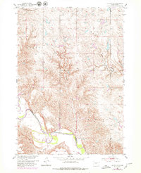
1951 Map of Okaton SE
USGS Topo · Published 1953About this map
White River carves a deep, winding valley across the southern portion of this landscape, marking the boundary between Jones Co and Mellette Co. The topography is defined by the sharp transition from the level uplands of Okaton and Murdo townships into the intricate drainage networks of O'Donald Creek and Horse Creek. In the north, the Chicago Milwaukee St Paul and Pacific railroad traverses the prairie, providing the primary connection for the rural economy during the early 1950s. This period of development, documented as part of the Missouri River Basin project, shows a sparsely settled ranching region where local life centered around remote landmarks like the Osborn Sch and the Barnette Cem. The map illustrates the complex erosion patterns common in the West River country, where small seasonal tributaries like Butch Creek cut through the soft soils toward the river bottom.
Find a feature on this map
12 named features on this map. Tap any name to fly to it.
Don’t see what you’re looking for? This feature index may not catch every label — zoom into the map to look around manually.
Map Details
Editions of this 1951 Okaton SE Map
3 editions found
Other maps of this area

1951 · Okaton SW
USGS Topo · 1:24,000

1951 · Westover
USGS Topo · 1:24,000

1951 · Murdo SW
USGS Topo · 1:24,000

1951 · Murdo 3 NW
USGS Topo · 1:24,000

1951 · Murdo 3 NE
USGS Topo · 1:24,000

1955 · Martin
USGS Topo · 1:250,000

1958 · Martin
USGS Topo · 1:250,000

1972 · Murdo
USGS Topo · 1:24,000

1972 · Okaton
USGS Topo · 1:24,000
1972 · Okaton NE
USGS Topo · 1:24,000