
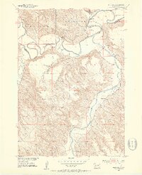
1951 Map of Westover
USGS Topo · Published 1953About this map
The winding White River carves a deep valley through this portion of the Great Plains, defining the border between Jones County and Mellette County. The terrain is characterized by dissected bluffs and flat-topped ridges like Mullen, where the landscape drops sharply into the river bottomlands. In the early 1950s, this area remained sparsely populated, with small rural centers of community life anchored by the Riverview School and local parishes.
Find a feature on this map
12 named features on this map. Tap any name to fly to it.
Don’t see what you’re looking for? This feature index may not catch every label — zoom into the map to look around manually.
Map Details
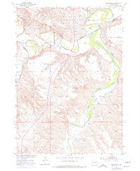
Editions of this 1951 Westover Map
3 editions found
Other maps of this area

1951 · Murdo SE
USGS Topo · 1:24,000

1951 · White River NE
USGS Topo · 1:24,000

1951 · Murdo SW
USGS Topo · 1:24,000

1951 · Murdo 3 NE
USGS Topo · 1:24,000

1951 · Okaton SE
USGS Topo · 1:24,000

1955 · Martin
USGS Topo · 1:250,000

1958 · Martin
USGS Topo · 1:250,000

1982 · White River SE
USGS Topo · 1:24,000

1982 · White River East
USGS Topo · 1:24,000
1982 · White River West
USGS Topo · 1:24,000