
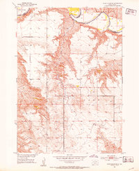
1982 Map of White River SE
USGS Topo · Published 1982About this map
The Little Badlands define the rugged character of this Mellette County landscape, where deep topographic contours reveal the complex erosional patterns of the South Dakota plains. Settlement in this region is defined by large, isolated ranching operations such as the William Krogman Ranch, Egleston Ranch, and Wheeler Ranch. These family-named landholdings follow the natural drainages and breaks in the terrain, illustrating the legacy of the western ranching economy in the late twentieth century.
Find a feature on this map
17 named features on this map. Tap any name to fly to it.
Don’t see what you’re looking for? This feature index may not catch every label — zoom into the map to look around manually.
Map Details
Editions of this 1982 White River SE Map
This is the sole edition of this map. No revisions or reprints were ever made.
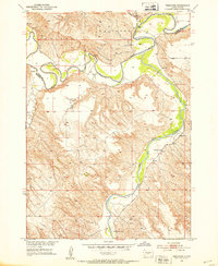
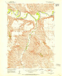
Other maps of this area
1951 · White River NE
USGS Topo · 1:24,000
1951 · Westover
USGS Topo · 1:24,000
1951 · Badnation NW
USGS Topo · 1:24,000

1955 · Martin
USGS Topo · 1:250,000

1958 · Martin
USGS Topo · 1:250,000

1969 · Mission NW
USGS Topo · 1:24,000

1982 · Mission NE
USGS Topo · 1:24,000

1982 · Wood North
USGS Topo · 1:24,000

1982 · White River East
USGS Topo · 1:24,000

1982 · Wood South
USGS Topo · 1:24,000