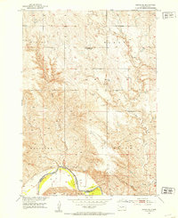
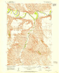
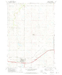
1951 Map of Murdo SE
USGS Topo · Published 1953About this map
The White River defines the southern boundary of this landscape, separating Jones County from Mellette County during the early 1950s. This survey, part of the Department of the Interior's development program for the Missouri River Basin, reveals a sparsely populated terrain organized into large administrative blocks like Westover, Zickrick, and Buffalo.
Find a feature on this map
11 named features on this map. Tap any name to fly to it.
Don’t see what you’re looking for? This feature index may not catch every label — zoom into the map to look around manually.
Map Details
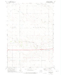
Editions of this 1951 Murdo SE Map
2 editions found
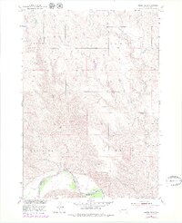
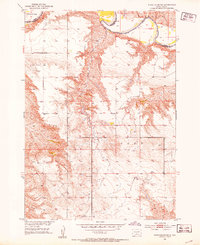
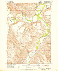
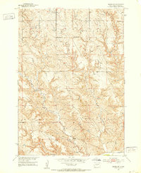
Other maps of this area
1951 · White River NE
USGS Topo · 1:24,000
1951 · Westover
USGS Topo · 1:24,000
1951 · Badnation NW
USGS Topo · 1:24,000
1951 · Murdo SW
USGS Topo · 1:24,000

1955 · Martin
USGS Topo · 1:250,000

1958 · Martin
USGS Topo · 1:250,000
1970 · Vivian SW
USGS Topo · 1:24,000
1972 · Draper
USGS Topo · 1:24,000
1972 · Murdo
USGS Topo · 1:24,000
1972 · Vivian NW
USGS Topo · 1:24,000