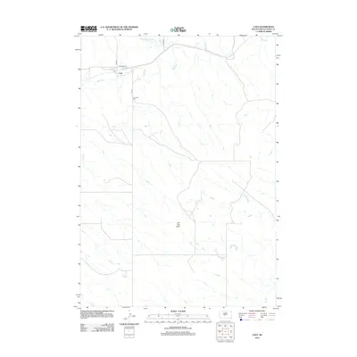
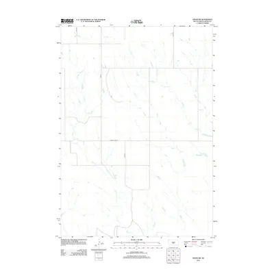
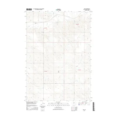
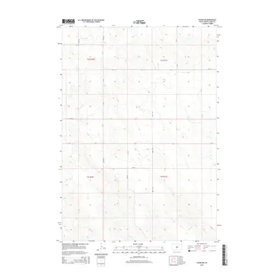
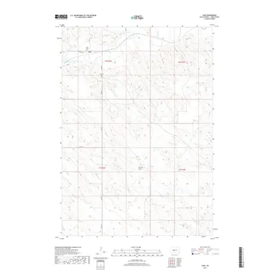
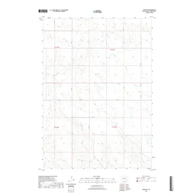
1972 Map of Vivian NW
USGS Topo · Published 1975About this map
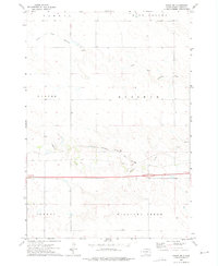
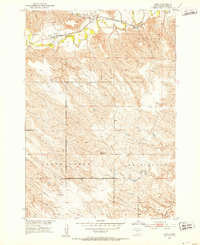
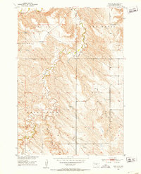
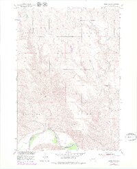
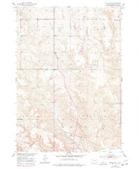
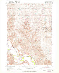
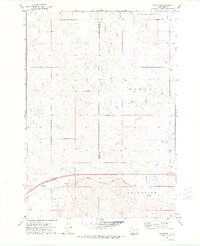
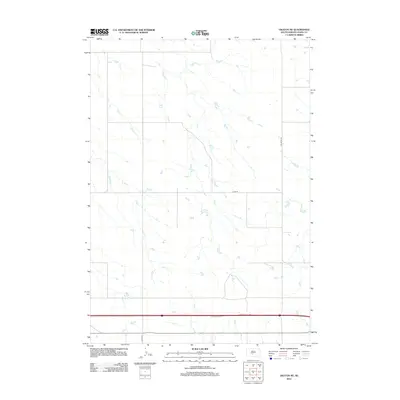
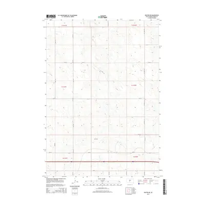
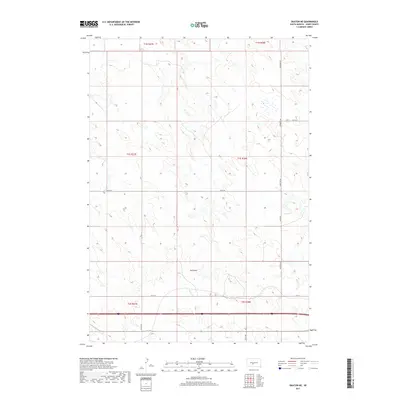
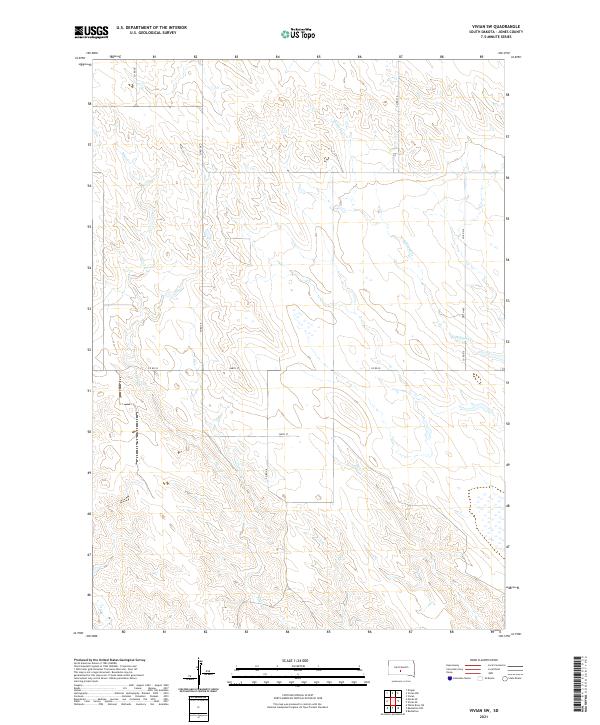
Medicine Creek and its northern tributary, the North Fork Medicine Creek, define the topography of this central South Dakota landscape during the early 1970s. The map illustrates a rural expanse dominated by large townships such as Draper, Mussman, and Williams Creek. Transportation infrastructure is concentrated in the southern half of the sheet, where the Chicago Milwaukee St Paul and Pacific railroad tracks run parallel to the creek valley, mirroring the primary road corridors through the region.
Find a feature on this map
13 named features on this map. Tap any name to fly to it.
Don’t see what you’re looking for? This feature index may not catch every label — zoom into the map to look around manually.
Map Details
Editions of this 1972 Vivian NW Map
This is the sole edition of this map. No revisions or reprints were ever made.
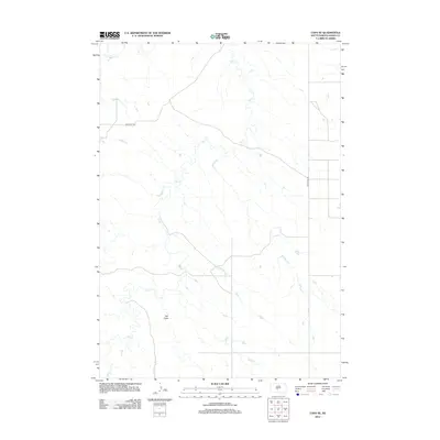
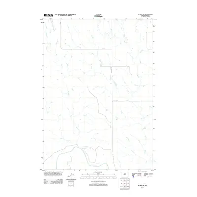
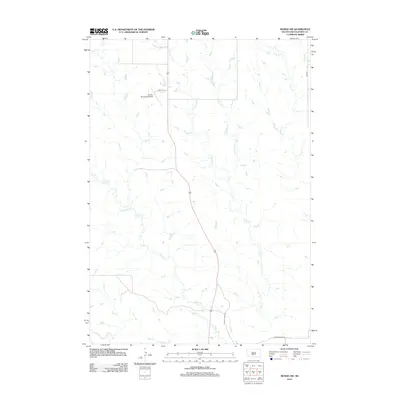
Historical Maps of Jones County Through Time
60 maps found
1951 Capa
Jones County, SD
1951 Capa SE
Jones County, SD
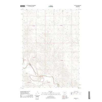
1951 Murdo SE
Jones County, SD
1951 Murdo SW
Jones County, SD
1951 Okaton SE
Jones County, SD
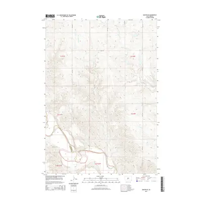
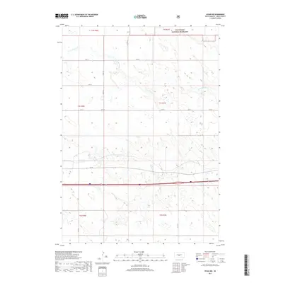
1970 Vivian SW
Jones County, SD
1972 Okaton NE
Jones County, SD
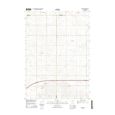
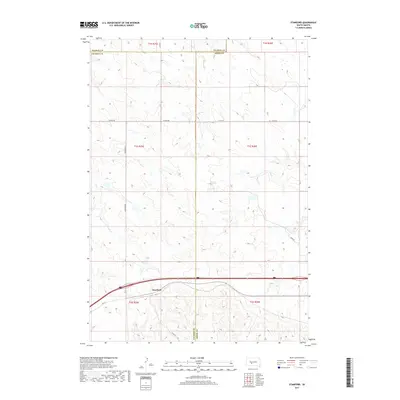
1972 Stamford
Jones County, SD
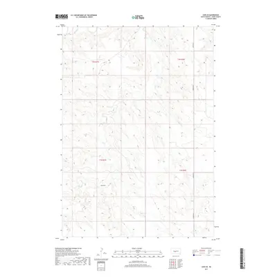
1972 Vivian NW
Jones County, SD
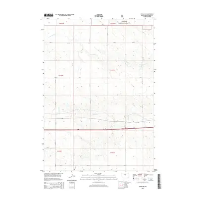
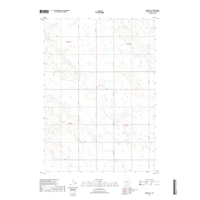
1972 Wendte SE
Jones County, SD
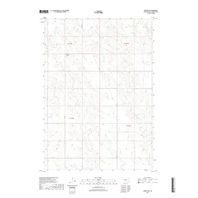
1972 Wendte SW
Jones County, SD
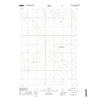
1972 West Of Stony Butte
Jones County, SD
2012 Capa
Jones County, SD
2012 Capa SE
Jones County, SD
2012 Murdo SE
Jones County, SD
2012 Murdo SW
Jones County, SD
2012 Okaton NE
Jones County, SD
2012 Okaton SE
Jones County, SD
2012 Stamford
Jones County, SD
2012 Vivian NW
Jones County, SD
2012 Vivian SW
Jones County, SD
2012 Wendte SE
Jones County, SD
2012 Wendte SW
Jones County, SD
2012 West of Stony Butte
Jones County, SD
2015 Capa
Jones County, SD
2015 Capa SE
Jones County, SD
2015 Murdo SE
Jones County, SD
2015 Murdo SW
Jones County, SD
2015 Okaton NE
Jones County, SD
2015 Okaton SE
Jones County, SD
2015 Stamford
Jones County, SD
2015 Vivian NW
Jones County, SD
2015 Vivian SW
Jones County, SD
2015 Wendte SE
Jones County, SD
2015 Wendte SW
Jones County, SD
2015 West of Stony Butte
Jones County, SD
2017 Capa
Jones County, SD
2017 Capa SE
Jones County, SD
2017 Murdo SE
Jones County, SD
2017 Murdo SW
Jones County, SD
2017 Okaton NE
Jones County, SD
2017 Okaton SE
Jones County, SD
2017 Stamford
Jones County, SD
2017 Vivian NW
Jones County, SD
2017 Vivian SW
Jones County, SD
2017 Wendte SE
Jones County, SD
2017 Wendte SW
Jones County, SD
2017 West of Stony Butte
Jones County, SD
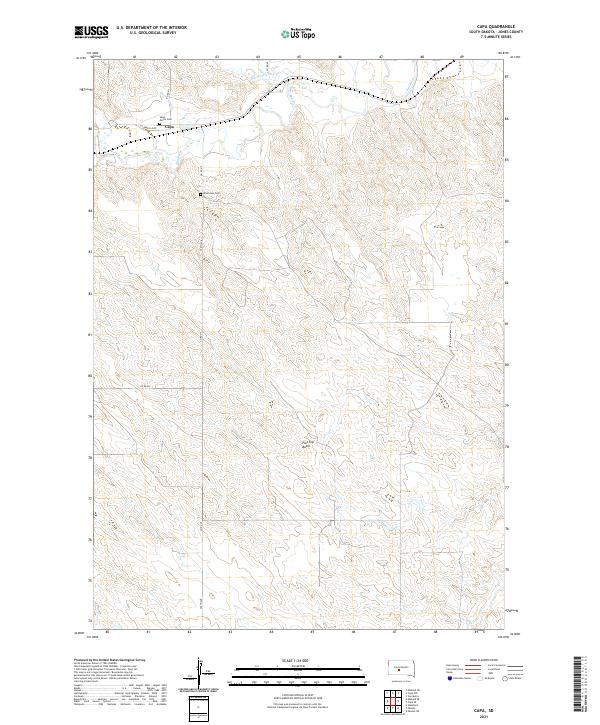
2021 Capa
Jones County, SD
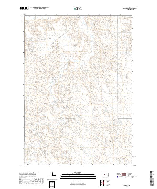
2021 Capa SE
Jones County, SD
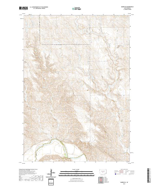
2021 Murdo SE
Jones County, SD
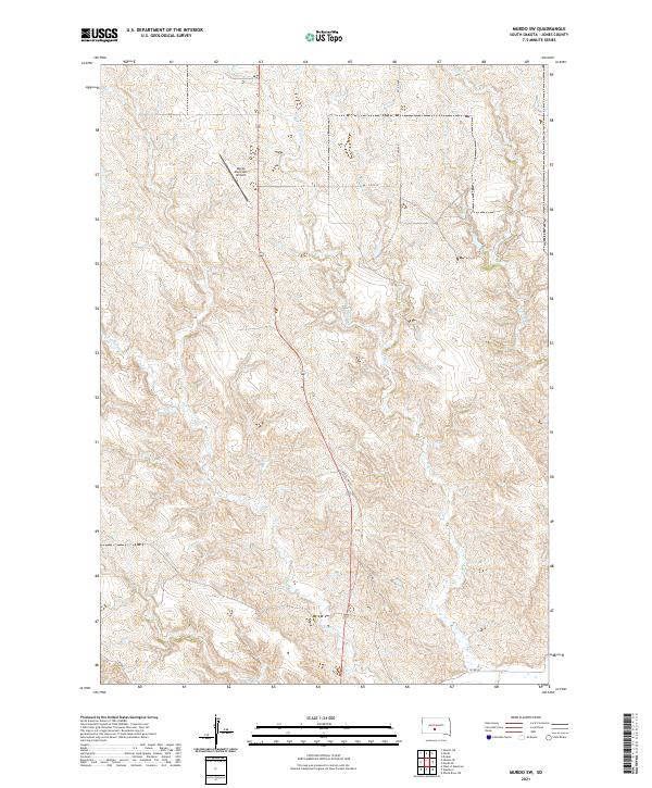
2021 Murdo SW
Jones County, SD
2021 Okaton NE
Jones County, SD
2021 Okaton SE
Jones County, SD
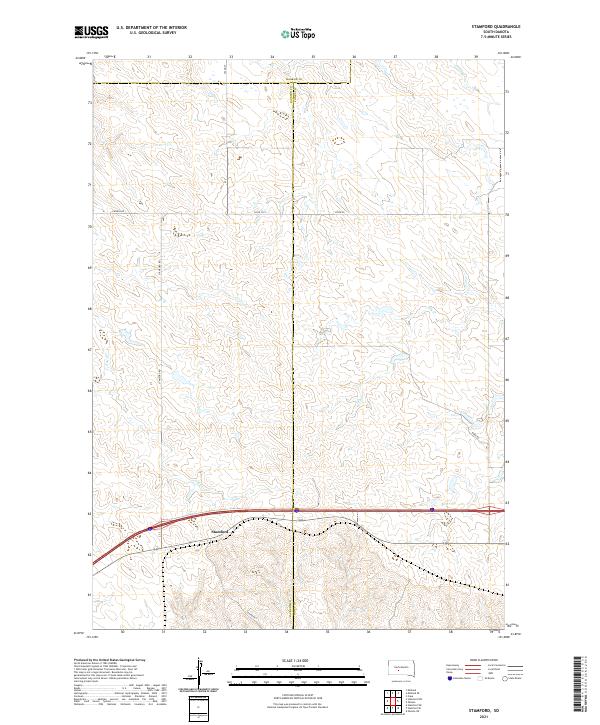
2021 Stamford
Jones County, SD
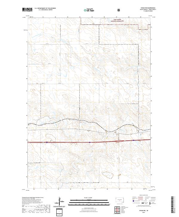
2021 Vivian NW
Jones County, SD
2021 Vivian SW
Jones County, SD
2021 Wendte SE
Jones County, SD
2021 Wendte SW
Jones County, SD
2021 West of Stony Butte
Jones County, SD