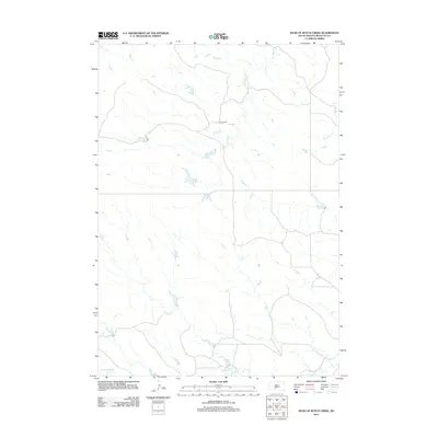
2012 Map of Head of Butch Creek
USGS Topo · Published 2012About this map
U P Ranch stands as a primary landmark in this rural Mellette County landscape, situated where several local drainages begin to shape the prairie. This 2012 survey illustrates a sparse ranching environment defined by its water sources, most notably the upper reaches of Butch Cr. The map details a network of unpaved roads and section lines that provide access to this portion of the Swift Bear Segment. The topography is largely dictated by the winding paths of Roundup Cr and Cedar Cr in the northern half, while Cottonwood Cr cuts across the southern section, showing how the headwaters of these streams have influenced the placement of local homesteads and ranching infrastructure.
Find a feature on this map
5 named features on this map. Tap any name to fly to it.
Don’t see what you’re looking for? This feature index may not catch every label — zoom into the map to look around manually.
Map Details
Editions of this 2012 Head of Butch Creek Map
This is the sole edition of this map. No revisions or reprints were ever made.
Other maps of this area

1951 · Stamford SE
USGS Topo · 1:24,000

1951 · Cedar Butte NE
USGS Topo · 1:24,000

1951 · Okaton SW
USGS Topo · 1:24,000

1951 · Murdo 3 NW
USGS Topo · 1:24,000

1951 · Murdo 3 NE
USGS Topo · 1:24,000

1951 · Okaton SE
USGS Topo · 1:24,000

1955 · Martin
USGS Topo · 1:250,000

1958 · Martin
USGS Topo · 1:250,000

1980 · Kadoka
USGS Topo · 1:100,000

1981 · Cedar Butte
USGS Topo · 1:25,000